30 May 2022
22 November 2018
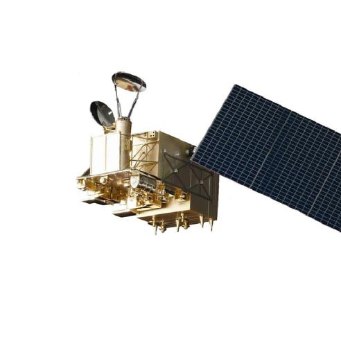
The Ice Cloud Imager (ICI) is the sub-millimetre-wave conically scanning radiometric imager that will be on board the new EPS-SG satellite series. It has channels from 183 up to 664GHz.
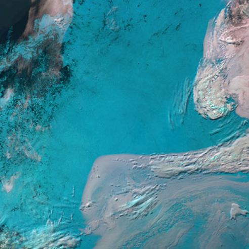
The ICI channels do not see the surface with high contrast because of the high absorption of the atmosphere. As such, for the geolocation validation of the ICI instrument, it is necessary to develop new methodologies and identify proper targets. The goal of the visiting scientist activity is to perform an initial assessment of the landmark method in support of ICI cal/val geolocation validation.
Mario Papa
Mario Papa is a PhD student in Radar and Remote Sensing at the Department of Information Engineering, Electronics and Telecommunications at “Sapienza” University or Rome. He completed MSc in Aeronautical Engineering from Sapienza University of Rome in 2015.
His research interests include numerical weather prediction model development and Earth Observation using microwave instruments. He is an expert on writing and testing new software and he is very familiar with LINUX environment and supercomputers. He was involved in several projects with Italian Aerospace Research Center (CIRA) and Operative Center for Meteorology of Italian Air Force (COMET).