30 May 2022
27 July 2017
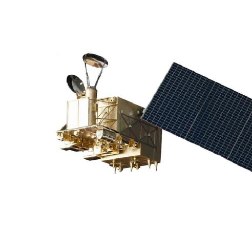
To support the Sentinel-3 mission cal/val, a dedicated remote platform (GSES — Ground Segment Engineering Services) has been implemented. Users can remotely connect to analyse the data from all Sentinel-3A instruments (SLSTR, OLCI and SRAL).
During a nine-month span, we designed a framework on this platform to enable the cal/val activities. The work was mainly focused on the SLSTR instrument, but the framework was prepared as a multi-sensor and multi-mission framework from its inception. It addresses, through different open-source off-the-shelf tools, issues such as:
- The management of the platform configuration itself, software deployment, source control and processing environments (using ansible, gitlab).
- The management and control of automatic dataflows (collecting the necessary input data, as well as required reference or complementary datasets) and workflows (automated background operations) (using airflow).
- The interactive remote processing of data through tools like Jupyter, or distributed processing over several virtual machines (using celery).
- The generation of satellite to in situ match-up databases and satellite to satellite cross-overs (using indexing tools felyx and naiad) based on third party "big data" technologies (using ElasticSearch).
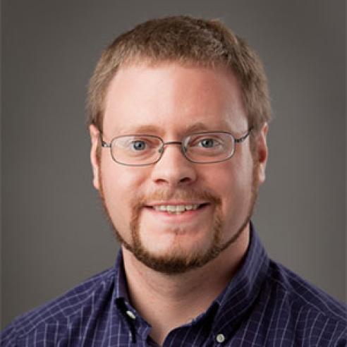
Jean-François Piolle
Jean-François is a research engineer at Ifremer (Institut français de recherche pour l'exploitation de la mer), the primary French marine institute. He is currently coordinating the CERSAT, the satellite data centre of Ifremer, managing and producing remote sensing observation products for the oceanographic community.
He is involved in many national and international projects dealing with ocean products development or validation, with EUMETSAT (Ocean & Sea-Ice SAF), ESA (Medspiration, GlobWave, GlobCurrent, OceanFlux, Felyx), CNES (SMOS, CFOSAT), or EU (CMEMS). In particular, for all these projects, he has designed several advanced tools for the search, extraction, and visualisation of remote sensing or in situ data, the implementation of multi-sensor intercomparison/colocation frameworks or the production of matchup databases, with a later interest in thematic Earth Observation data exploitation platforms making use of cloud computing and big data technologies.
Jean-François is also a member of the GHRSST (Group for High Resolution Sea Surface Temperature) science team. He was a visiting scientist at EUMETSAT’s Remote Sensing Product division, supporting the calibration/validation of the Sentinel-3A mission, with a main focus on SLSTR instrument.