30 years of progress in radar altimetry symposium
Montpellier, France, 2 – 7 September 2024
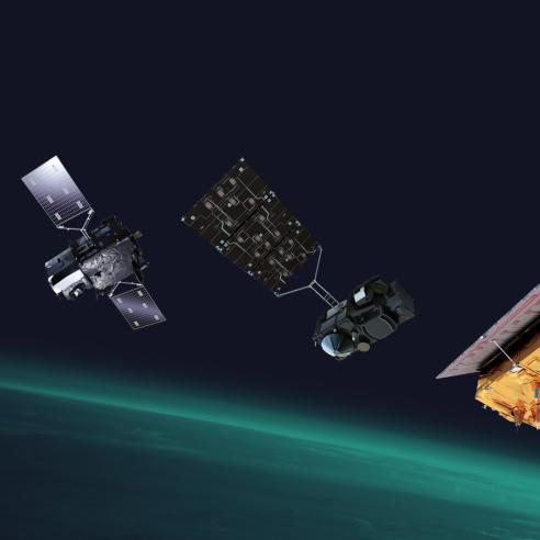
Radar altimetry has provided the principal global data source enabling the development of operational oceanography and hydrology

This year marks the 30-year anniversary of precise altimetry. This symposium follows successful events marking the milestones of 15, 20 and 25 "years of progress in radar altimetry" (held respectively in 2006, 2012, and 2018).
06 February 2024
29 January 2024
Radar altimetry is a key component of the Global Earth Observation System of Systems (GEOSS), and over the last 30 years has provided the principal global data source enabling the advancement of Earth system science and the development of operational oceanography and hydrology. Radar altimetry contributes to a large number of societal needs, from climate monitoring to weather forecasting, with subsequent applications in a range of activities of socio-economic importance, including agriculture, health, energy, the freshwater resource, maritime safety, etc.
The symposium is organised by the European Space Agency, in collaboration with the French Space Agency, CNES, with EUMETSAT part of the organising committee. The event will be organised around key papers, presenting the challenges we have overcome to develop our current understanding of the Earth’s surface variations observed by altimetry, and the perspectives for future developments.
Contributors to the symposium are invited to submit abstract describing the evolution of their work and results in the past five years working on the 30 years of available multi-mission altimetry data.
For more information on the symposium, please visit the dedicated symposium website here.
Abstracts can be submitted here until 1 March 2024.