28 March 2023
11 May 2020
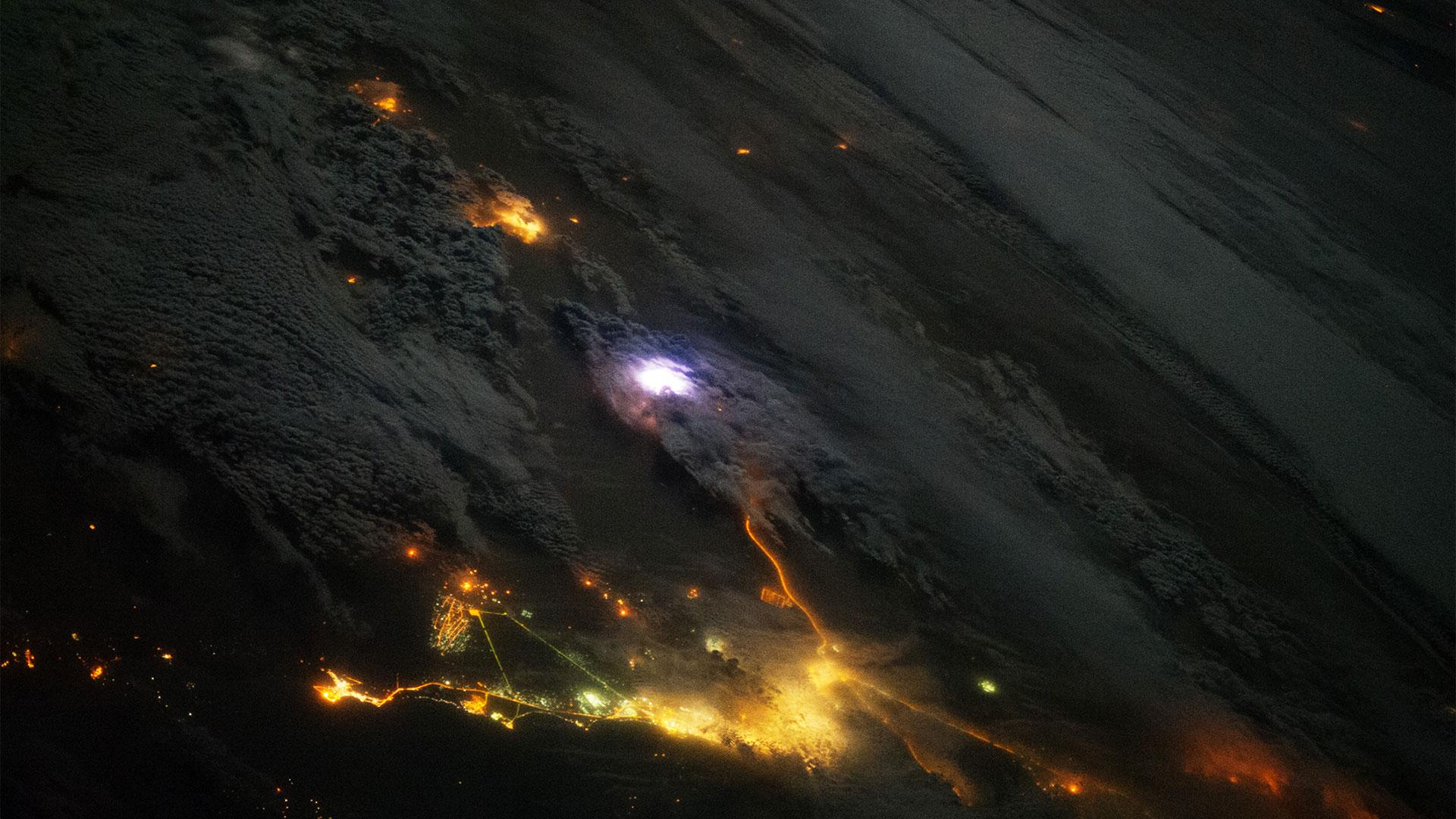
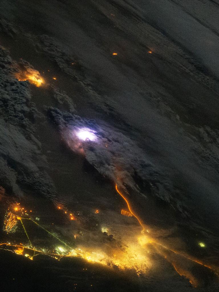
EUMETSAT, together with ESA, is currently developing the Meteosat Third Generation (MTG) mission, which will become the primary European source of geostationary observations over Europe and Africa. One of the MTG satellite instruments is the Lightning Imager (LI). The LI instrument will provide a real time lightning detection (cloud-to-cloud and cloud-to-ground strokes) and location capability in support of NWC and VSRF, for severe storm hazards and lightning strike warning. Related to the development of the MTG system, targeted scientific studies to support the MTG LI cal/val activities are needed. This study will compare data from various ground-based lightning location systems to data from the Lightning Imaging Sensor flown on the International Space Station (ISS-LIS), which it is planned will be available until early 2022.

Objectives
The main objective of the study is to improve the knowledge of ground-based Lightning Location System (LLS) measurements, with a view to using those measurements to assist the upcoming MTG LI cal/val tasks.
The study will:
- Compare the ground-based LLS network data with ISS-LIS for the periods from 20 May to 30 Nov 2017 and from 27 May to 15 Jun 2018, over the MTG LI domain (N -75° to 75°, E -75° to 75°), particularly in areas like Europe, the Mediterranean, Africa (North, Middle, South), the Atlantic (North, East, West, South) and South America.
- Use the ground-based LLS network datasets ATDnet, EUCLID and GLD360.
- Study the performance of the LLS networks using the relative performance figures between the ISS-LIS and LLS datasets.
All datasets have been made available by EUMETSAT for this study.
Overview
The project analyses the performance of the three LLS networks included in the study, in terms of calculated relative performance figures between the ISS-LIS and LLS datasets. The datasets are as follows:
- ISS-LIS: Lightning Imaging Sensor aboard the International Space Station (ISS). ISS-LIS is a flight spare for the LIS instrument flown on the Tropical Rainfall Measurement Mission (TRMM), which forms the technical and scientific basis of the GOES-R GLM mission. The spare LIS was placed on the ISS in Feb 2017 for a mission duration of a minimum of four years.
- ATDnet: The arrival time difference (ATD) long-range lightning location network (ATDnet) is the long-range, very low frequency (VLF) lightning location network owned and operated by the UK Met Office.
- EUCLID: EUCLID (EUropean Cooperation for LIghtning Detection) is a collaboration among national lightning detecting networks in 27 countries (147 sensors), with the aim to identify and detect lightning across the European area.
- GLD360The Global Lightning Dataset (GLD360) is a global lightning detection network operated by Vaisala, with data being made available to users since May 2011. The GLD360 employs VLF sensors, and the stroke locations are obtained using both time-of-arrival and magnetic-direction-finding methods, in conjunction with a lightning waveform recognition algorithm.


