16 February 2023
28 July 2022
EUMETSAT manages the operations of Ocean Colour products derived from the Ocean and Land Colour Imager (OLCI) instrument flown on the Sentinel-3 satellites from the European Commission Copernicus Programme. Ocean Colour System Vicarious Calibration (OC-SVC) with radiometric measurements at sea is required to achieve the quality of the Ocean Colour products defined in the mission requirements. OC-SVC requires a dedicated infrastructure at a favourable location. EUMETSAT has initiated activities on behalf of the EC to investigate the Copernicus OC-SVC infrastructure.
This study is part of a survey to find the best location for potential Copernicus OC-SVC infrastructure in European waters in terms of atmospheric, oceanographic and logistical site characteristics. The study follows Phase-1 and Phase-2 activities of the Copernicus OC-SVC roadmap and precedes the proposed Phase-4 activity. Phase-1 and Phase-2 were respectively the Scientific, Technical and Operational Requirements, and the Preliminary Design, Project Plan and Costing. The proposed Phase-4 is the Technical Definition, Specification, and Detailed Design study.
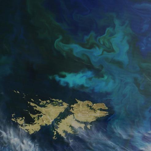
This study climatologically characterised four sites near the island of Lampedusa (Italy) in terms of multiple atmospheric, oceanographic, logistical and other relevant parameters, in order to assess its suitability for the Copernicus OC-SVC infrastructure.
Lampedusa site locations: LMP1: 35.5N, 12.8E; LMP2: 35.75N, 12.35E; LMP3: 35.85N, 12.73E; LMP4: 35.78N, 13.07E
Objectives
The main objective of the study was to demonstrate the suitability of the marine area around the island of Lampedusa (Italy) as a candidate site to host the Copernicus infrastructure dedicated to Ocean Colour System Vicarious Calibration (OC-SVC). This was accomplished through the assessment and documentation of relevant atmospheric and oceanographic environmental characteristics as well as existing scientific and technical facilities.
Overview
The study demonstrated, on the basis of the analyses of long term and quality-controlled data, that the marine area around Lampedusa fully complies with the environmental and logistic requirements.
- Lampedusa is a small (≈20km2) and isolated island, with low (max 133m altitude) and smooth topography, faraway (> 120km) from large islands or continental areas.
- The population of the island is relatively low (≈6000 inhabitants) and a negligible impact of anthropogenic activities has been documented.
- The presence of the island produces a negligible influence on the atmospheric composition, influenced mostly by processes and sources from the mainland, and on the atmospheric dynamics, which is dominated by synoptic-scale processes.
- The area is characterised by high frequency of cloud-free conditions and relatively high values of solar radiation. The annual mean occurrence of clear sky conditions (cloud cover <0.1) is about 45% (48% at 10:00am LST), reaching about 80% in July. No cloud cover diurnal cycle is observed.
- Maritime aerosols are the main aerosol component. There is a high occurrence of days with low Aerosol Optical Depth (AOD) (the median AOD at 550nm is 0.125). The main disturbance is due to short lived (1-2 days) sporadic events of Saharan dust transport with relatively high AOD. About 58 days per year on average are affected by dust, with large interannual variability.
- Atmospheric disturbances (cloudiness, anomalous aerosols load, and high winds) are correlated, leading to a higher occurrence of favourable conditions. Unfavourable conditions are mostly due to synoptic scale processes affecting the whole region.
- The site is characterised by highly transparent and oligotrophic waters throughout the year. The high spatial and temporal stability and homogeneity of bio-optical properties indicate a low bio-optical complexity of the area.
- CHL is < 0.2mg m-3 for more than 90% of the observations (97% at the LMP4 candidate site); CHL exceeds 0.2mg m-3 mainly in wintertime. In all the proposed sites, an annual cycle of the CHL is present with a minimum in summer (≈0.03mg m-3) and a maximum in winter (≈0.25mg m-3).

- Rrs spectra clearly show that the most frequent colour that characterises the waters near the sites is blue. Values (from 0.5 to 1.1ppb of Quinine Sulphate) and seasonal cycle of the fluorescent fraction of CDOM are consistent with those observed in open oligotrophic waters across the Eastern Mediterranean basin by Biogeochemical Argo floats.
- The characterisation of the bio-optical properties vertical variability shows that CHL is always < 0.2mg m-3 in the upper 40m of the water column, regardless of the season, and all the IOPs are homogeneously distributed in the upper 40m depth.
- The wind pattern is driven by the main synoptic systems. The prevailing wind direction is N-NW, with limited seasonal change. Wind velocity has an annual cycle with a minimum in summer and a maximum in winter. About 70% of daily wind velocity values are below 8m/s.
- The wave regime is characterised by calm summer conditions, and a limited-in-time active sea state in the winter period. The calm conditions (SWH <0.5m) occur in 70% of the cases in summer and 30% in winter. Stormy conditions have a limited time duration (≈ 2 days) and are followed by extended periods of calm sea.
- The proposed sites are located ~150km away from the more intense and persistent current systems of the Sicily Channel. The current’s intensity around the candidate OC-SVC sites is 10 to 20cm/s, with rather negligible shear along the first 50m of depth.
- The temperature and salinity fields are homogenous both horizontally and vertically. Their variability is mainly driven by the seasonal forcing; the mean differences between the surface layer and the 20m level values are around 2.5°C and 0.1PSU, respectively.
- Lampedusa is well connected to Italy with daily flights and ferry. It has a main port where large ships can dock, equipped with several large-size cranes and tow trucks. A secondary harbour, equipped with docks and piers, is also present.
- The island offers relevant technical facilities such as: diving centres, blacksmith workshops, hardware stores providing nautical equipment and stainless-steel components, mid-size fishing boats equipped with cranes and marine tools.
- A high-volume data communication, linked to the ultra-broadband network dedicated to the Italian research and education community (GARR), is available.
- A well-established and internationally recognised Lampedusa Climate Observatory ensures the needed scientific and management expertise, the presence of trained personnel, access to technical facilities (eg calibration laboratory) and logistic infrastructures. The climate observatory contributes to EU research infrastructures (ICOS, ACTRIS, the Italian contribution to EMSO) and its operation will be continued over time.
- Availability of long-term (>20 years) quality-controlled datasets of ground-based observations for atmospheric characterisation and comprehensive records of scientific publications (>200 ISI journal papers) will ensure access to high quality measurements useful to the OC-SVC.