Global weather 2025

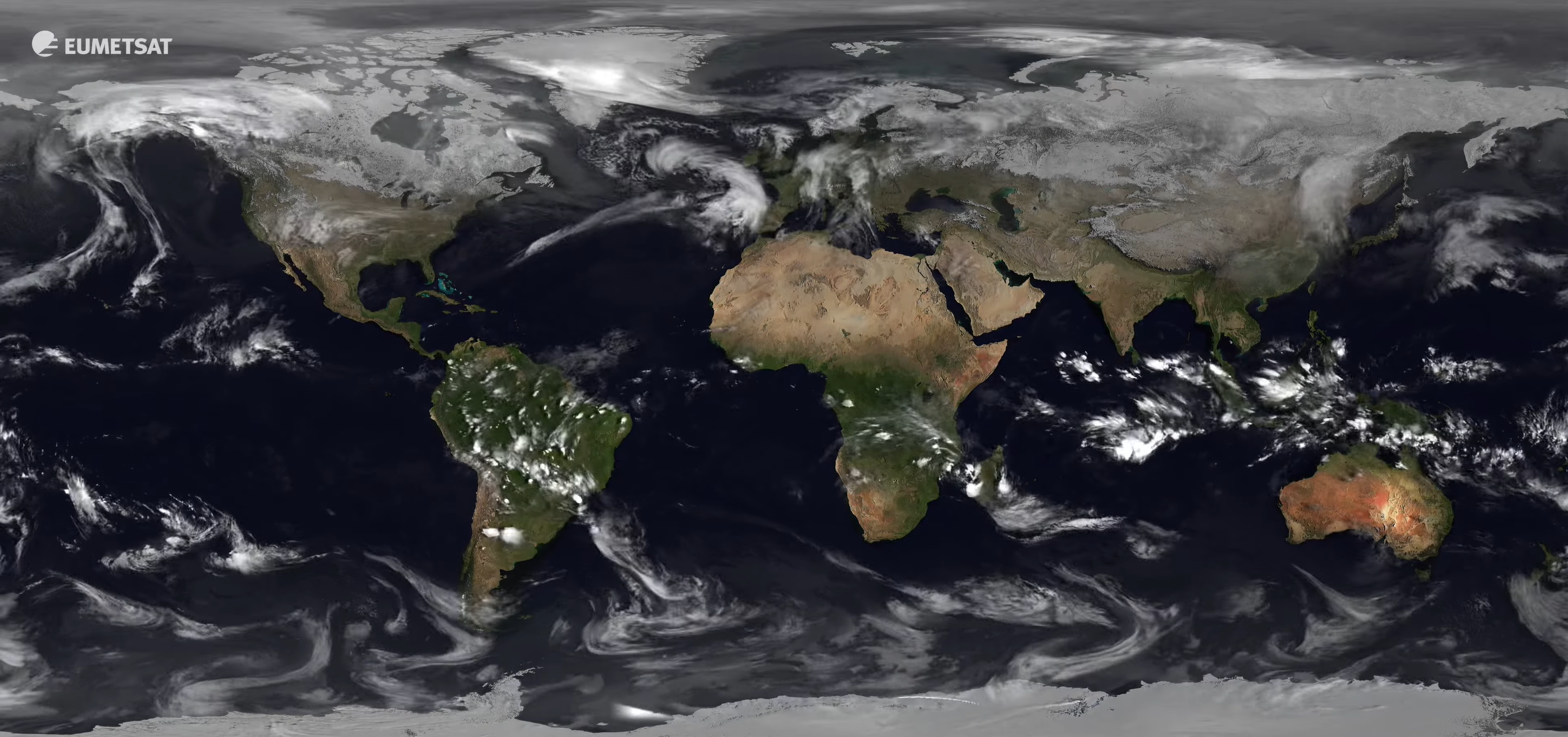
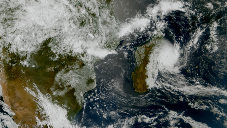
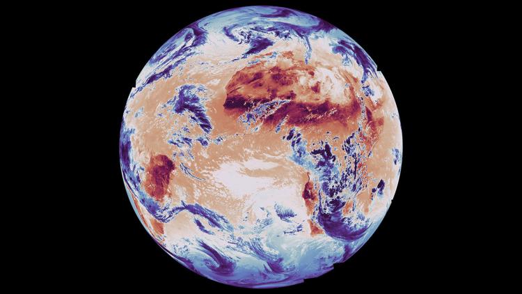
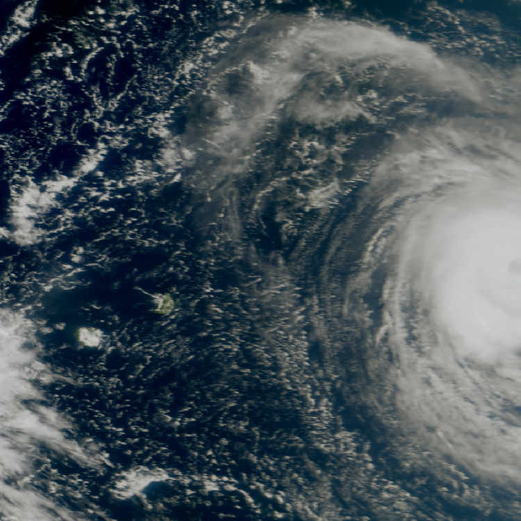
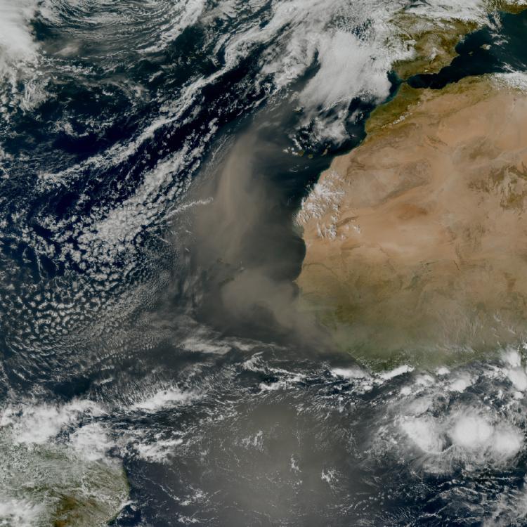
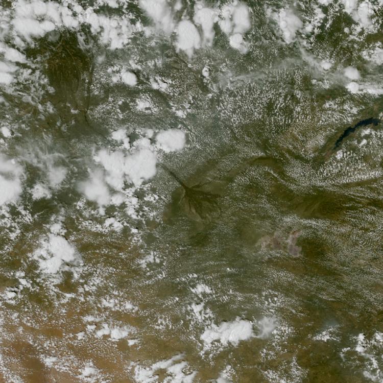
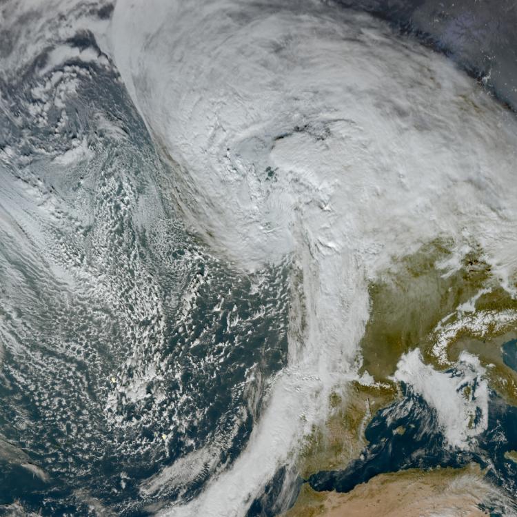
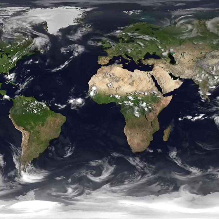
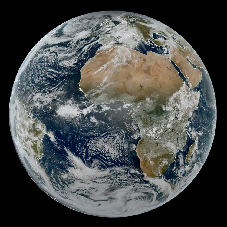
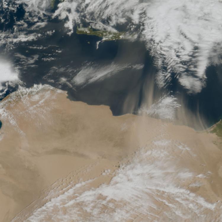
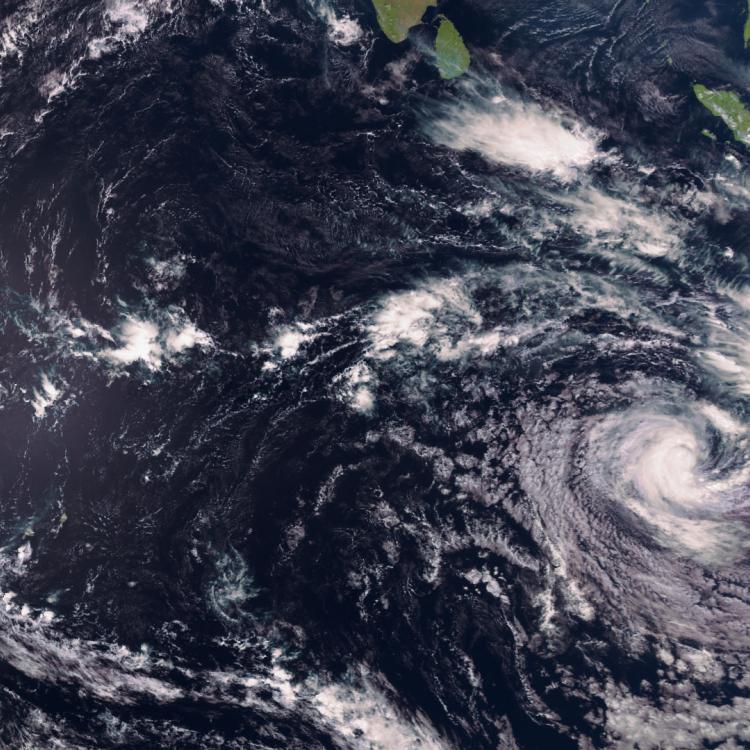
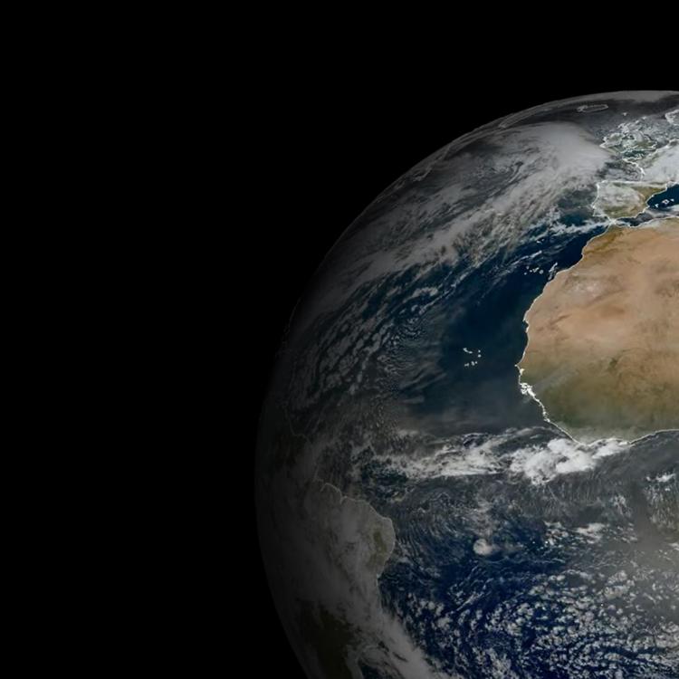
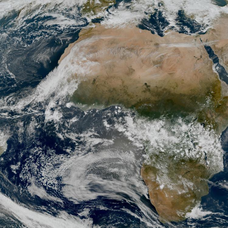
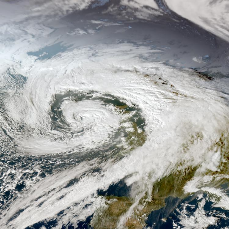
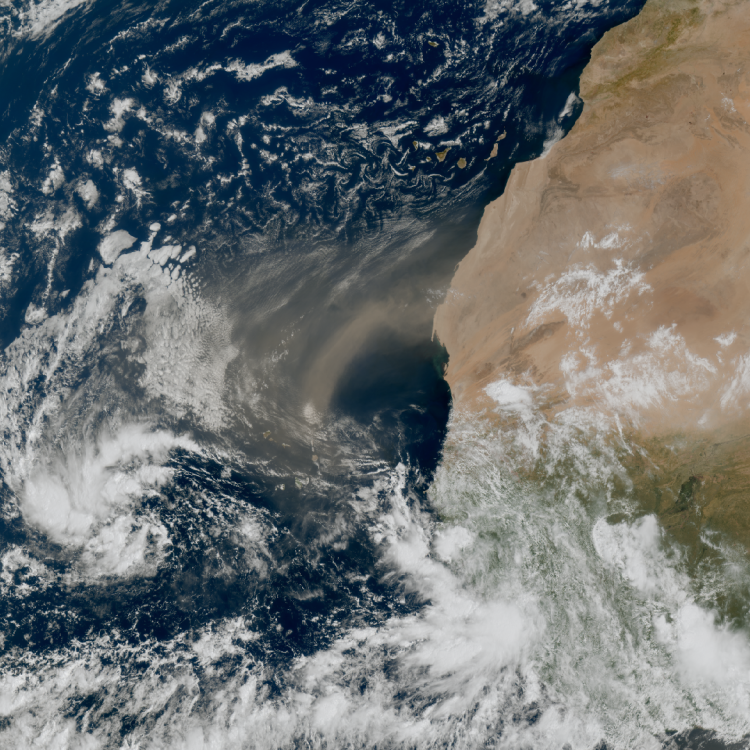
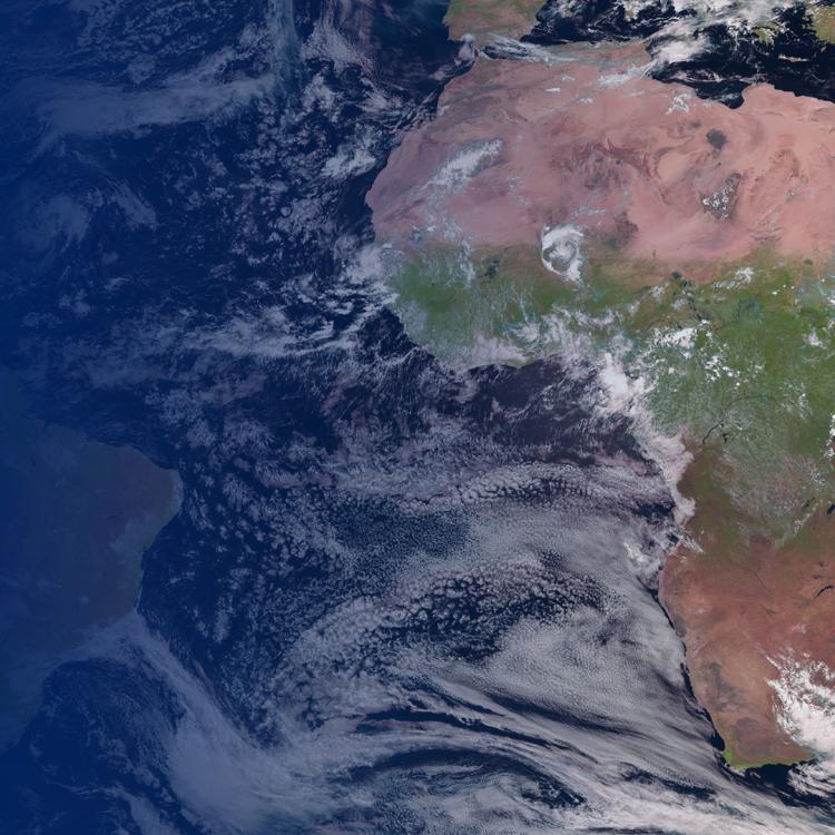
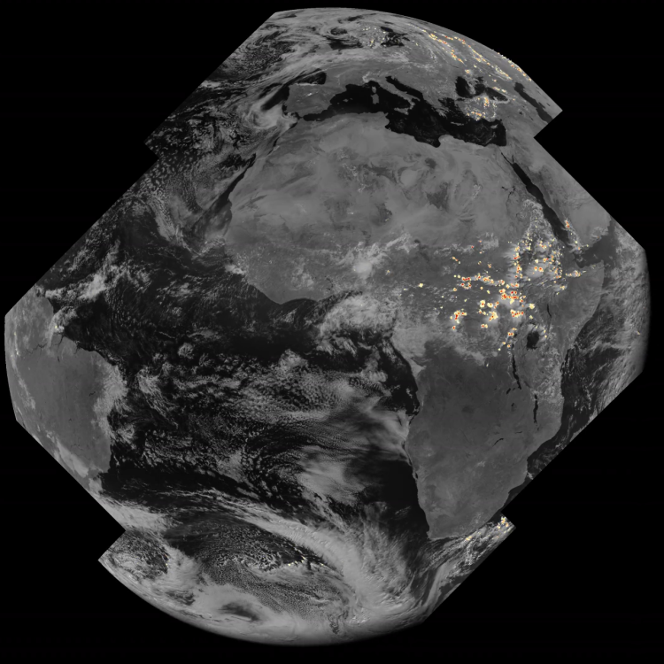
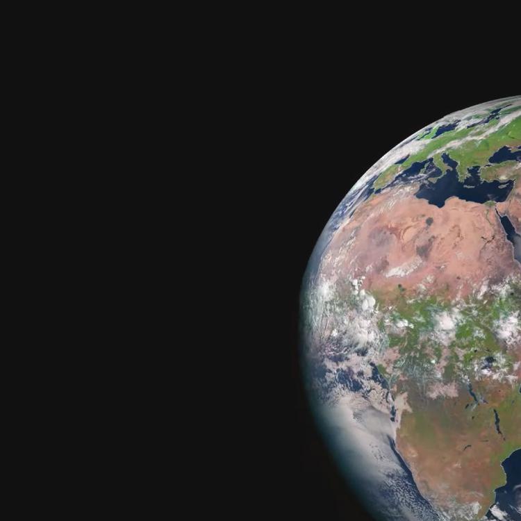
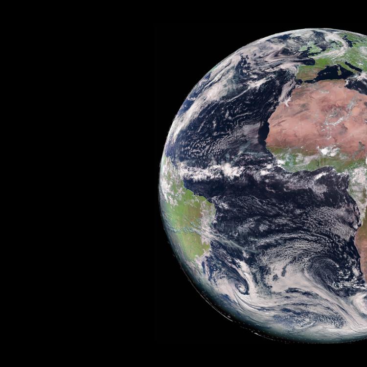
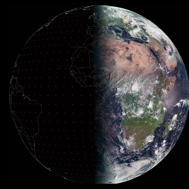
Image of the week: Global weather from space


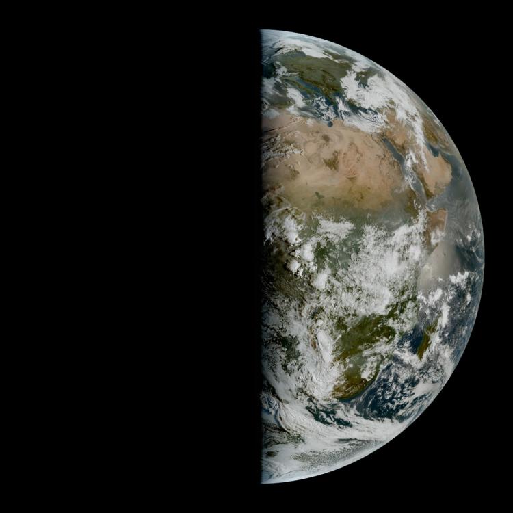
Watching our Earth from 36,000km

Global weather 2025
Global weather 2025

This week’s image of the week is of the Earth as seen from the vantage point of geostationary weather satellites 36,000km above our planet.

Last Updated

26 March 2026

Published on

24 March 2026

The composite image includes imagery from the geostationary satellites of EUMETSAT (Meteosat-9, -10, -11 and -12), the National Ocean and Atmospheric Administration (NOAA) in the US, the China Meteorological Administration (CMA) and the Japan Meteorological Agency (JMA). 

A full year of weather for the entire Earth can be seen here.

Meteosat

EUMETSAT’s Meteosat satellites are a key part of the global ring of geostationary weather satellites and observe the Earth over Europe, Africa and the Indian Ocean. See their current view from our Earth view stream.

Weather satellite programmes are coordinated globally through the Coordination Group for Meteorological Satellites (CGMS).

Global weather 2025

Earth image

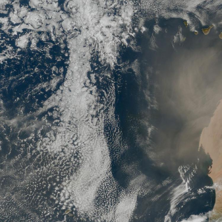
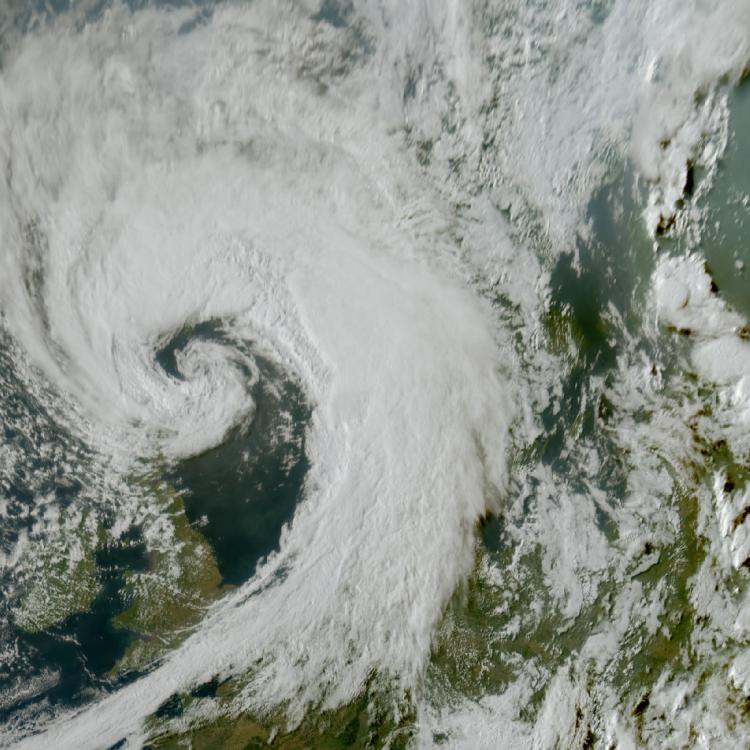
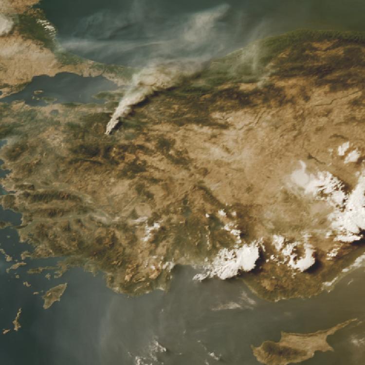
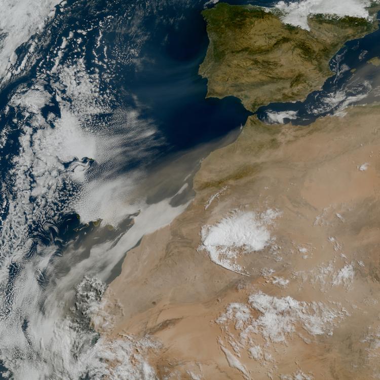
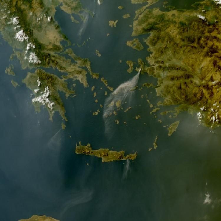
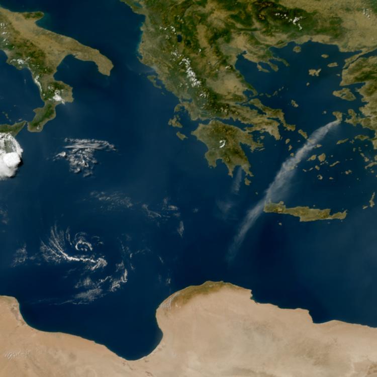
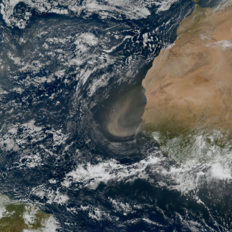
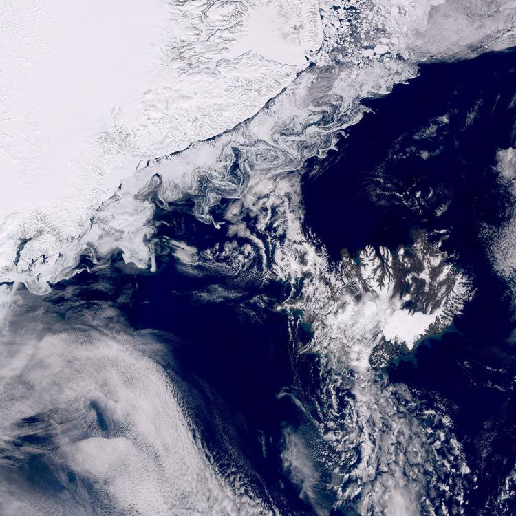
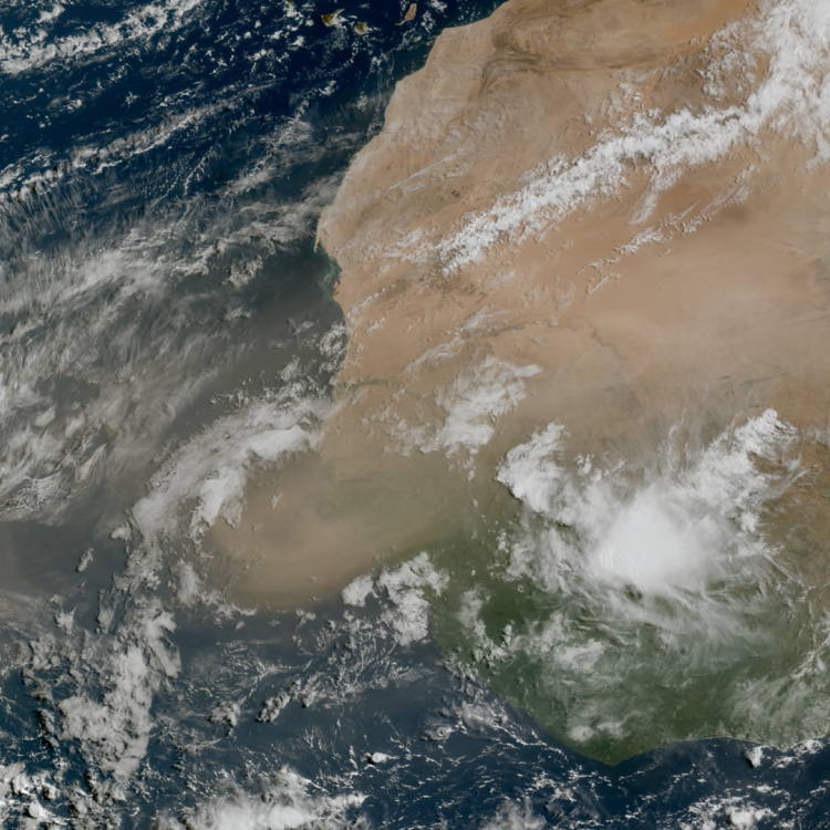
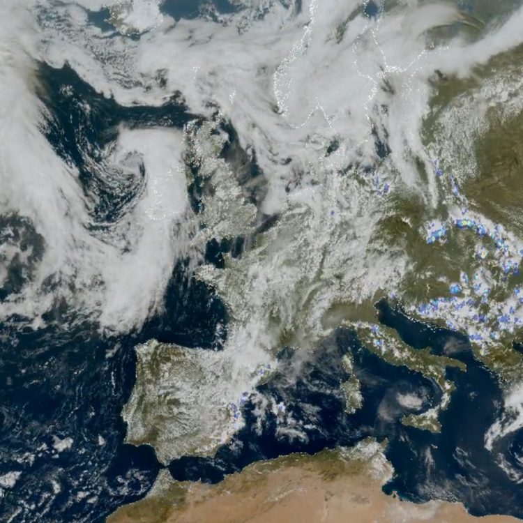
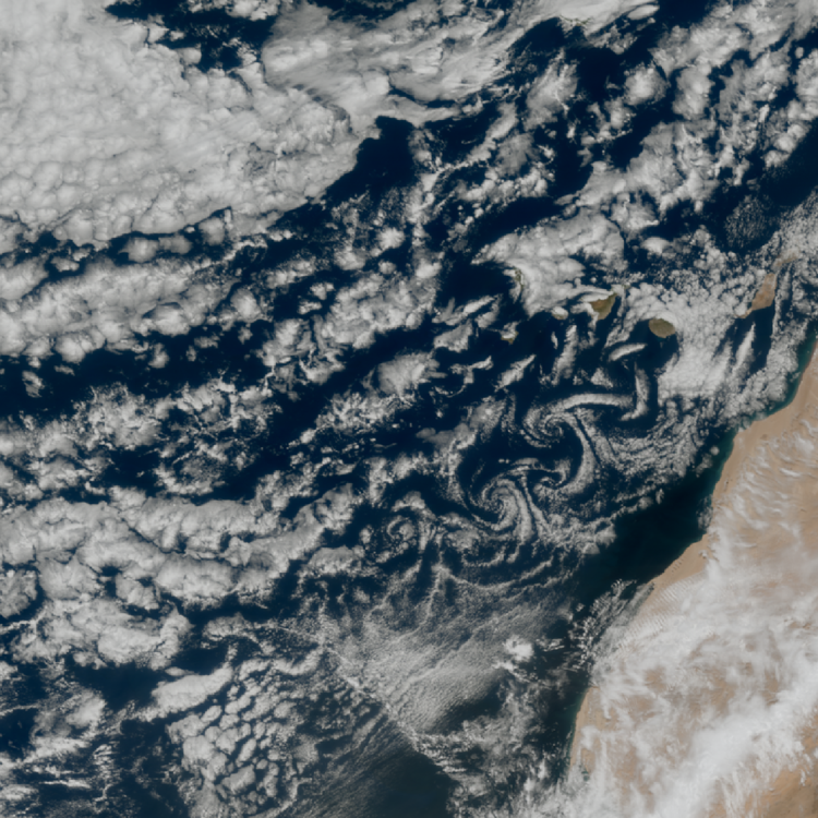
This image was captured by the imaging instruments on board weather satellites from Europe, US, China, and Japan. It shows infrared (IR 10.8) cloud data superimposed over NASA’s Blue Marble Next Generation ground maps.

More info

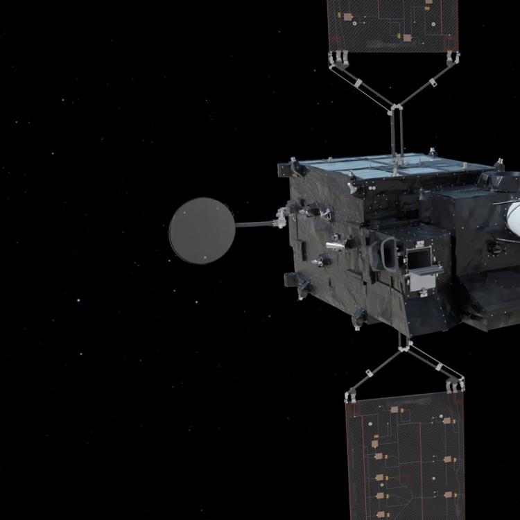
Learn more about Meteosat satellites

Visualise Meteosat-12 data with EUMETView

Access weather data from the EUMETSAT User Portal