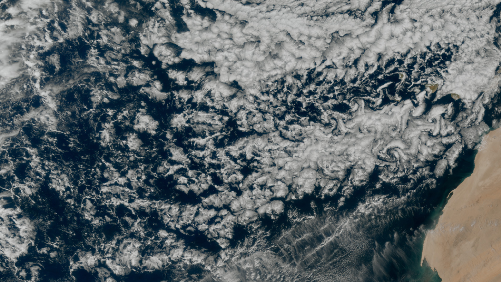
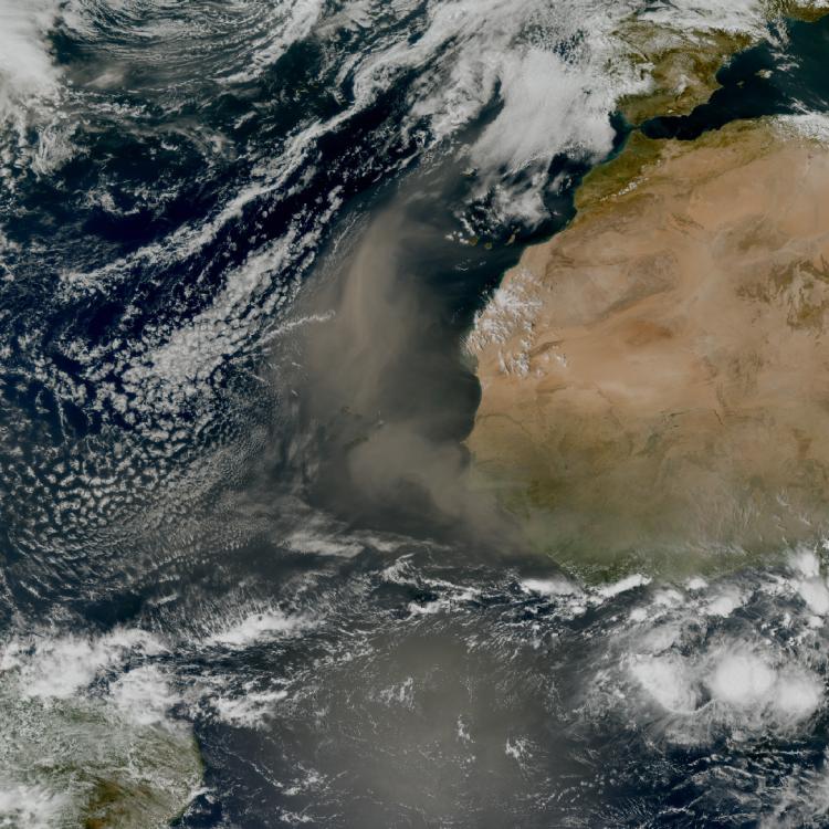
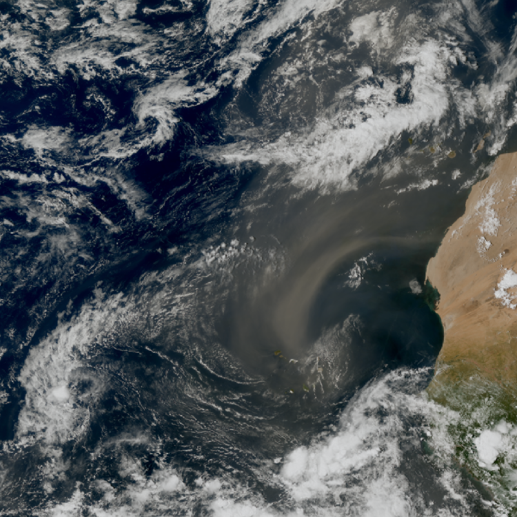
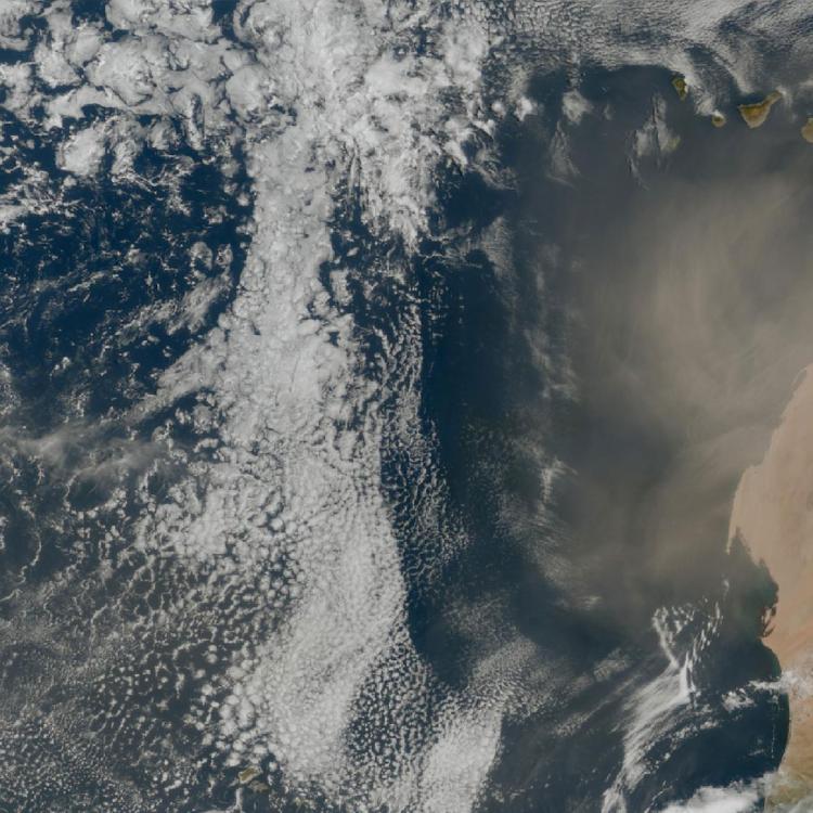
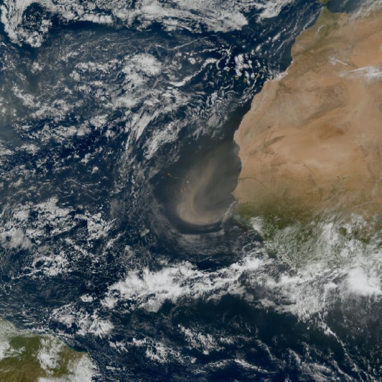
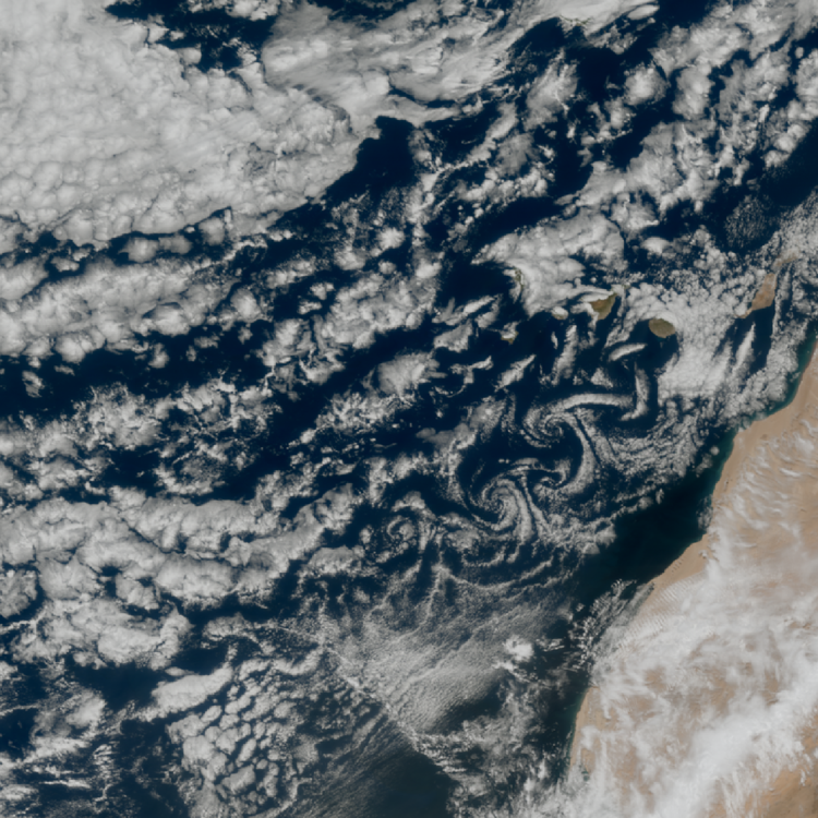
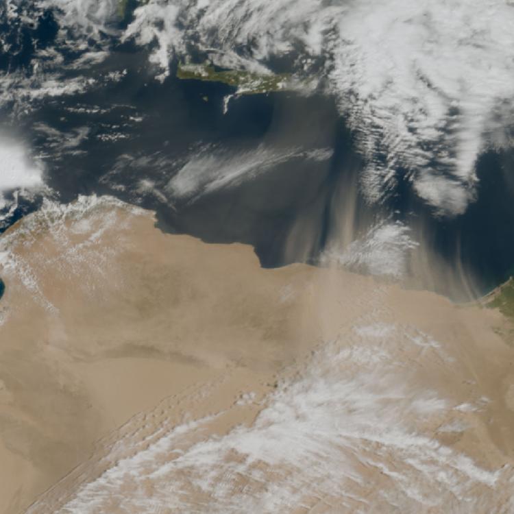
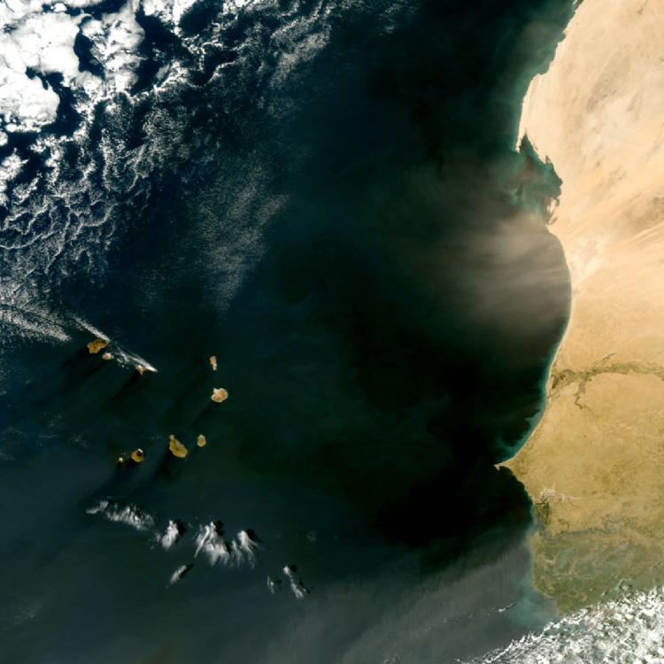
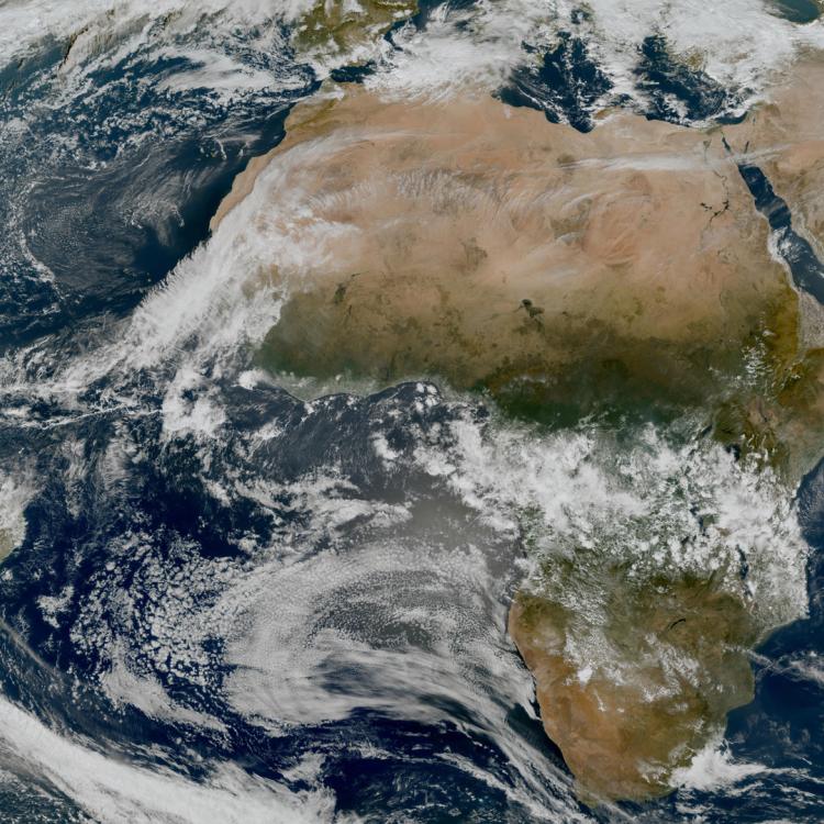
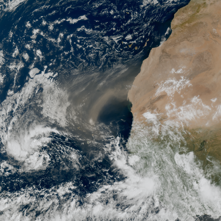
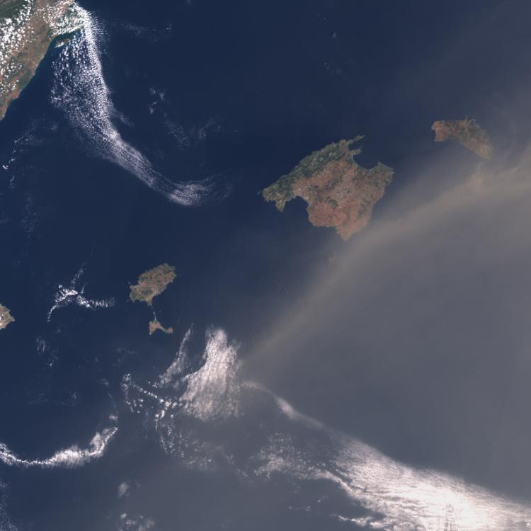
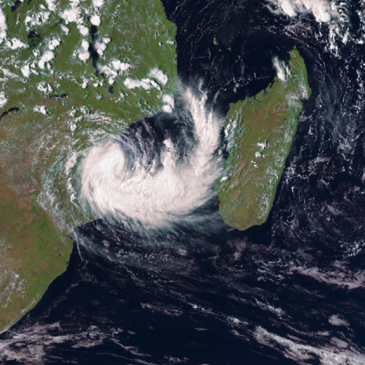
Image of the week: Swirling cloud patterns near the Canary islands
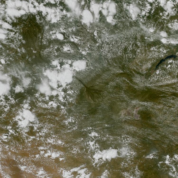
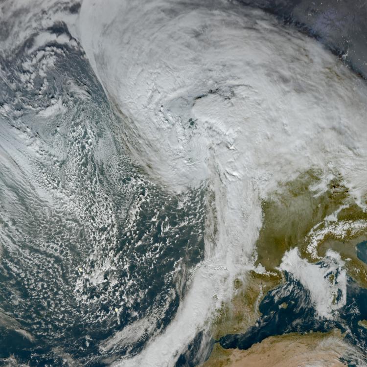
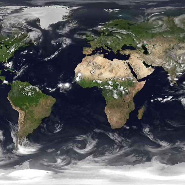
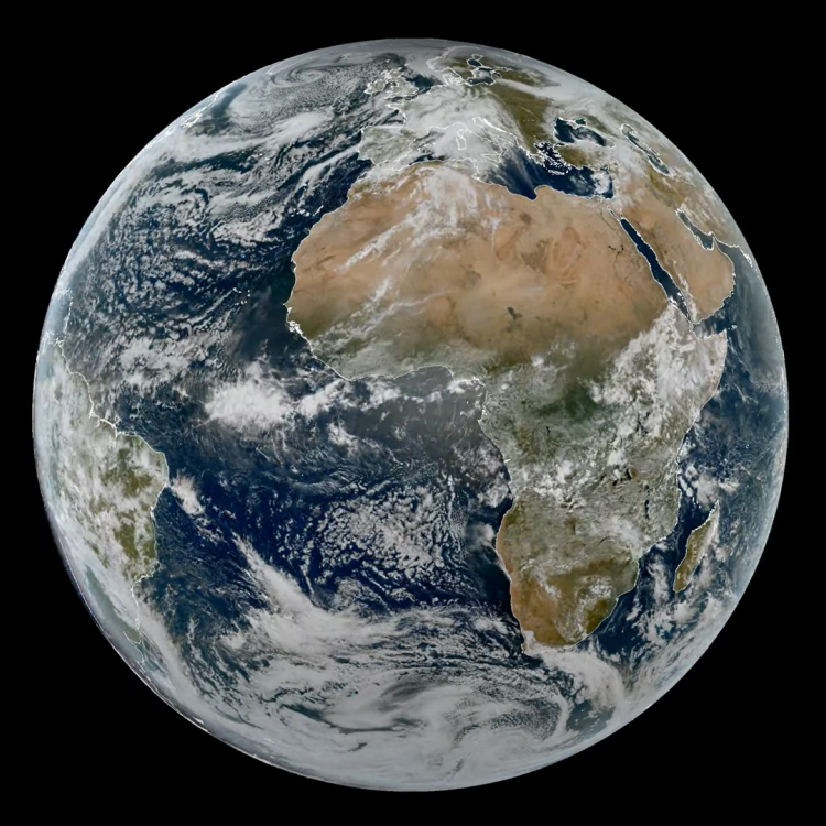
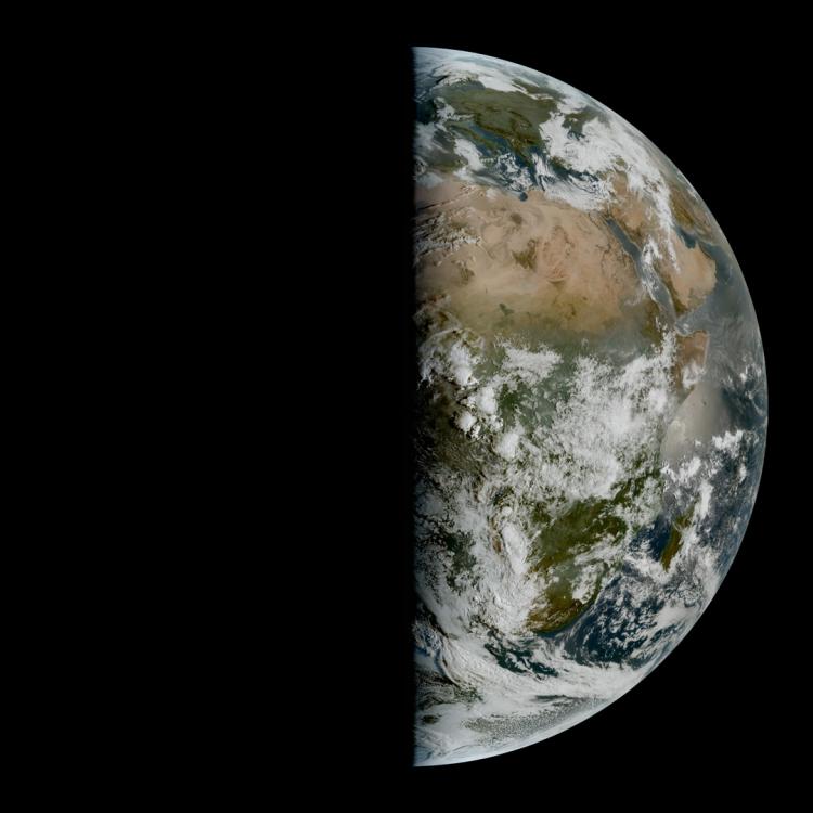
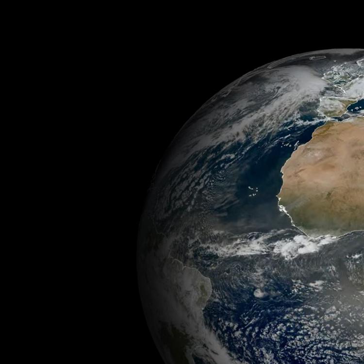
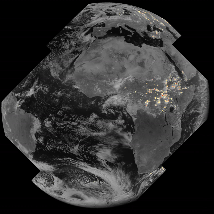
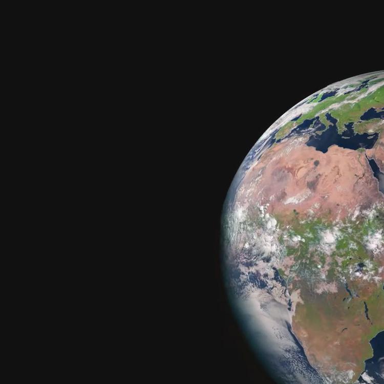
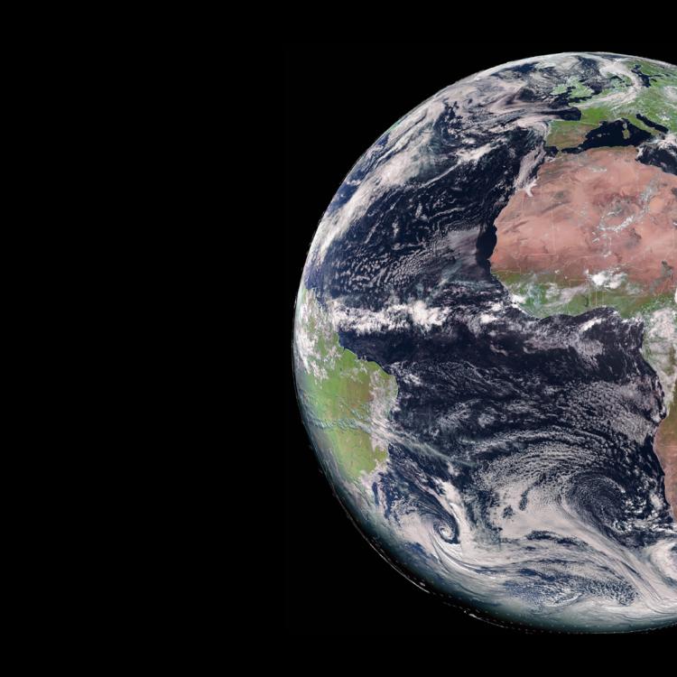
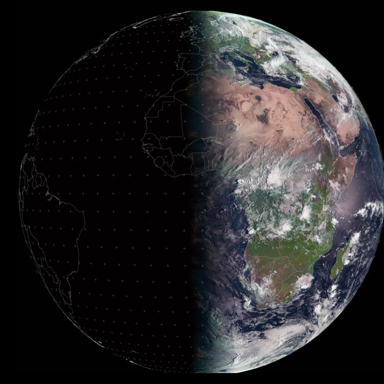
Watching our Earth from space

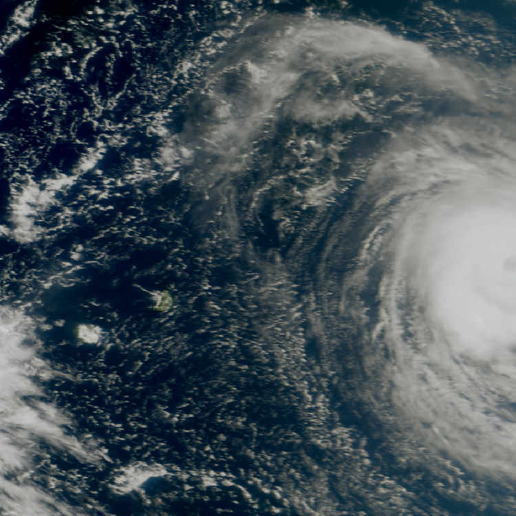
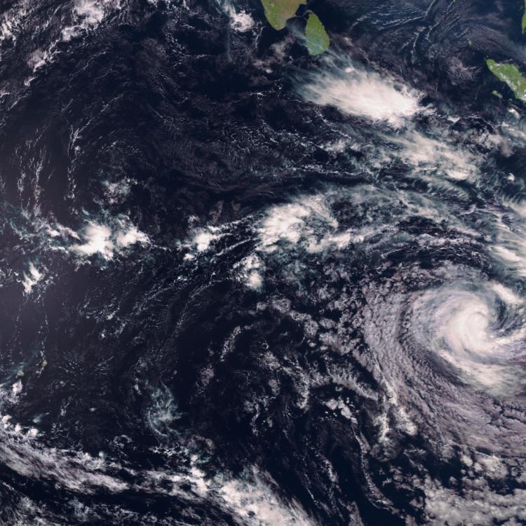
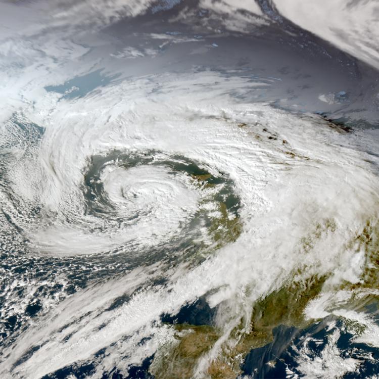
Von Kármán vortices image
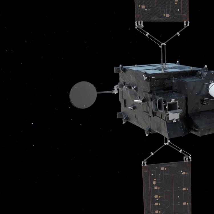
This image was captured by the FCI instrument onboard Meteosat-12 on 9 March 2026.
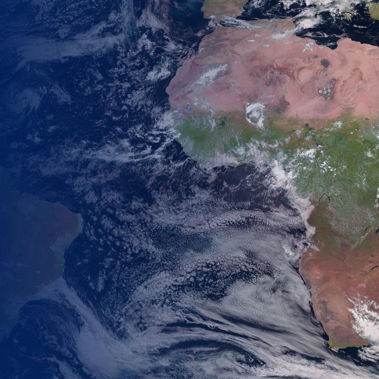
The Meteosat weather satellites provide imagery for the early detection of fast-developing severe weather, weather forecasting and climate monitoring.
More info
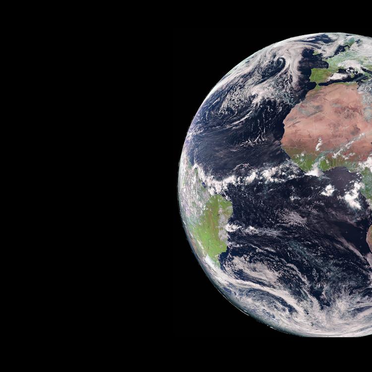
Spot cloud vortices from Meteosat-12 on our Earth view livestream
Access weather data from the EUMETSAT User Portal