Saharan dust, Meteosat-12, 15:00, 17 February 2026

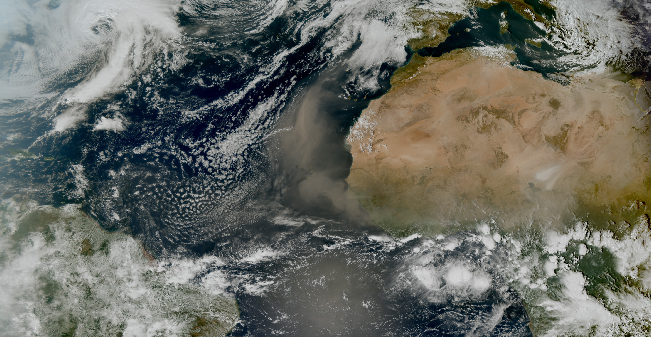
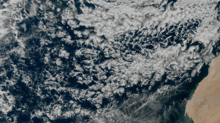
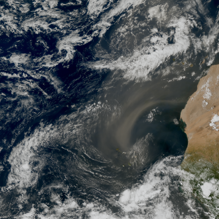
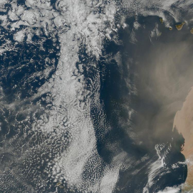
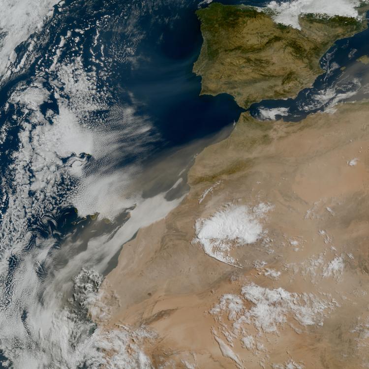
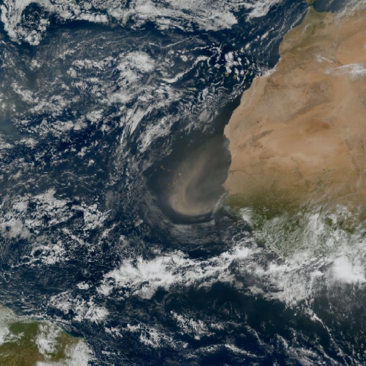
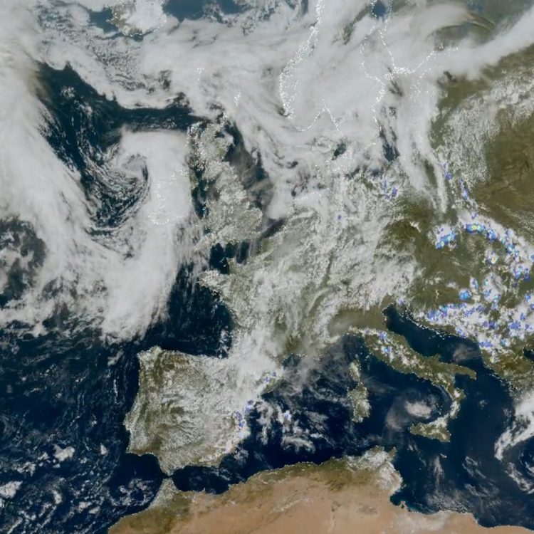
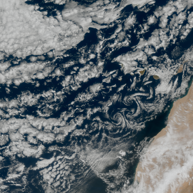
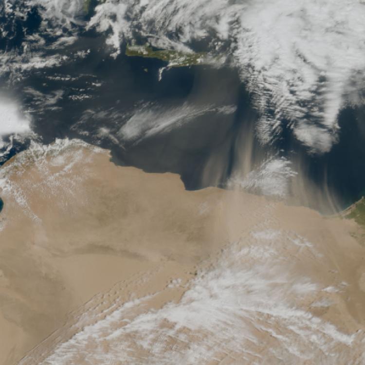
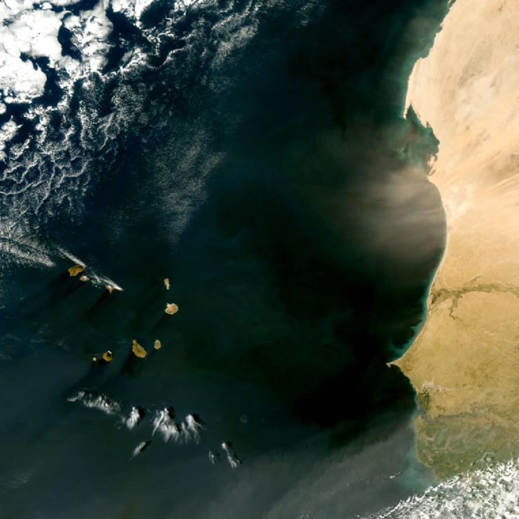
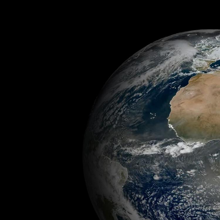
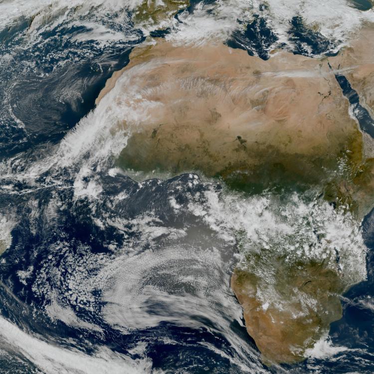
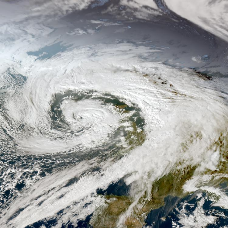
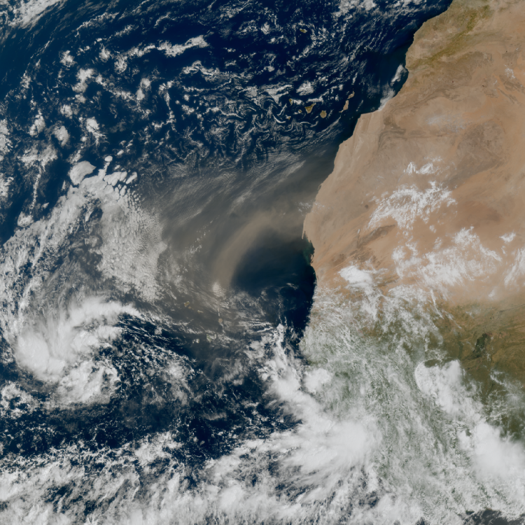
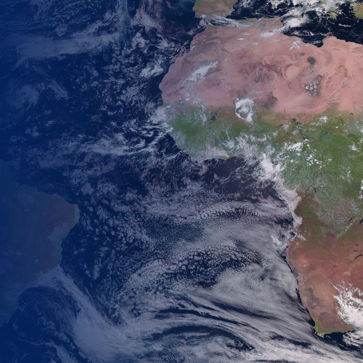
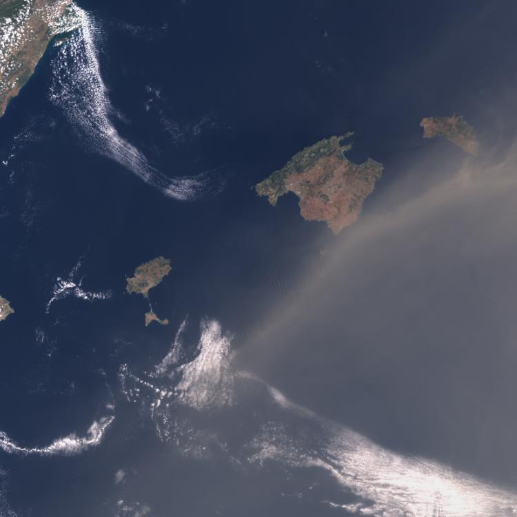
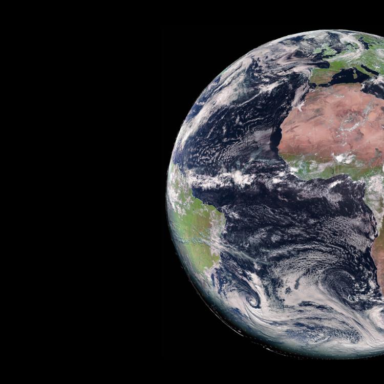
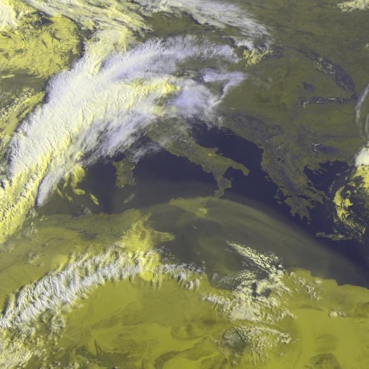
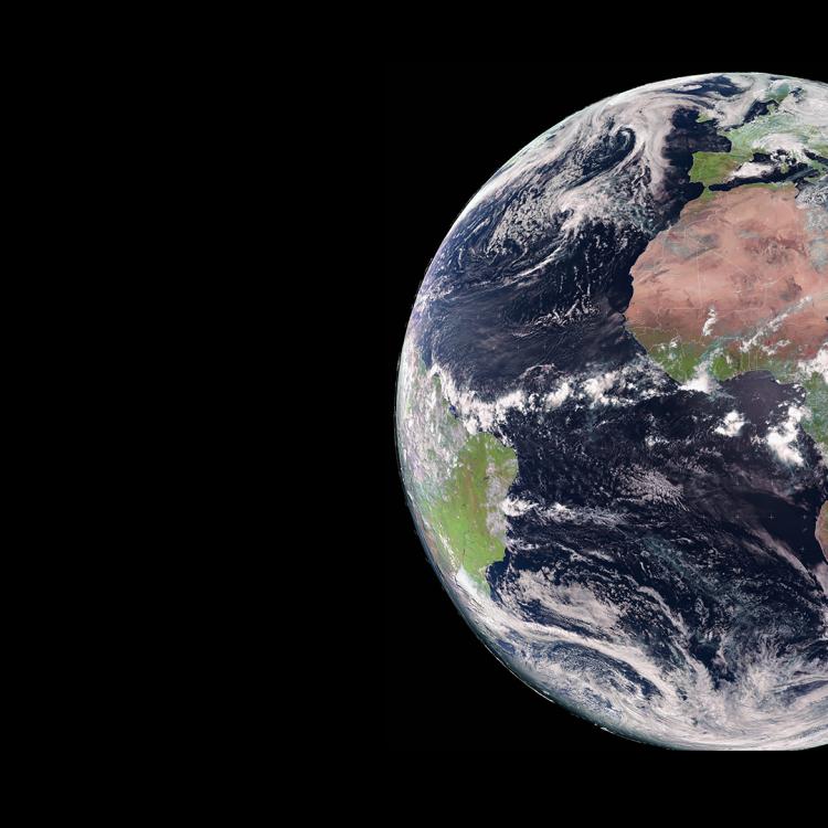
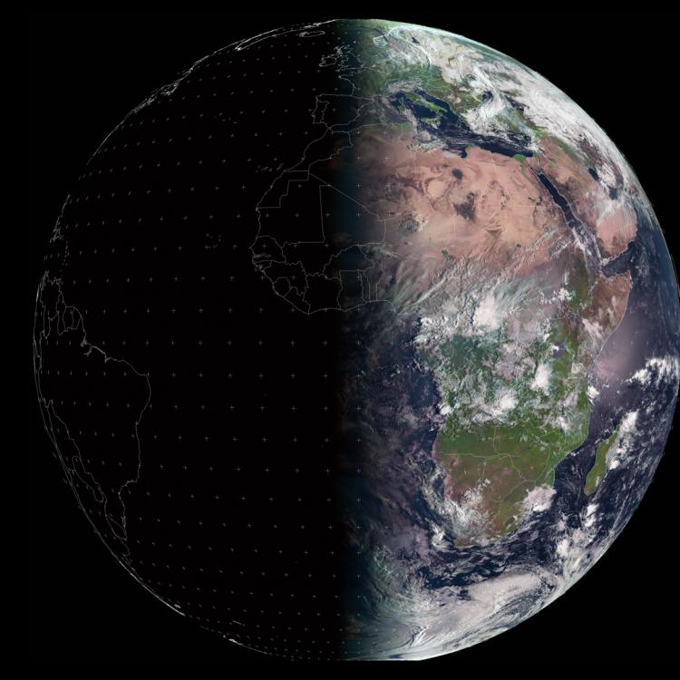
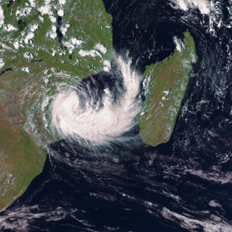
Image of the week: Dust cloud heads across the Atlantic Ocean


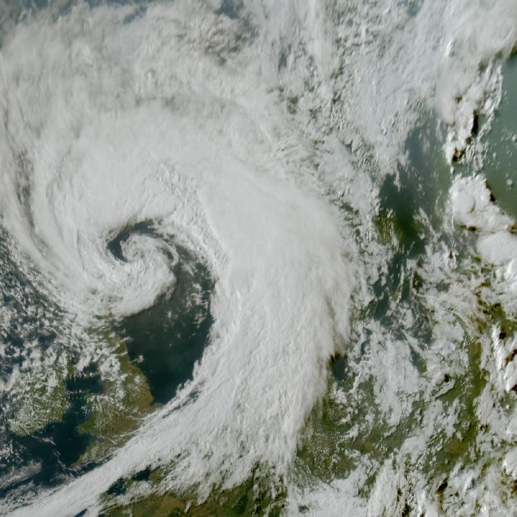
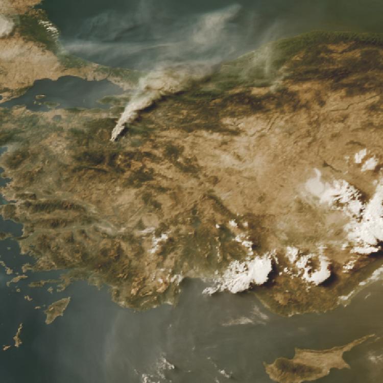
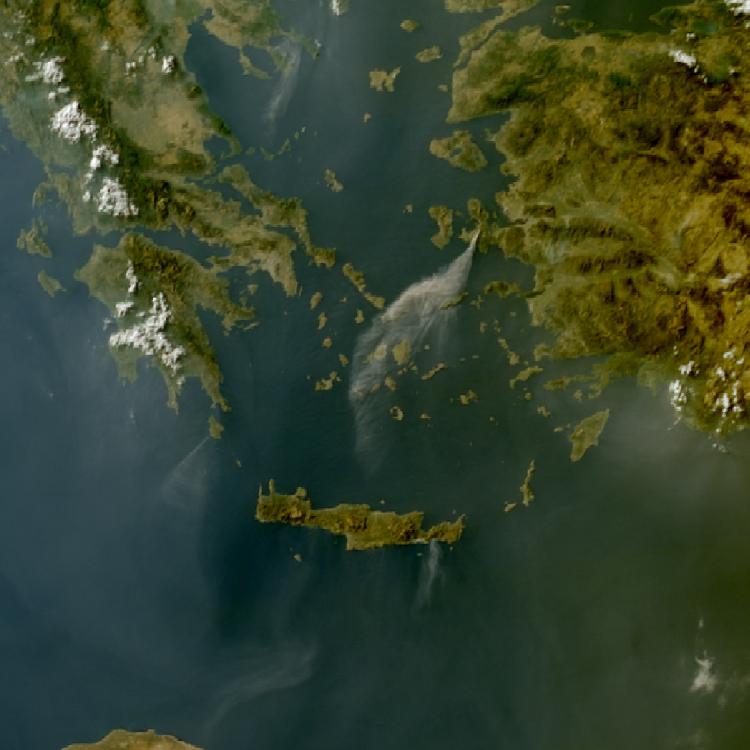
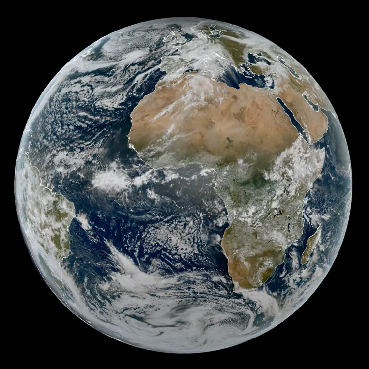
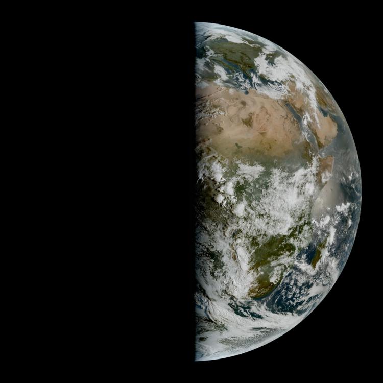
Watching our Earth from space

Saharan dust, Meteosat-12, 15:00, 17 February 2026

This week’s image is of Saharan dust moving west across the Atlantic Ocean, as seen from the Meteosat-12 geostationary weather satellite 36,000km above the Earth.

Last Updated

18 February 2026

Published on

18 February 2026

Saharan dust particles are lifted into the atmosphere by gusts of surface wind and can be transported and deposited thousands of kilometres away. 

When dust travels over populated areas, it can reduce air quality and impact health by causing respiratory problems and cause flight delays. 

Over the oceans, dust can act as a fertiliser, stimulating blooms of tiny marine plants (phytoplankton) that are the basis for the marine food chain.

The latest imagery from Meteosat-12 can be accessed on EUMETView.

Saharan dust, Meteosat-12, 15:00, 17 February 2026

Dust image

This image was captured by the FCI instrument onboard Meteosat-12 on 17 February 2026.

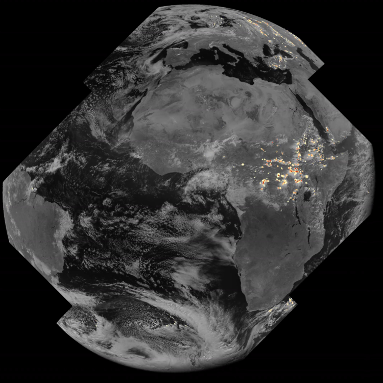
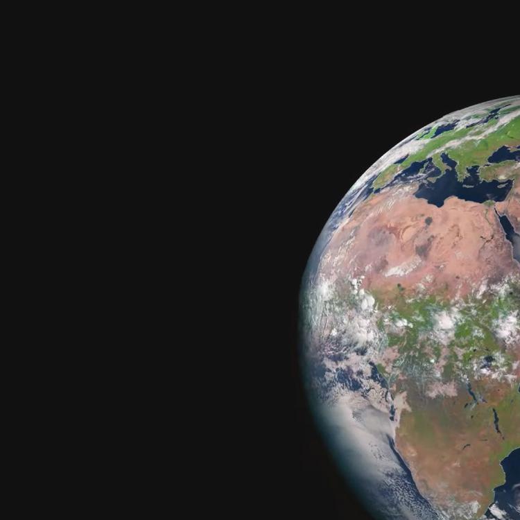
The Meteosat weather satellites provide imagery for the early detection of fast-developing severe weather, weather forecasting and climate monitoring.

More info

Access Meteosat-12 imagery

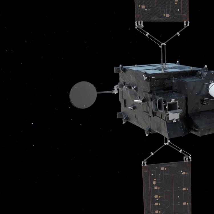
Learn more about Meteosat Third Generation satellites

Access atmospheric data from EUMETSAT User Portal

Learn more about monitoring dust and aerosols from space

Access the Copernicus atmosphere service

WMO Barcelona Dust Regional Center