Tropical cyclone Horacio, 08:10 23 February 2026

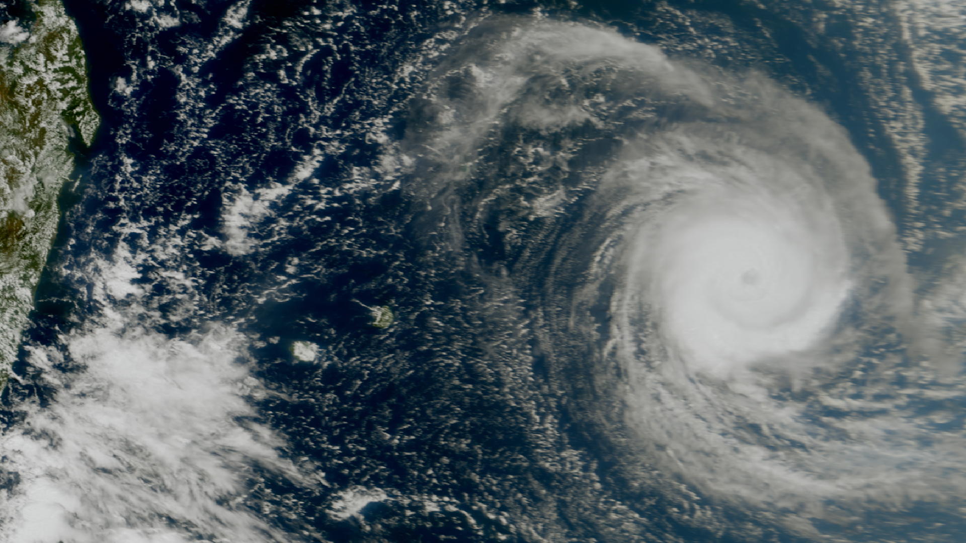
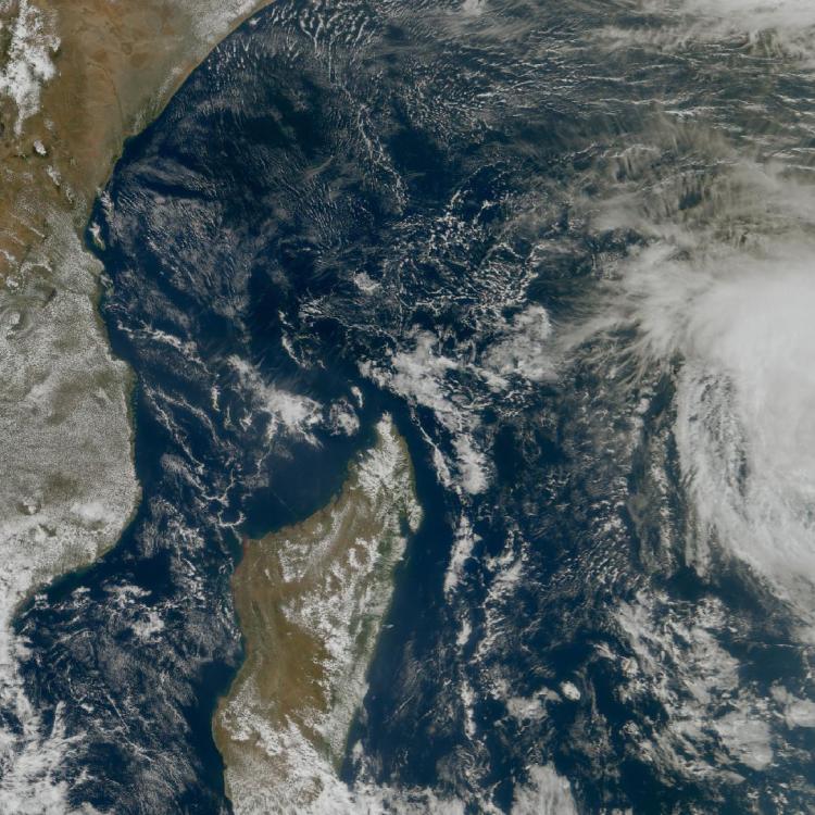
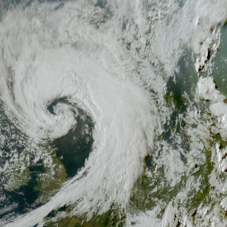
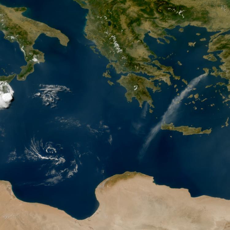
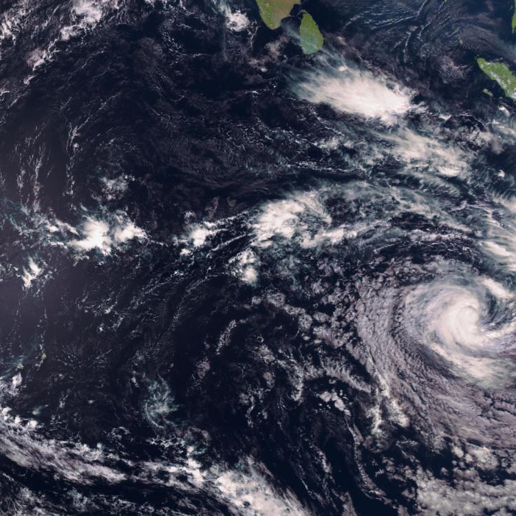
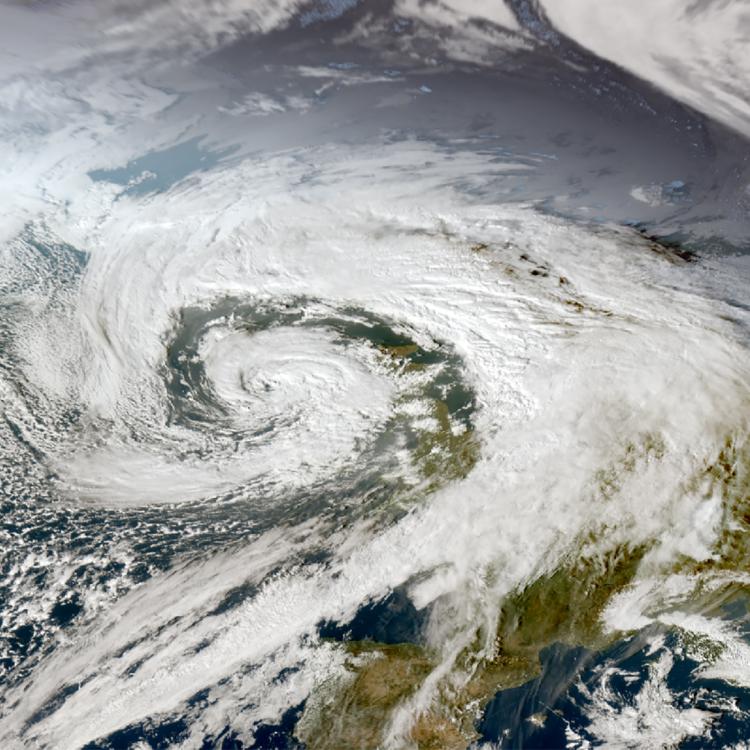
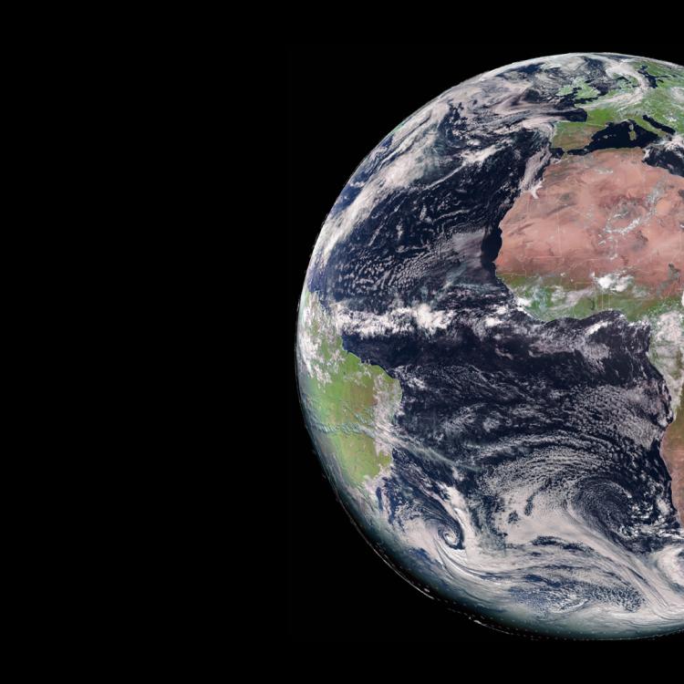
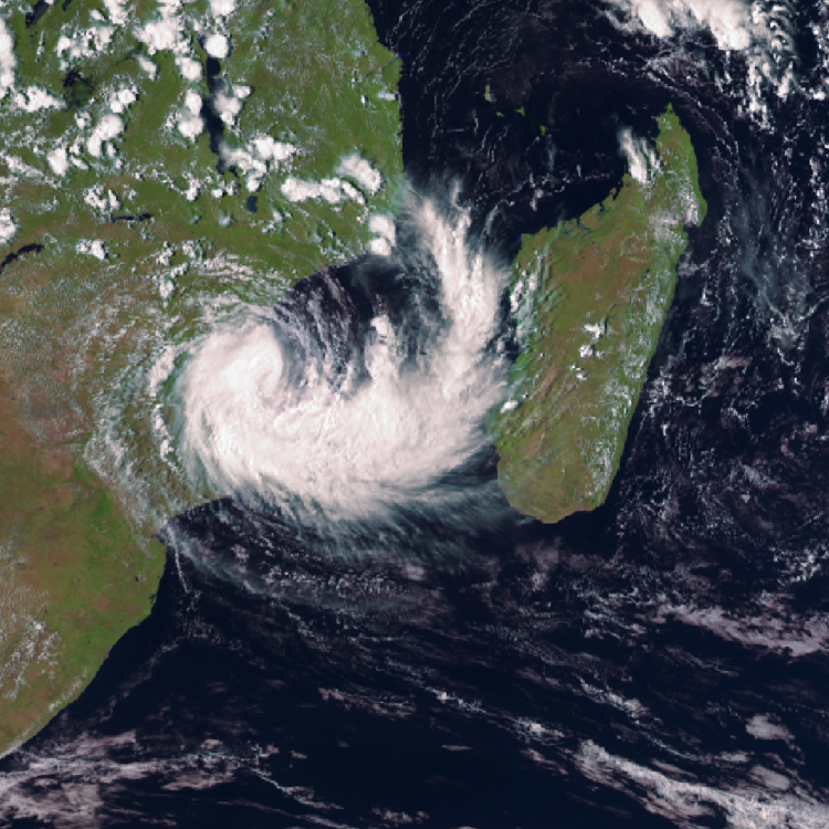
Image of the week: Cyclone Horacio


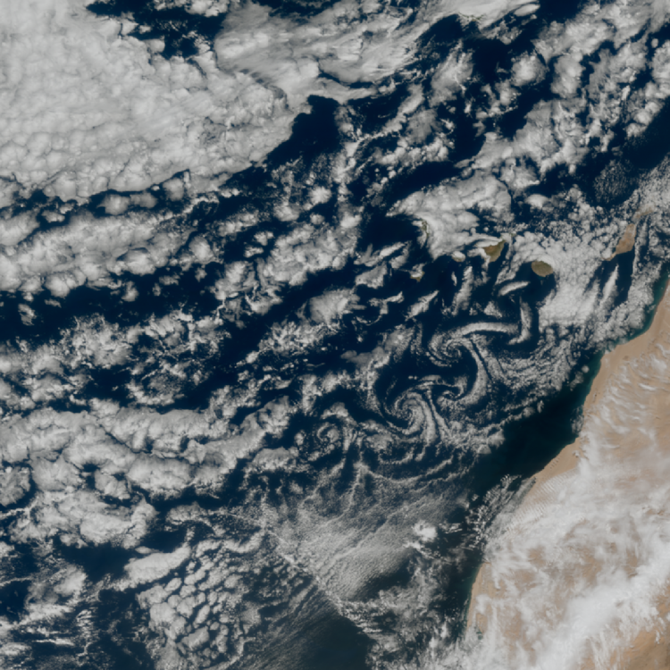
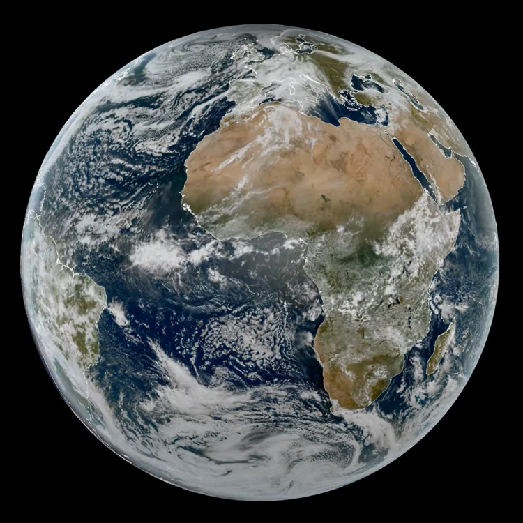
Watching our Earth from space
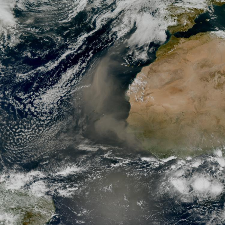
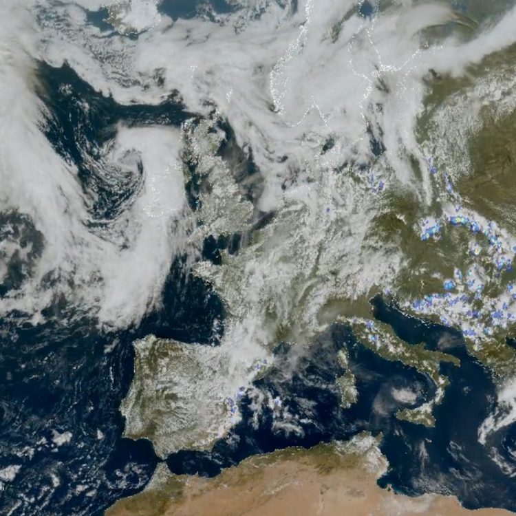
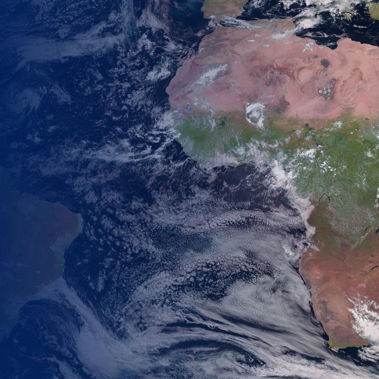
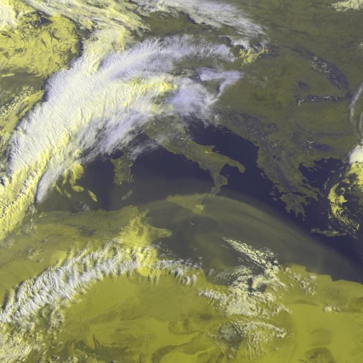
Tropical cyclone Horacio, 08:10 23 February 2026

This week’s image is of Cyclone Horacio. The image was captured on 23 February by the Meteosat-12 geostationary weather satellite, 36,000km above the Earth.

Last Updated

24 February 2026

Published on

24 February 2026

Cyclone Horacio is a powerful cyclone in the southern Indian Ocean with sustained winds estimated at 175 kmh (95 knots) and gusts of over 200kmh.

Situated far to the east of Madagascar the cyclone is expected to move south and weaken (24/02/26). 

The progression of the storm can be followed every ten minutes on EUMETView.

Tropical cyclone Horacio, 08:10 23 February 2026

Storm image

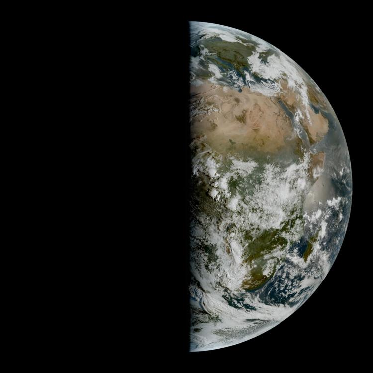
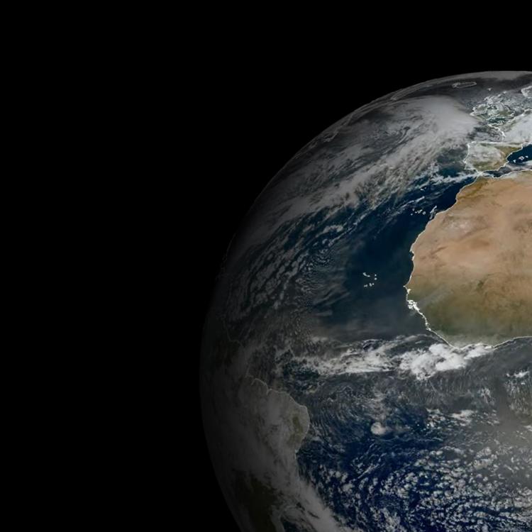
The main image was captured by the FCI instrument onboard the Meteosat-12 geostationary weather satellite on 23 February 2026.

The Meteosat weather satellites provide imagery for the early detection of fast-developing severe weather, weather forecasting and climate monitoring.

More info

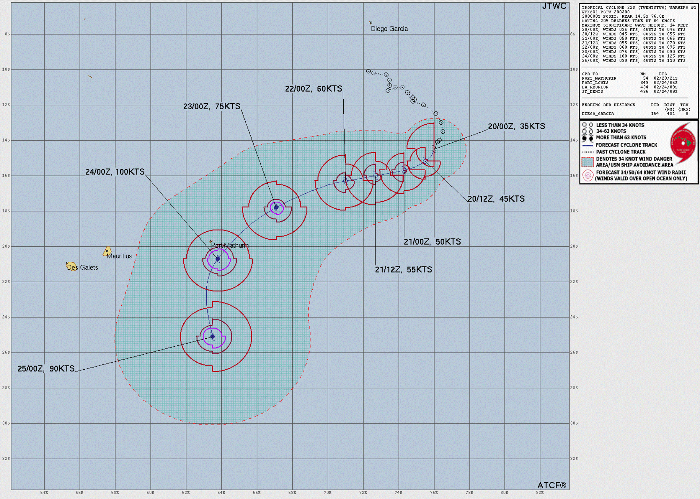
Track tropical cyclones in the Indian Ocean

Meteosat weather satellites and Earth view livestream

Monitoring tropical cyclones 

Access weather data from the EUMETSAT User Portal