
An “experiment” 28 years ago proves its worth

The “most successful ocean experiment of all time” began 28 years ago today, with the launch of the first joint European-US satellite designed to map ocean surface topography – TOPEX/Poseidon.
10 January 2023
10 August 2020
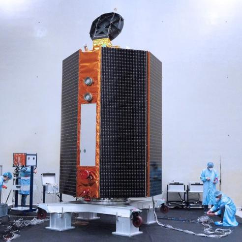
In exactly three months from today, the next chapter of this great experiment will unfold with the launch of Copernicus Sentinel-6 , TOPEX/Poseidon’s direct descendent.
In the interim, an unbroken record of data of unprecedented accuracy has improved understanding of the oceans and their impact on weather and our changing climate.

The benefits of these missions are profound and wide-ranging, from enabling earlier, more accurate warnings of cyclone paths, heat waves and droughts, to improving safety for seafarers, from aiding responses to environmental hazards to providing information needed to adapt to or mitigate the impact of rising sea levels.
Mapping the surface of the oceans
TOPEX/Poseidon, a joint project involving the US space agency NASA and the French space agency CNES , was a mission designed to measure the surface height of the oceans for three years.
In fact, the mission lasted more than 13 years, during which it is credited with not only measuring sea level to a degree of accuracy of 3.3cm, but also with greatly advancing understanding of ocean circulation and its impact on climate and weather.
For the first time, global tides and seasonal changes in currents were observed. The El Niño and La Niña phenomena – changes in the heat of the Pacific Ocean that impact rainfall in South America and Australia and seasonal temperature in Europe, among other effects – could be studied and forecast.
“Together with the contemporaneous European Space Agency altimeter missions ERS-1 and ERS-2 , TOPEX/Poseidon laid the ground work for satellite oceanography,” EUMETSAT Remote Sensing Scientist Dr Remko Scharroo said.
“Whereas oceanographers could previously only rely on their models and scattered bits of ship-borne and coastal observations, suddenly every 10 days about 90% of the global oceans could be covered with measurements.
“This propelled a whole new branch of science.”

The oceans’ influence on weather
Seasonal forecasts associated with phenomena like El Niño are used to predict the likelihood of drought or active cyclone seasons, severe or mild winters and summers, and rely on models using observations of the atmosphere and the oceans.
And there is increasing evidence that short-range forecasting of high-impact weather influenced by the ocean can only improve with the use of models that couple measurements of both of these components of the Earth system.
In the medium range, to forecast in days or weeks ahead the trajectory and intensity of cyclones or heat waves in Europe, for example, these coupled models require accurate altimeter measurements of sea surface height.
Tracking the footprint of climate change
Mean sea level rise is the footprint of climate change.
The Earth’s mean sea level rises at typical rates of a few millimetres per year but varies in location and time.
To detect the impact of climate change, homogenous data collected over a long time period are required.
TOPEX/Poseidon began a unique data record of mean sea level rise that was continued by the Jason series of high-precision altimetry missions and will be carried on until at least 2030 by two successive Sentinel-6 missions.
This record is accurate and reliable not only because of the high performance of the satellites’ payload instruments but also because they fly the same orbit.
“Keeping the same orbit allows a ‘tandem mission’ between consecutive missions, with the satellites flying only about 30 seconds apart,” Scharroo explained.
“This allows for very accurate cross-calibration to better than 1mm, aiming to achieve a time series of global mean sea level from which the rate of change can be determined to better than 1mm per year.”
Taking the TOPEX/Poseidon experiment forward
The close cooperation between Europe and the United States that underpinned the TOPEX/Poseidon mission has developed and grown over the past 30 years.
CNES and NASA cooperated again on the follow-up mission to TOPEX/Poseidon, Jason-1 , which was launched in 2001.
EUMETSAT and the US’s National Oceanic and Atmospheric Administration (NOAA) became involved when the mission became operational with Jason-2 (launched in 2008) and the European Commission became involved with Jason-3 (launched in 2016).
The Copernicus Sentinel-6 mission, which involves two identical spacecraft to be launched five years apart, involves NASA, NOAA, EUMETSAT, the European Commission, and the European Space Agency, with support from CNES.
Each partner agency provides its particular expertise and all contribute to achieving the overall performance required to continue to deliver this crucial data to users worldwide.
