


Looking back over a year of weather
We’ve just published our annual “Year of Weather” video for 2019 and once again, many significant weather events took place across the globe.

The fascinating EUMETSAT 2018 Year of Weather video has now been published.

18 May 2022
01 March 2019
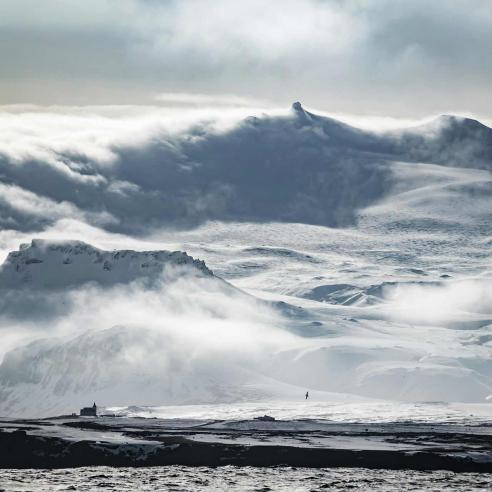
January kicked off with two powerful cyclones and activity did not slow down as the months went by. In fact, weather records continued to be broken throughout the year and there was a little bit of everything in 2018 including droughts, fires, floods and hurricanes.
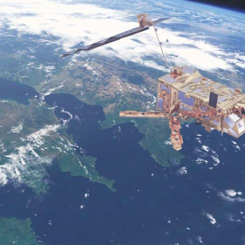
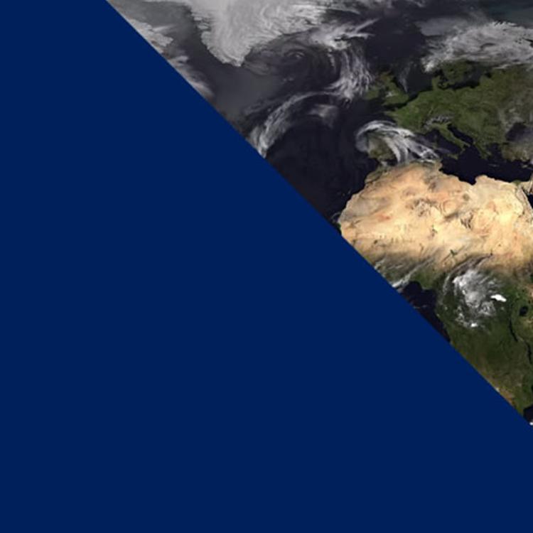
EUMETSAT receives this satellite imagery every 30 minutes which means we have access to a very large amount of data that we're able to provide freely to weather forecasters, so that they can provide more accurate and recent information. You can see clearly in this video where certain storms formed and how they travelled across different parts of the planet and this data is crucial for met services to be able to issue warnings to the public that might help lessen the lives lost or damage caused to property in, for example, the case of a severe storm.
During the animation you'll be hearing from EUMETSAT Training Manager Dr Mark Higgins, who provides an explanation into what you're seeing on screen. Find out how sea surface temperature affects a hurricane's energy and why bright clouds indicate colder weather in this 10-minute video.
The footage is composed with the help of a satellite infrared data layer provided by Météo-France – Centre de Météorologie Spatiale and displays imagery from the geostationary satellites of EUMETSAT, the National Ocean and Atmospheric Administration (NOAA) in the US, the China Meteorological Administration (CMA) and the Japan Meteorological Agency (JMA).
You can also watch this and previous Year of Weather videos over on our YouTube channel.