Meteosat Third Generation
MTG - one of the most innovative geostationary meteorological satellite systems ever built.

Earth’s (cloudy) beauty revealed like never before


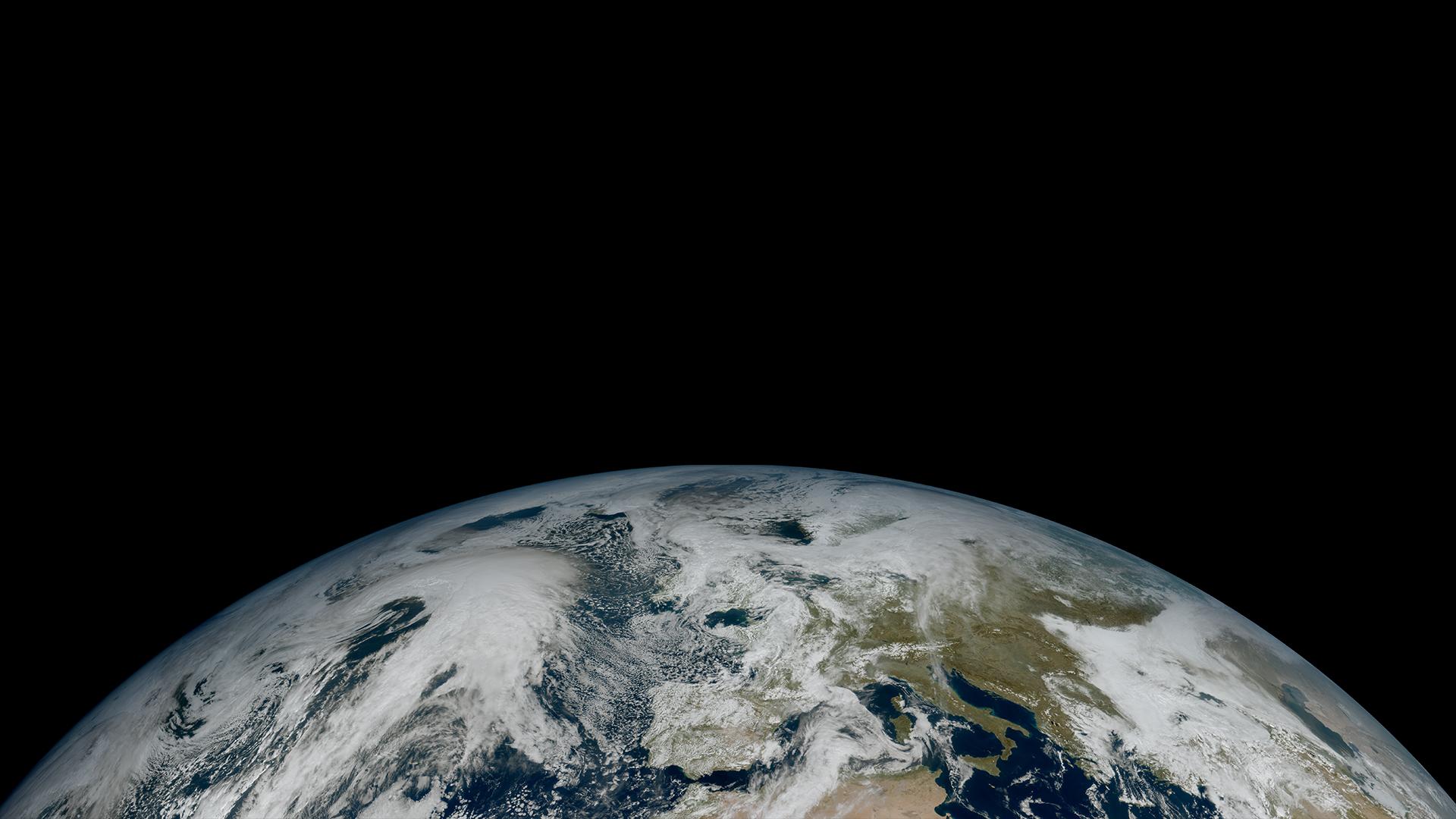
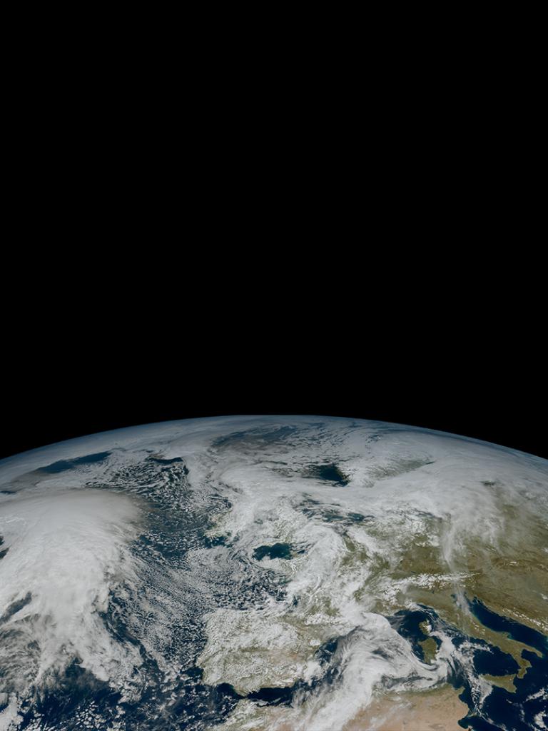
The first image from Meteosat Third Generation – Imager 1 (MTG-I1) reveals a level of detail about the weather over Europe and Africa not previously possible from 36,000km above the Earth. The higher-resolution images provided by the instruments on board give weather forecasters more information about the clouds cloaking much of Europe and visible in the equatorial region of Africa and the Atlantic Ocean. Sand and sediment in the waters off Italy are also visible, as well as dust or smog being carried from south Asia. This degree of detail is not possible from the instruments on the Meteosat Second Generation satellites. The image was captured at 11:50 UTC on 18 March 2023 by the Flexible Combined Imager on MTG-I1.
By comparison, this image, taken at 11:45 UTC on 18 March 2023 by the SEVIRI instrument on Meteosat-11 (a Meteosat Second Generation satellite), provides noticeably less information than MTG-I1’s. The SEVIRI instrument has fewer channels than the Flexible Combined Imager, and provides an image of Europe and Africa every 15 minutes, compared to every 10 minutes from the MTG satellite. The bluish cast to areas of snow and high ice clouds is due to the SEVIRI instrument having fewer channels. The processed data from SEVIRI is less able to match the colours seen by the human eye.
A “zoom in” on Europe taken from MTG-I1’s first image shows beautiful cloud features such as the “cloud streets” over the Greek Islands created by wind, the so-called Von Karman vortices – also created by wind – downstream of the Canary Islands, and cumulus cloud fields over the Libyan coast. The snow on the Alps and in Norway is also visible in greater detail than is possible to ascertain from the imaging instruments on Meteosat Second Generation satellites. The extra channels of MTG-I1’s Flexible Combined Imager, 16 compared to 12 on the MSG SEVIRI instruments, not only produce better true colour imagery, but will also be useful to better detect dust, haze, smoke, cloud properties and wildfires, among others.
The same “zoomed in” image, taken by the imager on a Meteosat Second Generation satellite, clearly shows how the new technology on MTG-I1 provides weather forecasters with more crucial information about the state of the weather.
This stunning view of Europe, taken from MTG-I1’s first image at 11:50 UTC on 18 March 2023, shows the benefit of the extra channels of the satellite’s Flexible Combined Imager instrument. Greater detail about cloud structures, coupled with the fact imagery will be produced more frequently, will enable weather forecasters to monitor and predict rapidly developing severe weather events more accurately and quickly.
By comparison, the same view provided by a Meteosat Second Generation instrument at 11:45 UTC on 18 March 2023, shows fewer details, particularly in relation to clouds over Nordic countries.
The higher resolution of the imaging instrument on MTG-I1 provides information that MSG satellites could not deliver. The information is crucial for understanding the weather and climate. Visible in this “zoomed in” view of the Mediterranean is turbidity in coastal waters and snow on the Alps, the Apennine Mountains and the Dinaric Alps, as well as more detail about the cloud structures in the image. Some of these features are not visible in the same view taken at almost the same time by the imager on the MSG satellite, or not visible with the same amount of detail. The image was taken by the Flexible Combined Imager on MTG-I1 at 11:50 UTC on 18 March 2023.
The same view, taken by the SEVIRI imager on Meteosat-11, a Meteosat Second Generation satellite, at 11:45 UTC on 18 March 2023, does not detect turbidity of coastal waters or the same degree of detail about the snow and clouds visible in the image from MTG-I1.
To download all the images and animations above in high resolution please visit our image database.
This colourful and spectacular animation of convective storms developing in the Gulf of Guinea demonstrates the value of Europe’s news and most advanced meteorological satellite, MTG-I1. The imagery was produced from two channels (IR10.5 and VIS0.6 micron channels) of MTG-I1’s Flexible Combined Imager instrument on 19 March from 05:15 UTC. The colours represent the temperatures of the cloud tops, with dark red shades being the coldest. Combining the two channels allows forecasters to see the thermal characteristics of the clouds and the three-dimensional structure of the storm tops.
This beautiful animation shows so-called von Kármán vortices over the Canary Islands. Named for the brilliant Hungarian-American mathematician, physicist and aerospace engineer Theodore von Kármán, the vortex “street” is created by the flow of air over obstacles, in this case, the Canary Islands, when a cloud layer is present at a certain altitude. The vortex street consists of cumulus clouds which are nicely seen in this animation produced in true colour from the Flexible Combined Imager on MTG-I1 from 11:50 UTC on 18 March to 11:50 19 March 2023.
The value of EUMETSAT’s newest and most-advanced meteorological satellite, MTG-I1, for monitoring and predicting storms is immense, but its value doesn’t end there! MTG-I1’s Flexible Combined Imager is also invaluable for monitoring wildfires, as this animation shows. In it, fires in central Africa and their smoke plumes can be seen with more detail about their scale and intensity than has been possible from geostationary orbit up until now. The animation was created from imagery taken between 11:50 UTC on 18 March 2023 and 11:50 UTC 19 March 2023.