Forecasting at storm speed across Africa
A new African Meteorological Satellite Application Facility will help forecasters turn satellite data into timely warnings
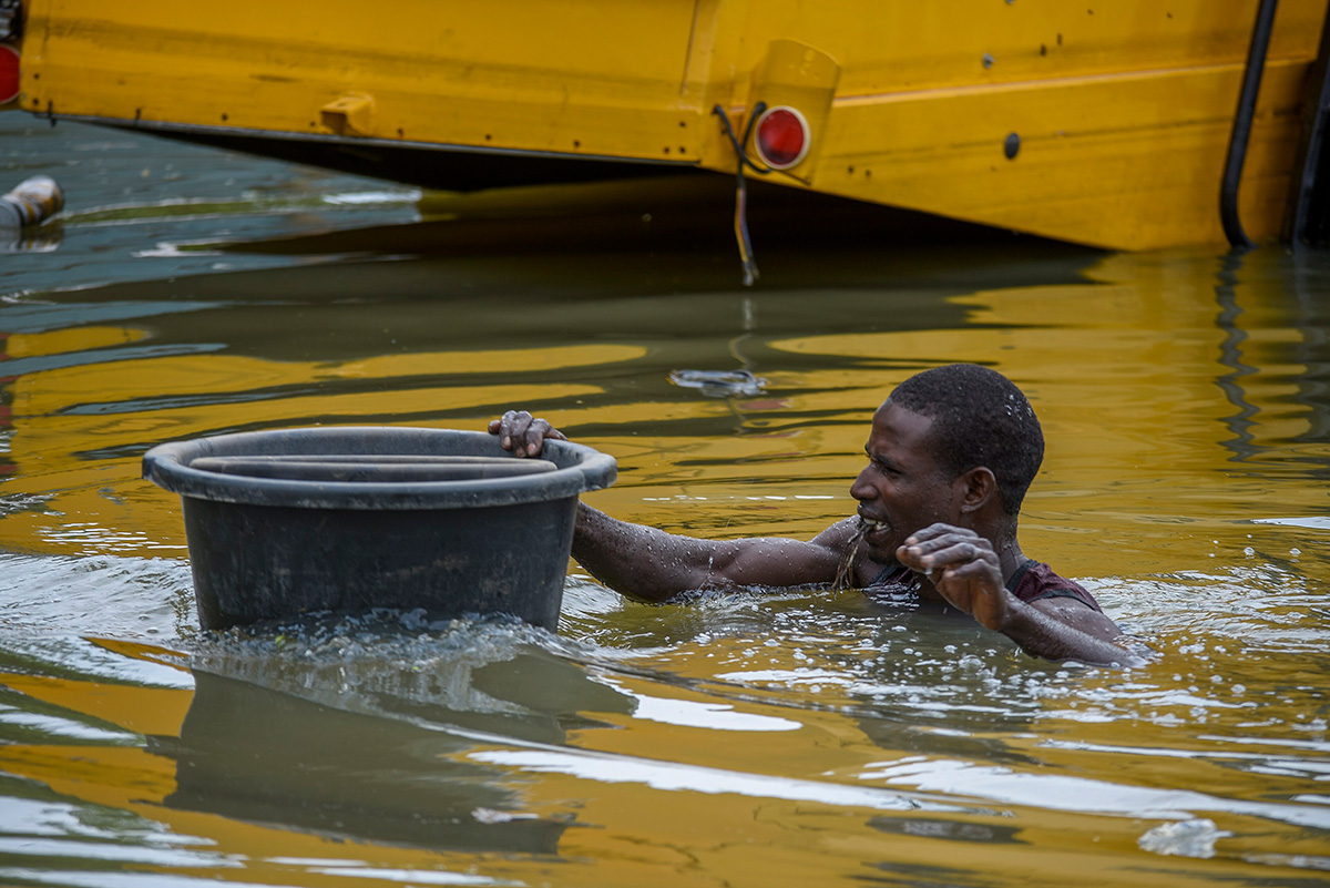
In September and October 2024, torrential rains brought devastating floods across West and Central Africa at the end of a rainy season in which more than 1,500 people lost their lives in countries including Nigeria, Niger, Chad, Mali, Cameroon and Senegal. Hundreds of thousands of homes were damaged or destroyed, critical services such as health care and schools severely disrupted, and agricultural production hit hard during the critical harvest window.
18 May 2026
18 May 2026
In Senegal, flooding impacted both urban and rural communities, creating major challenges for response teams. In the country’s north and east, the Senegal and Gambia rivers, swollen by the rains and upstream dam releases, overtopped their banks, submerging towns and farmland. More than 70,000 people were affected, over 1,000 hectares of crops damaged, and the army was mobilised to evacuate residents and livestock.
In Touba, Senegal's second largest city, the rains hit hardest on the night of 16-17 September, when the National Agency for Civil Aviation and Meteorology (ANACIM) recorded 140 millimetres of rainfall in four hours. The downpour collapsed buildings, killed a young girl and a shopkeeper, and rendered many roads impassable, particularly in low-lying neighbourhoods such as Fora and Darou Marnane. The flooding affected more than 11,000 households, forcing thousands from their homes and closing 130 schools across the wider Diourbel region.
“Floods present dangers on many different levels,” says Abdoulaye Diouf, head of forecasting and risk reduction services at ANACIM, and who is also the focal point for Senegal on the Strengthening Early Warning in Africa project under the Africa-European Union (EU) Space Partnership Programme, a flagship of the EU Global Gateway initiative. “In cities and other urban areas, sudden, intense rainfall can overwhelm drainage, destroy housing, cut transport links and disrupt daily markets that residents depend on every day.
“In rural areas, along the rivers, flood conditions can build over hours or days. Warnings have to reach farms and rural communities in time to move livestock, harvests and people.
“Flooding is also a major cause of widespread health risks, including outbreaks of diseases such as cholera and malaria.”
About the African Meteorological Satellite Application Facility (AMSAF)
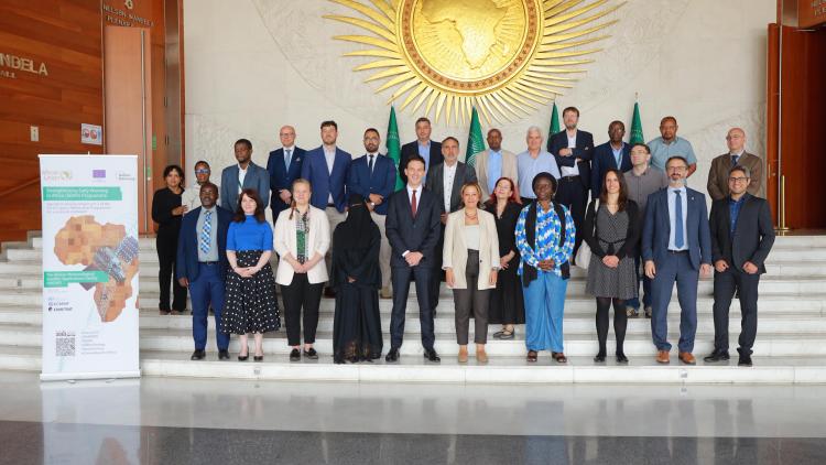
The AMSAF was launched by the African Union Commission (AUC), with EUMETSAT supporting the technical establishment under the EU-funded Strengthening Early Warning in Africa (SEWA) project. SEWA is jointly implemented by the AUC, EUMETSAT and the European Centre for Medium-Range Weather Forecasts (ECMWF) under the EU’s Global Gateway. The AMSAF draws on experience from EUMETSAT’s Satellite Application Facilities in Europe, which bring together leading specialists across countries, while being tailored to the specific needs and priorities of African centres.
The United Nations says storms have become more frequent and floods more severe across West Africa since the early 2000s, with global heating, deforestation and land use change heightening impacts. Diouf says the new African Meteorological Satellite Application Facility (AMSAF), launched in Addis Ababa, Ethiopia, on 18 May 2026, will support national weather services in Africa by developing dedicated nowcasting products that forecasters can use to issue faster, more accurate warnings.
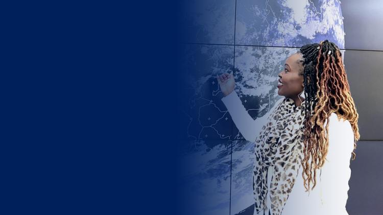
“Nowcasting – predicting what the weather will do over the next few minutes to a few hours – is crucial for anticipating floods because convective systems can bring heavy rain and major damage over very short time periods,” Diouf says. “Near-real-time satellite images from the new Meteosat Third Generation (MTG) satellites help detail the weather systems that can cause these conditions, and one of the AMSAF’s objectives is to develop products that help forecasters in Africa maximise the potential of these data in detailing fast-evolving weather.”
A continent-wide nowcasting hub
The AMSAF is formed through a network of regional centres that will produce nowcasting products tailored to the needs of national meteorological services. ANACIM is the Regional Specialised Meteorological Centre for Western Africa that will provide nowcasting products as part of the project.
“The AMSAF will help us do much stronger nowcasting,” Diouf says. “Africa's weather is hugely varied, with monsoons, convection, tropical cyclones, frontal systems and droughts impacting each region in different ways. With each centre focused on its own region, we can produce nowcasts that better account for local conditions.
“Across the continent we also face shared challenges, from floods and storms to dust storms and their associated risks to health, agriculture and infrastructure. By working together and sharing products, methods and experience across the centres, we can produce better nowcasts from a few minutes up to six hours ahead, the window where convective storms develop too fast and at too local a scale for longer-term numerical weather prediction models to predict reliably.”
MTG data and the tools EUMETSAT distributes alongside them are already making a real difference, Diouf says, and the AMSAF will take this further by developing regionally tailored nowcasting products.
Credit: EUMETSAT
“Using MTG data forecasters can now see fine-scale features of convective clouds that we could not distinguish with previous satellites. For example, ‘popcorn’ cloud features in MTG imagery can be an indication of strong convective development and possibly severe storms hitting within the hour.
“The lightning data from the new MTG Lightning Imager, the first such instrument observing Africa from geostationary orbit, are also invaluable. During the rainy season, they are critical both for alerting communities to extreme weather and for warning where people may be at risk of lightning strikes.
“The AMSAF is another key step in helping forecasters make the best use of these data. For example, nowcasts feed into impact-based forecasting, which translates a forecast into specific guidance about who and what is at risk.”
Forecasts that reach people
For Diouf, the value of international collaboration in meteorology lies as much in producing and sharing data products as in working alongside the international weather services that use them.
“The AMSAF is an invaluable way of working together, sharing experience of the weather, climate and environmental challenges each country faces, and of co-designing the solutions,” he says.
“It is no longer enough to just say ‘there will be heavy rain’ or ‘the temperature will reach 45°C’. We also need to communicate impacts for communities, so decision makers can act and people can take the right action for their situation.
“To do this we need to combine timely in situ and satellite data with information about the people and places at risk: demographic patterns, soil types and slope gradients, and how communities have shaped their environment through housing and land use.
“Forecasting only delivers value when it reaches the people it affects. The AMSAF will play a critical role in making that a reality. What excites me is the collaborative spirit in which the AMSAF has been set up, with national weather services across Africa embracing it and committing to develop it openly together with our partners in Europe.
“I think it will be a fantastic success.”
Author:
Adam Gristwood