Hayley Evers-King talks about marine data
Hayley discusses the latest developments in the ocean world.


With the “Monitoring the oceans from space” MOOC now running for the second time, we reached out to one of the tutors, Hayley Evers-King (Plymouth Marine Lab) to talk about her role and her work with EUMETSAT.
01 November 2023
08 November 2017
What is your job and how do you work with marine data?
I work at Plymouth Marine Laboratory (PML) as a “marine earth observation scientist”. This means that I work with different types of satellite data in lots of different ways and in multiple applications. Always around the the oceans, our use of them and how we interact with them as a society.
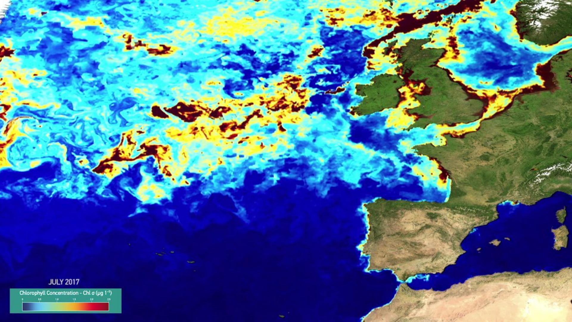
This covers a whole range of topics but my area of interest specifically focuses on ocean colour data and applications such as water quality. This because it can have lots of different impacts on for example aquaculture, bathing water, spreading of diseases. More broadly, I also use this data to validate climate scale models, look at ocean heat fluxes, ocean carbon content and much more.
How do you work with EUMETSAT?
My extensive use of ocean colour data and interest in Sentinel-3 led me to know EUMETSAT more and I have become progressively involved with the organisation through different activities.

At the moment I am involved in two concurrent projects: I work as a Copernicus marine applications expert and support Copernicus ocean data training. The marine application expert figure provides a bridge between the users and EUMETSAT in different ways: for example on one hand we are helping the user help desk when they receive questions related to marine data.
While on the other we help managing the expert community’s feedback on that data. A lot of people are using the data and all that they discover and the issues that they might face need to be fed back in order to keep improving the service and the quality of the data. And that’s where we at PML come in: compiling and filtering all the feedback and supporting EUMETSAT in finding appropriate solutions. On top of this we also help develop resources for users like handbooks, summary sheets, and other materials used during trainings.
Can you tell me more about marine data training?
Training is both online and on site: there are two phases and both should be attended. We develop trainings iteratively and are trying to test our approaches to see whether they are applicable to every type of user. Then, based on the feedback gathered we are hoping to develop permanent resources that could be shared more widely. A very important aspect is that we need to present the data in a way that the users can use it for their own activities. You ask them what their needs are and then you help them find an answer, a solution that fits.
For example, with the online phase of the training we ask users to come up with their own project to develop during the training, and we provide them with examples if they don’t have ideas.
We have a varied audience so we need to make sure that the material is understandable by all. From SMEs to people from scientific research institutions, we have to bridge the gap between purely academic users and users coming from industry or governments. It needs to be practical to use for applications.
It potentially covers a very vast range of users. And the data they select needs to be appropriate for their activities.
For example, during my PhD I was analysing algae blooms in coastal zones in South Africa. At that time I was using the Meris sensor onboard the ENVISAT satellite, which later stopped working. So all the things that I developed for that need to be translated and transformed in order to be able to use them with Sentinel-3’s OLCI sensor. If I had wanted to pitch my idea to a business it wouldn’t have been worth the investment because the data stopped.
With the Copernicus programme there is a lot of continuity ensured. Sentinel-3 is bringing a lot of improvements to the data and there is interesting synergy between Sentinel-2 and Sentinel-3. That is why we can see a growing interest in data coming from Copernicus.
Finally, through these activities with EUMETSAT, a project that I would like to foster is developing community-shared code repositories where users can share and easily access knowledge and tools.
Did the MOOC help spread awareness of marine data?
In terms of online resources, the MOOC was a great tool to help spread awareness about the data and to foster connections between users. What was extremely surprising was the level of demand for training on data use that we gathered from participants.

When we were designing it I tended not to go into too much detail because I thought people wouldn’t get hooked, but actually we received a lot of demand for more tutorials and more help with pieces of code. Subsequently, we had some people attending the MOOC who later on applied for our training courses.
The MOOC was really good because it provided some people with a starting point to go look for more information. People really like this formula of static content and online interaction where they have immediate feedback on their questions. Some MOOC students even contacted me directly with questions on how to get more information and to develop collaborations.
Do you think people know enough about Sentinel-3 data and how it is accessible?
They are starting to get there. At the beginning it’s been tricky for people to understand the Copernicus as a programme and who does what but the trainings and the various outreach activities such as the MOOC, the hackathon and the upcoming TEDx event are really helping.
Any new activities in the near future?
We’re going to be involved in a TEDx event in November, which is very exciting and we’ve also got a training in Ghana. We are also tasked with integrating in other community based initiatives already going on so we have been involved in the GODAE summer school in October in Mallorca, and will be looking at other conferences and workshops to support in future. We are basically reviewing what is already going on in the marine Earth Observation community and finding out the best ways to be involved.
