
Monitoring the health of corals with satellite data
Why high temperatures are having an impact on the ecosystem.


The Great Barrier Reef in Australia has been recently placed under red alert for coral bleaching. Here we explain how to keep an eye on corals with satellite data.
19 May 2022
10 March 2017

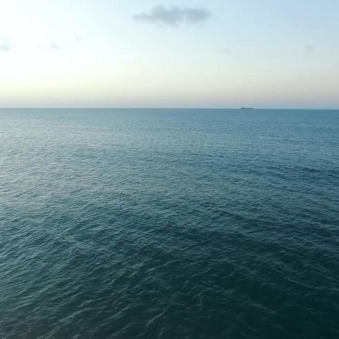
As recently mentioned on the Guardian, parts of the Great Barrier Reef are on red alert for coral bleaching in the coming months.
With sea temperatures being unusually high in general last year, it is not only the Great Barrier Reef that faces problems, but corals all over the globe. We reached out to one of our sea surface temperature experts, remote sensing scientist Anne O’ Carroll, to explain to us how coral bleaching works and what causes it.
“Corals are animals with a structure that hosts algae. They live in symbiosis: the coral acts as a home for the algae that in return provides the coral with nutrients. Corals live and thrive at an ideal temperature of usually not above 29 degrees Celsius. Anything above or significantly below causes stress to the environment and the algae feel forced to move out of the coral to look for a friendlier environment,” Anne explains.
“When this happens, the coral gradually bleaches. If it’s only stressed for a short period of time, the coral can recover and host algae once more. If however, the temperature is unwelcoming for a longer period of time, the coral bleaches and eventually dies”. This has an impact on the ecosystem as a whole therefore it is crucial to always know how the temperature is behaving.
These images show the variation in sea surface temperatures in different regions near the Great Barrier Reef.


Figures: Sea Surface Temperature from the EUMETSAT Ocean and Sea Ice Satellite Application Facility (OSI SAF) Metop-B AVHRR, for the warm pool Pacific and South Pacific/Australian regions. SSTs well over 30 degrees Celsius are observed around the Great Barrier Reef.
According to Anne, “one way to monitor and keep an eye on the health of corals, is to monitor the sea surface temperature: how frequently it gets too high or too low and for how long. “For this purpose, we can use Sea Surface Temperature (SST) data from Sentinel-3’s Sea and Land Surface Temperature Radiometer (SLSTR instrument) or we can use OSI SAF sea surface temperature products coming from Advanced Very High Resolution Radiometer (AVHRR instrument) onboard Metop.”
This Metop-B AVHRR SST image below from the OSI SAF shows that an extreme heatwave has left temperatures extraordinarily high over the sea off eastern Australia.


Figures: Sea Surface Temperature differences from the EUMETSAT Ocean and Sea Ice Satellite Application Facility (OSI SAF) Metop-B AVHRR compared to the UK Met Office Operational SST and Sea-ice Analysis (OSTIA) climatology, for the warm pool Pacific and South Pacific/Australian regions. Warm anomalies over 2 degrees Celsius to climatology are observed in known coral reef regions.
NOAA also runs a service called Coral Reef Watch that gathers information coming from different satellites and prepares maps displaying the status of sea surface temperature and alerts when the temperature is too high. “We do not have an equivalent of the Coral Reef Watch service in Europe but NOAA’s maps are accurate and comprehensive,” Anne says. “However, there is an international project that ensures that SST data is shared and consistent for everybody.” As it turns out, Anne is the Chair of the science team of the Group for High Resolution Sea Surface Temperature (GHRSST), an international science group that fosters cooperation on sea surface temperature data and products.
Every year, the GHRSST gathers scientists, users, data producers and experts around the world to collaborate on SST science and applications, and to compare SST data and make sure it is consistent, of highest quality and has a unified format. This unified framework provided by the GHRSST allows agencies such as NOAA to produce their Coral Reef Watch maps showing different parts of the planet and gives users a way to access SST data and process it. In the yearly meetings scientists and experts discuss the progresses and the quality of the products and work on enhancing their cooperation. The next meeting will be held in China from 5–9 June.
Feature image: Brain Coral / Credit: NOAA's National Ocean Service