An “experiment” 28 years ago proves its worth
The “most successful ocean experiment of all time” began 28 years ago today, with the launch of the first joint European-US satellite designed to map ocean surface topography – TOPEX/Poseidon.

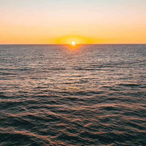
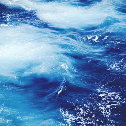
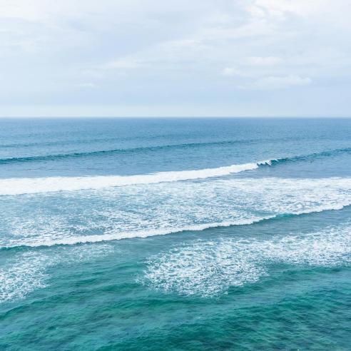
Today (8 June) is World Oceans Day and EUMETSAT is proud to bring you some out-of-this-world imagery of planet Earth’s oceans and seas.

19 May 2022
08 June 2018
“… to inform the public of the impact of human actions on the ocean, develop a worldwide movement of citizens for the ocean, and mobilize and unite the world’s population on a project for the sustainable management of the world's oceans. They are the lungs of our planet, providing most of the oxygen we breathe.”
To mark World Oceans Day, EUMETSAT has released this animation, “A Year of Ocean Colour 2017”.
The 2-minute animation shows measurements of chlorophyll in the oceans throughout 2017. It is narrated by Dr Hayley Evers-King from Plymouth Marine Laboratory.
EUMETSAT’s fleet of meteorological satellites provides data on our oceans for weather and ocean forecasting and climate change monitoring.
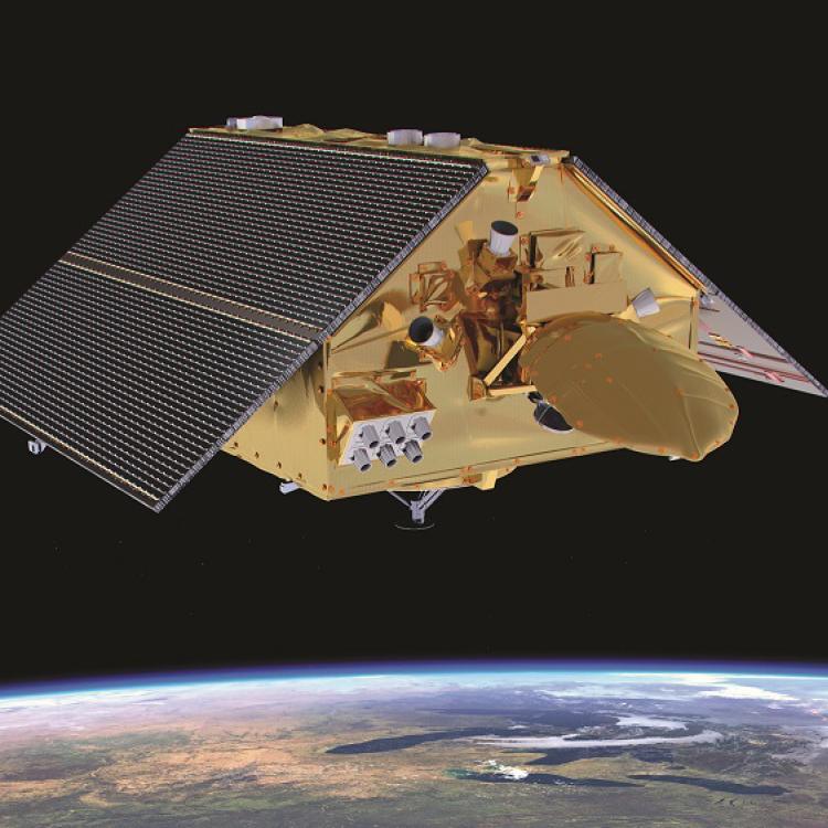
In addition, EUMETSAT processes and disseminates marine data from the European Union’s Copernicus Sentinel-3 mission.
Sentinel-3B was launched on 25 April and EUMETSAT is preparing to take over operations of the satellite from its headquarters in Darmstadt, Germany. Although the satellite is still undergoing its commissioning phase, the imagery it has begun to send back to Earth has impressed with its quality.


The uses for satellite data are many and varied and the impact on our daily lives is great – and growing – if not always well-known by the public.
Altimeters provide information about sea level and, because we now have data stretching back over decades, how the sea level is rising. But these instruments also provide information crucial for maritime safety, for example, significant wave heights.
Sea surface temperature data can be used to help predict hurricane and cyclone paths, allowing communities to prepare in advance. The data can also help predict El Nino and La Nina phenomena.
Ocean colour data show phytoplankton concentrations and can provide important information about harmful algal blooms.
The data can not only help speed up responses to natural and man-made disasters but also provide business opportunities.
But information about the oceans is also crucial for weather forecasting thousands of kilometres away. Our recent blog post discusses how, if you want to know what the weather in Europe will be like in 10 days’ time, it’s important to look at what is happening over the Pacific Ocean now.