Science on a mission
Dr Bojan Bojkov reflects on how science and innovation shape EUMETSAT’s satellite programme

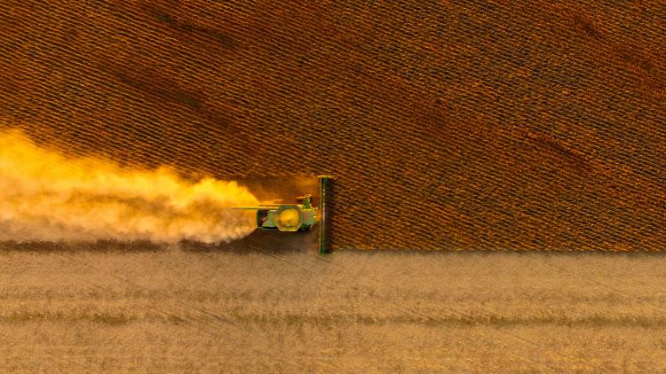
When Iceland’s Eyjafjallajökull volcano erupted in April 2010, it grounded planes across Europe, causing the worst air travel disruption in generations.
22 May 2025
22 May 2025
Among those stranded was Dr Bojan Bojkov, who spent three days making his way home from a conference in Norway by bus, train and boat. For scientists, the eruption raised questions about how satellite data could be more effectively used to track ash clouds and assess their impact.
“Meteorological satellite data were used to monitor the Eyjafjallajökull eruption and inform decisions about grounding planes, but ash clouds move quickly and can be hard to distinguish from other cloud types – especially in fast-moving weather,” says Bojkov, head of EUMETSAT’s Remote Sensing and Products Division. “The event underscored the need for more detailed data products to track eruptions more effectively and better support aviation safety.”
The following year, researchers in Belgium used data from the Infrared Atmospheric Sounding Interferometer (IASI) on EUMETSAT’s Metop polar-orbiting satellites to track sulphur dioxide plumes from eruptions in Chile, Eritrea and Iceland as they spread globally. “That sparked the idea to combine data from several Metop instruments – including IASI, the Advanced Very High Resolution Radiometer (AVHRR), and the Global Ozone Monitoring Experiment (GOME-2) – to track aerosols and gases more effectively,” says Bojkov, crediting EUMETSAT colleagues Rosemary Munro and Rüdiger Lang for initiating this product development.

Image: Courtesy of Bojan Bojkov
“Combining data from three instruments into a single product was challenging as each has different resolutions and calibration needs,” says Bojkov. “But it is invaluable, as each instrument reveals a different aspect – from coarse and fine particles to aerosol type and plume thickness – helping build a more complete picture over both ocean and land.”
Today, the Polar Multi-Sensor Aerosol Optical Properties product (PMAp) is a key tool for mapping volcanic ash, dust, biomass burning and pollution and is widely used by services such as the Copernicus Atmosphere Monitoring Service.
“This is a perfect example of how integrating science into operations can lead to uses beyond an instrument’s original design,” says Bojkov. “Science, technology and downstream applications are always evolving, and our users bring new ideas for new or improved applications of our data. When we connect all those elements, we can amplify the impact of our satellite missions.”

Science across the programmes lifecycle
Bojkov’s team is responsible for the science at almost every stage of EUMETSAT’s satellite programmes. “We are like a technical cog in a wheel that touches almost everything,” he says. “That includes early user consultation, mission design, system planning, commissioning, calibration, operations, and preparing for what comes next.”
“It’s a continuous, iterative process,” he continues. “After commissioning – the period between launch and when the satellite becomes fully operational – we assess system performance and identify what needs refining. Later, as we get a clearer picture of the data products, we can explore new capabilities or tackle emerging challenges.”

Image: EUMETSAT
Guiding this work is a strategic framework of product-themed roadmaps. “These roadmaps help keep our missions operationally relevant and aligned with evolving user needs, allowing us to focus, adapt, and prioritise,” Bojkov says.
Eleven roadmaps are currently active, covering areas such as aerosols, winds, cloud products, marine applications and greenhouse gases. To implement them, EUMETSAT collaborates closely with end users, scientific communities, member states, and key partners.
EUMETSAT’s Scientific Development Roadmaps (as of May 2025)
- Aerosol
- Wind
- Image navigation, registration and calibration
- Radio occultation
- Hyperspectral infrared
- Atmospheric chemistry
- Marine applications
- Cloud products
- Passive microwave
- Fiducial reference measurements
- Meteorology and marine pathfinders
“Investing in the science that turns satellite data into tangible benefits is vital – whether that means earlier warnings of severe weather, more accurate forecasts, air quality monitoring, or tracking volcanic eruptions, dust storms and climate change,” says Bojkov.
“In practice, this has led to a range of applications,” he continues. “Aerosol data products that support air quality forecasts and climate modelling. Ocean products that provide wind speeds and sea surface temperatures for coastal risk assessments. Reference measurements that underpin calibration and validation. And data from microwave sensors that are used to track sea ice extent and snow depth.”
The roadmaps are not just about defining priorities – they also help drive innovation, pushing satellite data into new areas of application. Bojkov points to ongoing projects that are expanding what satellite sensors can deliver.
“Near-real-time imagery from EUMETSAT’s Meteosat satellites is essential for nowcasting severe weather,” he says. “But storm tracking typically begins only once clouds have already formed. Scientists are exploring ways to detect earlier signs of instability by combining imagery with data from the upcoming Meteosat Third Generation Sounder, which will provide data relevant for measuring temperature and humidity near the surface.”
Researchers are also working to overcome technical challenges — such as by improving satellite instrument sensitivity through colocation with ground-based observations — to enable more accurate nowcasting before clouds even appear. Climate science, ocean monitoring and hydrology are also growing in focus.
“We’re looking at how satellite altimetry data can help map lake ice formation,” Bojkov says. “That could be critical for services like travel warnings, where lake ice can mean the difference between a road downwind from lakes having black ice or not.

“On the other hand, products to monitor ocean colour can help reveal phytoplankton blooms and better understand ocean biology – which is critical for assessing carbon absorption and how the ocean is responding to and influencing climate change.”
Getting the best out of programmes
EUMETSAT’s science roadmaps also encourage specialists to critically assess the organisation’s work in light of long satellite lifetimes and the fast pace of scientific and technological change, Bojkov says.
“Some of the weather satellites flying today were designed 20 years ago – long before we had today’s computing power,” he explains. “That creates opportunities to update satellite products so they better reflect what we can do now.”
As an example, he points to recent advances in converting raw satellite measurements into physical observations of aspects such as aerosols and clouds. “A decade ago, it was still difficult to account for surface properties when calculating what was happening in the atmosphere. However, in recent years, by integrating them, we have significantly improved product quality – with still a lot of further room for improvement,” he says.
“Nobody expected we would have the computational capacity to do this even when our latest programmes were approved. But we’ve worked on optimising the algorithms, and soon after launches we’ll be able to feed this directly into the system.

Image: Martin Van Damme (ULB)
“We are entering a period where we have to juggle a lot at once,” Bojkov adds. “On one hand, we’re ensuring the success of flagship programmes like Meteosat Third Generation and the EUMETSAT Polar System – Second Generation, while preparing for completely new programmes such as the Copernicus Anthropogenic Carbon Dioxide Monitoring Mission.
“Science helps us improve what we deliver – and services push us to ask new questions, sometimes ones we didn’t even know we needed to ask. Answering those questions takes both experience and young people who bring fresh perspectives to long-standing problems.
“I particularly love EUMETSAT’s mission-driven approach. Everything we do is guided by what our users need – and then we get to figure out how to make it even better with the technology we have. It’s the best kind of challenge – tricky, rewarding, and a lot of fun.”
Author:
Adam Gristwood
Main image credit:
Gunnlaugur Þór Briem CC BY-NC-SA 2.0