12 March 2024
11 March 2021
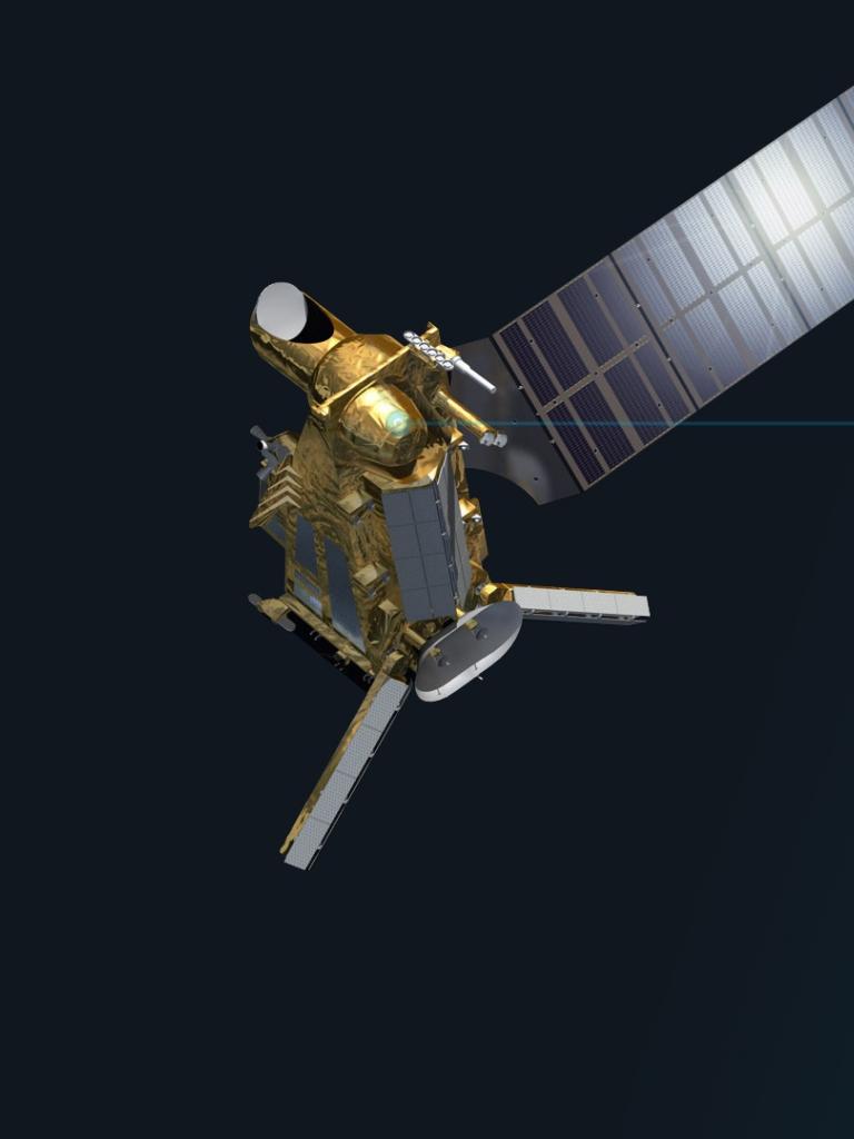
The ICI is a millimetre and submillimetre-wave conical radiometer imager on board the future EPS-SG satellite. ICI observations are acquired at about 53° incidence angle and within ±65° in azimuth, providing a swath of about 1700 km at the nominal orbit altitude. ICI has channels around 183 GHz, 243 GHz, 325 GHz, 448 GHz and 664 GHz. The primary objective of the ICI space mission is to support meteorology and climate monitoring with a special focus on the retrieval of ice clouds, in terms of columnar equivalent water content and effective particle diameter.
Objectives
The primary goal of the GAMES study was to develop a methodology for the quantitative assessment of the geolocation of the ICI radiometer. The work investigated ICI channels to look for optically detectable surface targets, such as landmarks, and atmospheric features, such as water vapour gradients and deep convective clouds, to implement an algorithm for geolocation error validation. The validation was based on a contour matching technique, using high altitude lakes, ice shelves and mountain chains as landmark targets, and water vapour features and deep convective cloud as atmospheric targets.
The activity focused on ICI, but is potentially relevant to future mm-wave passive microwave missions and is applicable to MWI 183.3 GHz and other channels.
Overview
Geolocation of satellite data is a standard part of the post-launch calibration process. For the data to be of value, it is critical that the measured parameters are correctly mapped to the surface of the Earth. To validate the geolocation error for satellite-based microwave radiometers at 10-50 GHz (outside the absorption bands) it is possible to observe the surface, exploiting the strong difference in terms of surface emissivity between land and ocean. At this frequency the land surface emissivity is in the order of 0.8 (depending on geographical coordinates) and sea surface is about 0.4 (depending on salinity, surface temperature, wind speed and angle of view). The brightness temperature contrast along the coastline is used to extract the shoreline contours from satellite images. By correlating the reference shoreline with the extracted radiometric contour, it is possible to estimate the displacement, obtaining the final geolocation error in km.
An alternative way to obtain the coastline is to exploit the difference between ascending and descending swaths. At frequencies beyond 150 GHz, the gaseous absorption increases, and the atmospheric transmittance tends to be nearly zero, so that the surface becomes optically invisible. However, some channels can still detect the surface, e.g. in subarctic-winter conditions and in regions with high topography with very low atmospheric water vapour. This is the case for the outermost 183 GHz channel (ICI-1), and for the channel at 243 GHz (ICI-4). As such, the first objective of GAMES was to develop a method for the validation of these channels, identifying specific landmark targets area (see Figure 1).
A further goal of the GAMES study was to quantify the errors in the field of view geolocation of ICI, exploiting meteorological targets. Unfortunately, most of the ICI channels, namely those at frequency equal or greater than 325 GHz, have no chance to sample the surface features due to the strong gas absorption at those frequencies, thus preventing any ground target-based geolocation method. This is where the meteorological target-based geolocation methods came into play.
Two distinct geolocation methods making use of meteorological targets were studied: absolute and relative geolocation methods.
The goal of the absolute geolocation was to estimate the geolocation error of a pivot ICI channel (e.g. one of those around 183 GHz) with respect to external reference information.
For the relative geolocation, this was a self- referenced method using ICI channels only, without resorting to external auxiliary information, and aimed at finding the pointing error of the ICI channels (i.e. those at frequencies above 183 GHZ) with respect to the pivot one (see Figure 2).
The meteorological targets considered were deep convective clouds and water vapour masses (or atmospheric rivers) since these two target typologies were expected to be sufficiently detectable by the investigated ICI channels.
The effectiveness of the absolute geolocation method was assessed using actual observations from PMW (e.g. SSMI/S, MHS, ATMS) sensors and SEVIRI on board MSG (see Figure 3). GMI and radar information from DPR and Cloudsat radar were also used for verification. The rationale was to have the PMW 183 GHz channel that mimics the 183 GHz ICI channel that needs to be geolocated, whereas MSG channels in the infrared window act as reference. On the other hand, the relative geolocation was assessed using a simulated dataset of four ICI orbits.
A geolocation validation prototype tool was also generated as a stand-alone tool, implementing the promising methods based on landmark targets, as well as a Backus-Gilbert-based relative geolocation assessment technique. The geolocation error assessment prototype was implemented in a standard language, using Python and Cython for computationally intensive algorithms. Cython is a superset of the Python language, and a compiled language designed to give C-like performance of code written in Python. The coding was modular, as generic as possible, clearly readable, commented, and conformed to coding standards (e.g. PEP8).
The GAMES tool is portable and has been developed so that it can be run within a Docker container. This container can be transferred to any Docker-enabled machine. Data can easily be mounted into this container. A representative test and validation dataset, over selected regions of the globe, spanning a time period equivalent to one month of data, was also collected. A detailed Algorithm Theoretical Basis Document (ATBD) has also been prepared. The ATBD describes in detail the methodology and the selection procedures applied.

The GAMES study was conducted by a consortium of researchers belonging to Sapienza University of Rome (leading), Italy, National Research Council of Italy-Institute of Atmospheric Sciences and Climate (CNR-ISAC), and MOLFLOW, Sweden.


