The location of the OC-SVC infrastructure must meet the requirements defined in Phase-1 of the Copernicus OC-SVC roadmap concerning marine, atmospheric, logistical and safety characteristics of the site, and its capacity to generate a large number of high quality matchups with satellite data.
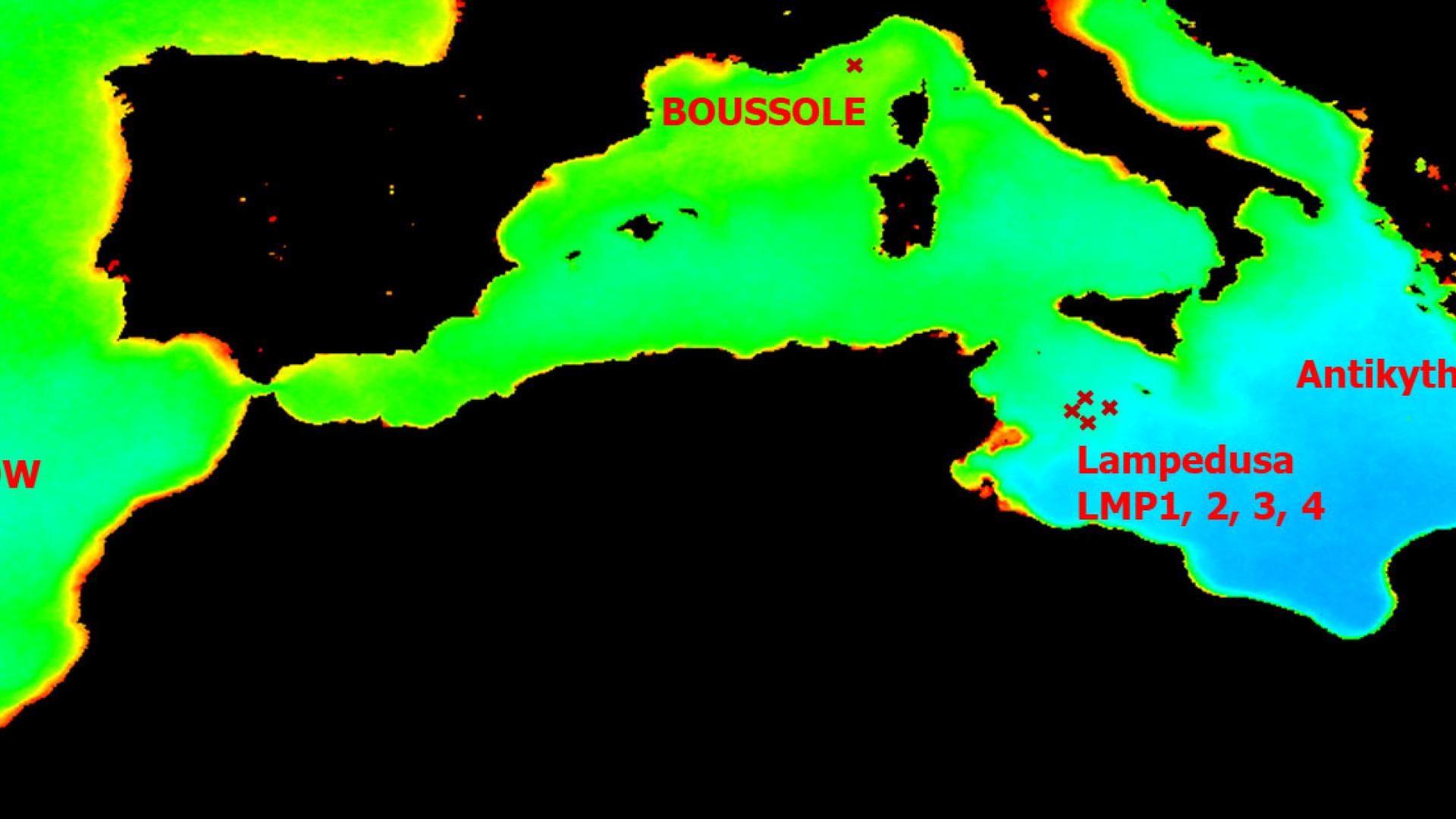
Five locations across European waters were identified and investigated as candidate sites to host the potential Copernicus OC-SVC infrastructure (Figure 1):
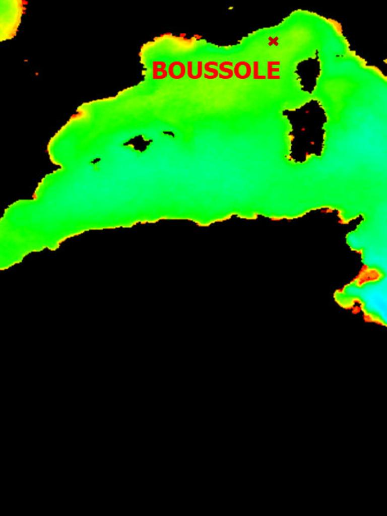
- Boussole: 43.366N, 7.9E.
- Crete: MSEA-N: 35.74N, 25.07E; MSEA-S: 34N, 25E; Antikythera: 36.2N, 23.55E.
- El Hierro: 27.5876N, 18.1573W.
- Lampedusa: LMP1: 35.5N, 12.8E; LMP2: 35.75N, 12.35E; LMP3: 35.85N, 12.73E; LMP4: 35.78N, 13.07E.
- Madeira: SOW: 32.25N, 17W; OPT: 32.62N, 17.27W.
Five parallel studies conducted by regional institutes provided the site characterisations:
- BOUSSOLE — Laboratoire d'Océanographie de Villefranche (LOV)/IMEV/ACRI-ST
- Crete — Hellenic Centre for Marine Research (HCMR)/Crete University
- El Hierro — Spanish Institute of Oceanography (IEO)/State Meteorological Agency
- Lampedusa — Italian National Research Council (CNR)/ENEA
- Madeira — Instituto Português do Mar e da Atmosfera (IPMA)
Reports and presentations from the five studies were assessed by the expert review board and EUMETSAT, together with additional information requested by the board concerning sites’ capacity to generate OC-SVC matchups, further environmental and logistical inputs, and costing considerations for the new sites.
The goal was to identify the location/s that meet the Copernicus OC-SVC requirements and to issue a recommendation to the Copernicus programme.
The scientific process is overseen by the European Commission. As the actual OC-SVC infrastructure development is associated with a significant and long-term commitment of the resources, it may go forward to the next phases or be put on hold depending on the Copernicus programmatic decisions and the availability of funding.
Objectives
The five studies provided marine, atmospheric and environmental climatological analyses for their respective locations, as well as, the logistical and safety characteristics of the sites.
The location of potential Copernicus OC-SVC infrastructure must be based on solid scientific evidence in order to guarantee the European capability and expertise for a state-of-the-art, autonomous and dependable OC-SVC source. The location must also fulfil OC-SVC requirements spanning the upcoming decades of the Copernicus programme, including the next generation and expansion missions, and must ensure value for money for the Copernicus programme, if implemented.
The requirements are driven by the uncertainty budget of the complete OC-SVC process, from in situ radiometric measurements to the computation of mission-averaged vicarious calibration gains, all strictly following metrological principles and SI traceability.
To fulfil these goals, the location must demonstrate the optimal marine and atmospheric conditions, the capacity to generate a large number of OC-SVC matchups with satellite missions, and must be placed in a logistically accessible and safe place.
Overview
The investigations of the five Copernicus candidate OC-SVC locations across European waters were conducted by five parallel studies managed by regional institutes. The results and documentation from these studies are included under the links below:
- BOUSSOLE — LOV/IMEV/ACRI-ST
- Crete — HCMR /Crete University
- El Hierro — IEO/State Meteorological Agency
- Lampedusa — CNR/ENEA
- Madeira — IPMA
Study reports
Reports and presentations from the five studies, linked above in the Overview, were assessed by the Expert Review Board and EUMETSAT, together with additional information requested by the Board concerning the sites’ capacity to generate OC-SVC matchups, further environmental and logistical inputs, and costing considerations. Conclusions of the expert review board are provided in the Conclusions of the Review of Candidate Locations for Copernicus Ocean Colour System Vicarious Calibration Infrastructure report
Technical documents
Copernicus OC-SVC Candidate site Matchup potential
Copernicus OC-SVC Candidate site Wave climatology
Copernicus OC-SVC Candidate site Cloud cover analysis
Copernicus OC-SVC Candidate site S2 MSI potential
| EUMETSAT |
|---|
| Dr Ewa Kwiatkowska Remote Sensing Scientist Remote Sensing and Products Division EUMETSAT |


