Behind the data: Better monitoring of cyclones
With their bird’s eye view, satellite altimeters make it possible to monitor severe storms in the middle of the ocean
Altimetry expert Vinca Rosmorduc shines a light on how observations from satellite altimeters enable meteorologists to more accurately forecast and track cyclones.
A bird’s eye view
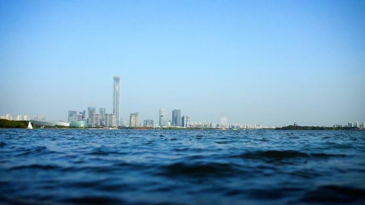
“Cyclones are closely linked to the ocean because they form over the ocean and are fuelled by its heat. In the middle of the ocean, there are very few in situ measuring instruments, such as buoys, so satellites are very important in monitoring cyclones there. Satellites are able to have a bird‘s eye view,” said Rosmorduc.
“Cyclones can produce very large waves. During a cyclone, the average wave height is 18 metres – that’s the height of a five-story building. Imagine having a wave that tall over your head!
“The observations taken by altimeters are used in forecasting models and are important beyond just, ‘Oh, we are seeing very high waves in this area.‘ When a cyclone develops very high winds and these winds push water toward the coast, it results in a high sea level. When combined with low atmospheric pressure, wind and waves at high tide, this contributes to storm surge, which can cause very damaging coastal flooding. And all of this is in addition to the damage the winds cause directly.”
Under the radar
“Altimeters measure sea levels. They do this by using a radar to measure the distance between a satellite and the ocean surface. By knowing the exact location of the satellite, we can deduce the height of the water.
“When observing an area of the ocean just below the satellite, if there are waves, you won‘t have as many radar signals returning back to the satellite as you do when the sea is very calm. You can use this information to measure wave height. We can also use altimeter measurements to deduce wind speed.
“When meteorologists recognise the first signs of a cyclone, they use satellite observations in combination with other observations to develop forecasts for the coming days. The priority of a cyclone forecast is to estimate in advance the wind speed and the trajectory of the storm. Satellites such as those in the Metop and Meteosat series are the foremost satellites to be used for this and altimetry is used for wave forecasting. Together, these predictions about wind speed, storm trajectory, and wave forecasting are essential for issuing life-saving warnings across coastal areas in a storm’s track.”
High waves mean trouble
“We can learn a lot from Typhoon Hinnamnor, a powerful storm that began on 27 August 2022 and had winds that reached an incredible 260 kilometres per hour.
“The animation below tracks the sustained wind speed and extent of the storm as they correspond to the significant wave height, the average height of the highest one-third of waves in a given period, from the morning of 28 August to the night of 5 September.
Credit: Dr Ben Loveday/Copernicus Marine Training Service
“In the animation, the rings represent the sustained wind speed – the faster the winds, the darker the ring – and the extent of the storm – note how the ring grows as it reaches its southernmost point. This information comes from a number of meteorological centres that monitor storms and issue warnings including Meteo France, the Japan Meteorological Agency, and the National Oceanic and Atmospheric Administration.
“The lines you see cutting across the animation represent the significant wave height, as measured by two different altimeters: the Synthetic Aperture Radar Altimeter on the Copernicus Sentinel-3 satellite and POSEIDON-4 on the Copernicus Sentinel-6 Michael Freilich satellite.
“As the storm progresses, the lines over the storm go from blue to a little bit yellow with a red point, to very red, indicating increasing significant wave heights. When the storms stalls and starts to head north, you can see that it’s making quite big waves.
“This altimetry information can be used to forecast ocean waves a few hours or days into the future as well as to study storm afterwards to improve the forecasting model.”
More data, better models
“This next animation shows a forecasting model view of the same storm.
Credit: Dr Ben Loveday/Copernicus Marine Training Service
“Here you can see the significant wave height in areas where it exceeds 4 metres, as represented by the colour across the whole map ranging from black to pale yellow, and the wind speed and direction, represented by the little arrows.
“At the centre of the storm, you can see wave heights reaching about 8 or 9 metres.
“Altimetry data is used together with other data to fit the forecasting models to the way the storm actually behaved at any given point. As meteorology is a very complex science, if we just let the computers run their models, they would get further and further from the actual situation.
“There will always be a bit of chaos involved in systems such as the atmosphere but the more real-world data we have to feed into our models, such as the data delivered by the Sentinel satellites of the Copernicus programme, the more accurate the models will become. In the short term, this will lead to more accurate forecasts.
“Rising seas will mean much more coastal flooding when you’ve got storm surge events from big storms. For people in low-lying coastal areas, saltwater in their houses every few months could become a real problem.
“Sea level rise is something that has been very precisely and very cautiously monitored for the past thirty years by altimeters on a continuous series of satellites.
“So altimetry, while already very important for people in areas affected by cyclones, will only become more essential over time as climate change causes more frequent and more powerful storms, and the rate of sea level rise continues to accelerate.”
Are you an expert wanting to know more?
Check out the case study where you can find the evolution of three more typhoons and an accompanying Jupyter Notebook.
Author:
Sarah Puschmann