06 March 2026
16 November 2022
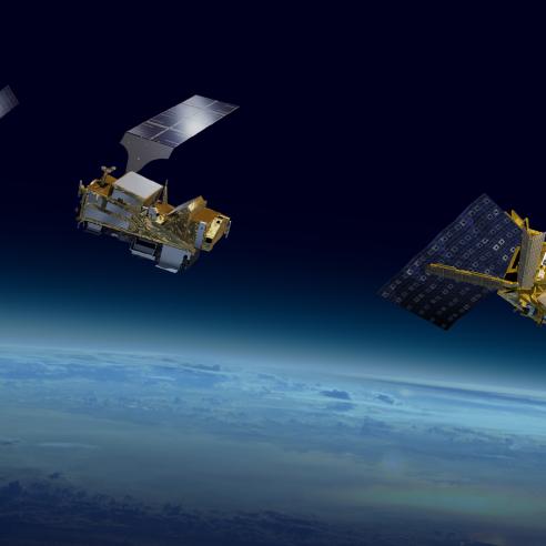
Global data service
The Metop Global Data Service provides near-real-time products generated from the satellites’ instrument data.
Instrument data recorded by the satellite during its last orbit are transmitted or “dumped” to the central data acquisition station at Svalbard, Norway. The high latitude of this station allows the global data stored on each satellite to be dumped via X-Band once per orbit. Each Metop satellite produces approximately 2gb of raw data per orbit.
Additionally, in order to improve timeliness of products, one of the operational satellites dumps the data from the descending part of the orbit over the McMurdo Station in Antarctica. Information on the weekly “dump” of data can be found .
The data acquired by the two ground stations data are immediately transmitted to EUMETSAT mission control in Darmstadt, Germany, where they are processed, stored and disseminated to data users. Communication from Svalbard to the central site is via a fibre optic link, with a satellite communication link as a backup.
Regional data services
Regional data services are provided by the EUMETSAT Advanced Retransmission Service (EARS), a network of advanced high resolution picture transmission reception stations.
EARS comprises 11 separate data services that aim to provide timely regional data from polar-orbiting satellites for weather forecasting purposes, where they are used in numerical weather prediction and nowcasting applications
This is achieved through a network of direct broadcast stations receiving and processing data and redistributing products in near-real time.
Direct
Data, products and services are directly disseminated from EUMETSAT’s Metop satellites and the US National Oceanic and Atmospheric Administration’s low-Earth orbiting satellites to a data user’s reception station.
The data source is the satellite as it passes over the user's field of view. Readout of all instrument data can be achieved via the advanced high resolution picture transmission stations.
NOAA Global Data Service
The Global Data Service from the US National Oceanic and Atmospheric Administration (NOAA) is based on the Advanced Technology Microwave Sounder (ATMS), Cross-track Infrared Sounder (CrIS) and Visible Infrared Imager Radiometer Suite (VIIRS) data acquired, processed and formatted by NOAA’s national polar orbiting operational environmental satellite system data exploitation.
The data from the NOAA-20 and S-NPP satellites have a timeliness value and geographical coverage typical for global data. The data they acquire is distributed via EUMETSAT’s EUMETCast dissemination service to European users and via the World Meteorological Organization’s Global Telecommunication System.
The operational NOAA Global Data Service consists of Advanced Very High Resolution Radiometer (AVHRR) and Advanced TIROS Operational Vertical Sounder (ATOVS) global data, which originates from the NOAA-19 spacecraft afternoon orbit.
The raw data are dumped either at the NOAA ground stations in Fairbanks and Wallops Island in the USA or at the central data acquisition station in Svalbard, Norway. As with the Metop Global Data Service, the NOAA data are transferred to the EUMETSAT headquarters for processing and distribution to end users.
More information can be found here.
Learn more about Metop Services at the EUMETSAT User Portal.