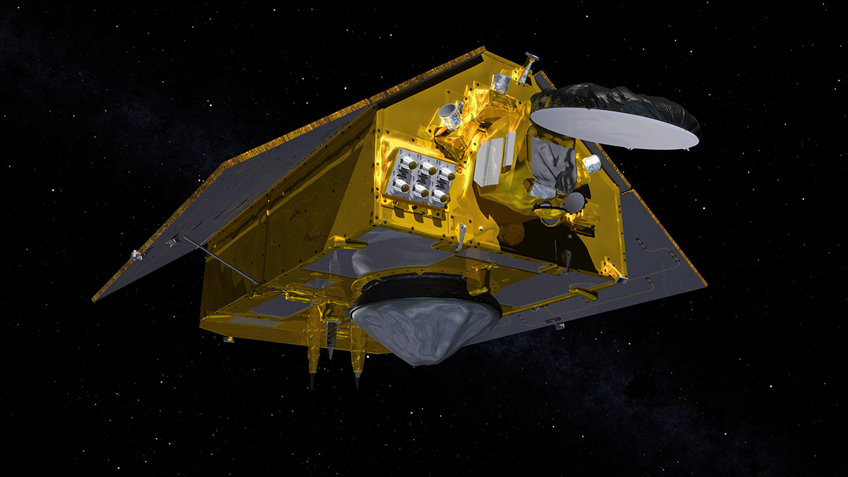
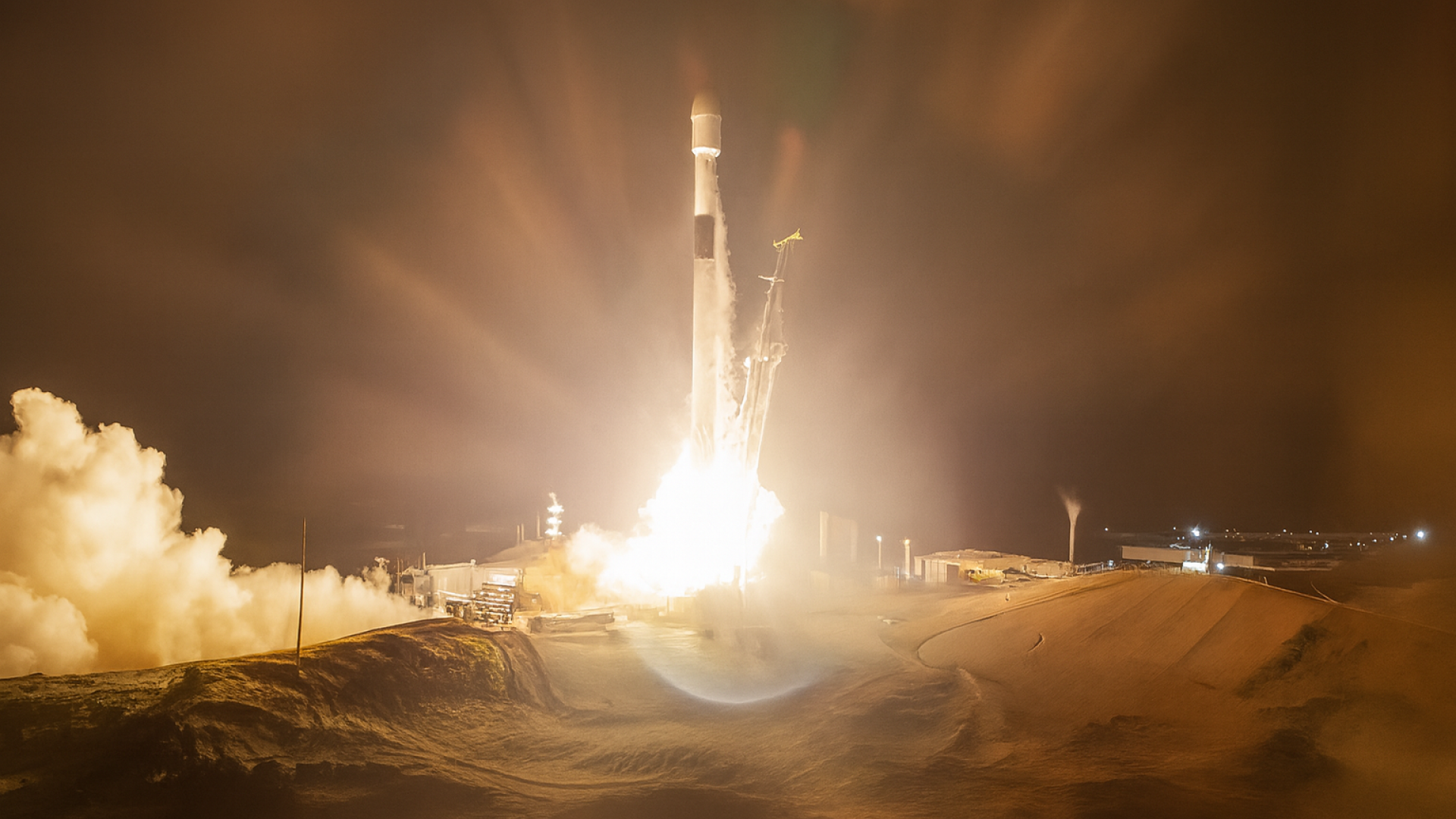
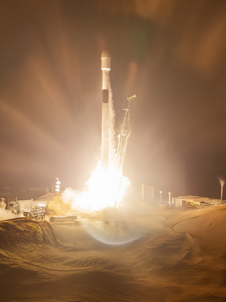
At 06:21 CET on 17 November, the Copernicus Sentinel-6B satellite – the latest milestone in Europe’s ocean-monitoring capability – lifted off from Vandenberg Space Force Base in California, USA.
Operated by EUMETSAT on behalf of the European Commission for its Copernicus Programme, Copernicus Sentinel-6B[1] will deliver high-precision measurements of sea level and freshwater systems. Its data will enhance weather, ocean state and climate forecasts and support effective water management, helping to safeguard communities and livelihoods.
Once fully operational, Copernicus Sentinel-6B will take over from its twin, Copernicus Sentinel-6 Michael Freilich, as the world’s reference mission for high precision satellite altimetry. By providing measurements to support the calibration of all ocean-surface missions, it enables all marine users worldwide to benefit from reliable and accurate data.
Mapping up to 95% of Earth’s ice-free ocean every 10 days, Copernicus Sentinel-6B will provide critical data on ocean currents, wave height and wind speed. It will further a unique, over 30-year long record of precise altimetry observations, which is crucial for our understanding of climate change and for determining global sea-level rise (SLR).
Beyond the oceans, the data it collects will also support inland-water management. Sentinel-6B will measure river and lake levels, which, together with observations from EUMETSAT’s Metop and future Metop-SG satellites, allows the tracking of river discharge, enhanced flood forecasting and drought assessment.
“The rate of sea-level rise has nearly doubled in a generation and threatens 900 million people living in coastal regions. Through the operation and data delivery of Copernicus Sentinel-6B, EUMETSAT provides the accuracy and timeliness needed to monitor these changes and to help protect people, infrastructure, and ecosystems along our coasts,” said EUMETSAT Director-General Phil Evans.

Credit: NASA/JPL
“EUMETSAT is proud to operate Copernicus Sentinel-6B on behalf of the European Union’s Copernicus Programme, in partnership with ESA, NASA, NOAA and the support from CNES, for the benefit of all.“
Christoph Kautz, Director for Space Policy, Earth Observation, and Satellite Navigation at the European Commission (DEFIS) stated: “The Copernicus Sentinel-6B mission is a powerful example of how Europe turns space-based data into real value for people, the planet and prosperity. From supporting emergency management and disaster risk reduction to guiding sustainable fisheries and maritime transport, its open data will empower users across Europe and beyond.”
ESA’s Director of Earth Observation Programmes, Simonetta Cheli, said, “Collaboration between partners is key to a mission such as Sentinel-6, and my thanks go to everyone involved in developing, launching and operating this exceptional satellite, which follows in the footsteps of the first Sentinel-6, Michael Freilich.
“This achievement demonstrates what can be accomplished when international agencies and industries work together toward a shared goal. Sentinel-6B will ensure that we continue to collect the high-precision data needed to understand our changing climate, safeguard our oceans and support decisions that protect coastal communities around the world.”
EUMETSAT will take over control of the spacecraft from the European Space Agency after the satellite is put on a trajectory to reach its operational orbital position. The organisation will then, in cooperation with its European and U.S. partners, operate the full Sentinel-6 system throughout its commissioning phase, during which data products will be calibrated and validated before their operational release to the Copernicus Marine Service and its users worldwide.
For more information on Copernicus Sentinel-6B, visit EUMETSAT’s launch hub, which features news, interviews, and insights into the satellite’s journey.
[1] Copernicus Sentinel-6B is operated by EUMETSAT on behalf of the European Commission, and in partnership with the European Space Agency (ESA), the National Aeronautics and Space Administration (NASA), the U.S. National Oceanic and Atmospheric Administration (NOAA) and with the support from the French Space Agency (CNES). Copernicus is the Earth Observation component of the European Union Space Programme.
Main image: Nasa/JPL


