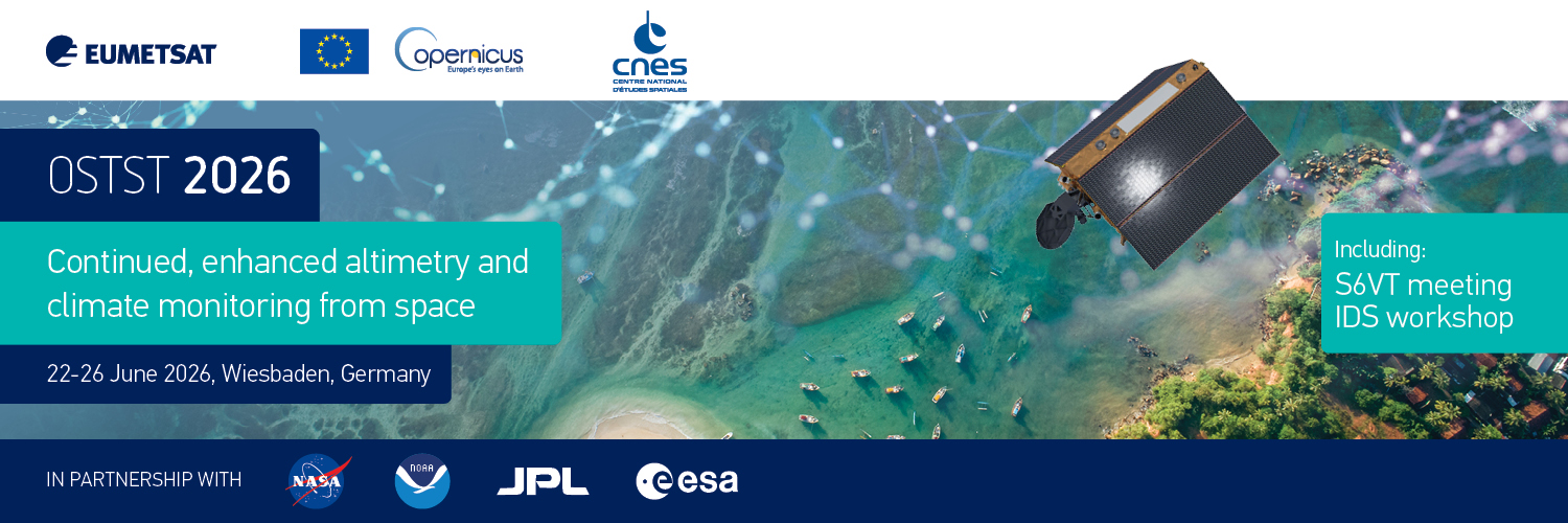
Ocean Surface Topography Science Team Meeting 2026
Wiesbaden, Germany, 22-26 June 2026
The Ocean Surface Topography Science Team Meeting (OSTST) offers a unique opportunity to explore the performance of satellite altimetry constellations and to provide a forum to reflect on user needs for future systems

The European Organisation for the Exploitation of Meteorological Satellites (EUMETSAT) and the Centre National d’Etudes Spatiales (CNES) are pleased to announce an important altimetry event in June 2026.
08 May 2026
01 December 2025
The Ocean Surface Topography Science Team Meeting (OSTST) is a joint endeavour between EUMETSAT, the European Space Agency, CNES (France’s space agency), NASA, NASA Jet Propulsion Laboratory (JPL) and the US National Oceanic and Atmospheric Administration (NOAA), with EU funding through its Copernicus programme.
Experts from around the world will gather to discuss the performance of current satellite altimetry constellations as well as the use and information-sharing about all present, past, and future altimeter missions. While most applications focus on the open oceans, there will also be an emphasis on coastal areas, polar seas, and inland waters.
In addition, and following on from the successful launch of the Copernicus Sentinel-6B satellite in November 2025, this OSTST meeting will place a strong focus on the commissioning status and activities of the mission. Thus it will take place jointly with meetings dedicated to the Sentinel-6B validation team and the international DORIS service, where teams will report on the findings from the satellite’s commissioning.
The meeting is open to international partners, global users of Copernicus altimeter data such as from Jason-3, Sentinel-3 and Sentinel-6, users of altimeter data provided by other space agencies, e.g. CryoSat-2, SARAL/AltiKa, SWOT, HY-2, as well as altimetry specialists from EUMETSAT ESA, NASA, NOAA, CNES, ISRO etc. and those working on future altimetry missions.
Abstract submission is closed
Information and details on registration and programme can be found here.
Information and details on abstract submission and registration can be found here.