09 December 2024
08 May 2023
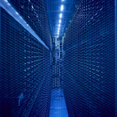
Physical parameters – the so-called level 1 products – are extracted from satellite observations at our headquarters, together with some geophysical parameters – the so-called level 2 products. The EUMETSAT User Portal data catalogue is full list of EUMETSAT’s products.
To ensure we achieve the full potential of our satellite data in a broad range of meteorological and environmental applications, our ground segment also includes a network of eight satellite application facilities (SAFs), each specialising in the delivery of products in one specific application area.
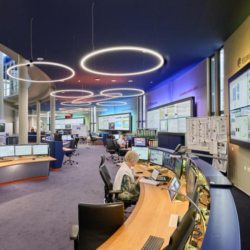
The data and products generated across our ground segment, at EUMETSAT headquarters and by the SAFs, are then delivered to data users in real time and offline.
The use of EUMETSAT data in climate services and science is expanding from year to year. The organisation reprocesses its data regularly with the latest and best algorithms available. EUMETSAT has enhanced its systematic approach to delivering high-quality climate data records utilising satellite observations that now span more than 40 years.
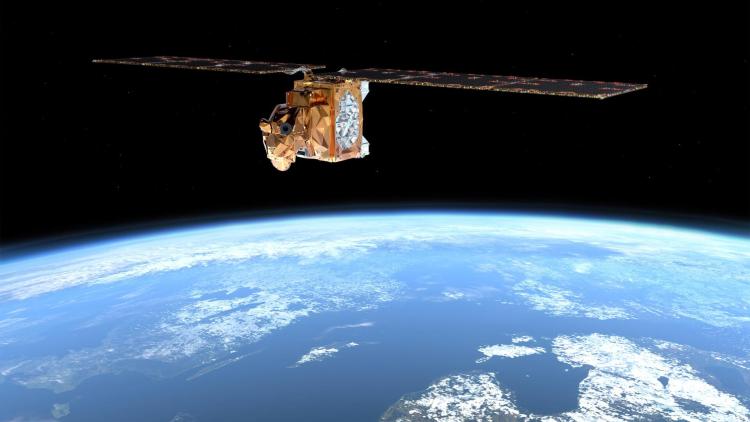
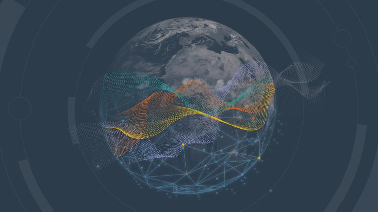
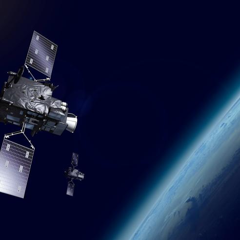
EUMETSAT’s Meteosat geostationary satellites and Metop polar-orbiting satellites provide continuous, decades-long archives of space-based observations of the Earth’s atmosphere, ocean, land, and cryosphere. Researchers can also make substantial enhancements to the global climate record by turning to past satellite observations.
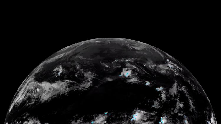
Historical satellite data can help us to fill in the details of the past, with comprehensive records of parameters such as surface temperatures, polar ice, or essential trace gases in the atmosphere.
EUMETSAT-generated climate data records are used systematically in reanalyses, such as the Copernicus Climate Change Service’s ERA-5 global reanalysis and follow-on reanalyses. The outputs from reanalyses contribute to almost all high-level climate documents, including the Copernicus programme’s and World Meteorological Organization’s state of the climate reports.
You can read about EUMETSAT’s climate services here.