
25 August 2025
08 May 2023
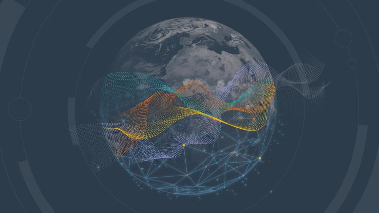
EUMETSAT’s aim is to make the data available as quickly and easily as possible. Listed below are the ways we make EUMETSAT data available.
EUMETCast
EUMETCast transmits a stream of near-real-time data to user reception stations within a guaranteed timeliness.
The multicast stream is transmitted to the user via a variety of networks. EUMETCast Satellite provides satellite-based access by two different services, EUMETCast Europe and EUMETCast Africa, to different user groups. EUMETCast Terrestrial provides data to users worldwide using terrestrial networks. A single user reception station can receive the full complement of data collections provided on EUMETCast. Once communications have been established, the same software is used to decode and store the received data, regardless of whether they are received via EUMETCast Satellite or Terrestrial.
EUMETSAT Data Store
The EUMETSAT Data Store provides access to a growing catalogue of EUMETSAT meteorological, climate and ocean data through an online web interface, and through a suite of application programming interfaces, incorporating data tailoring capability.
EUMETView
EUMETView allows users to display visualisations and create maps from across the EUMETSAT product range. EUMETView is an online map service that provides these visualisations through a customisable web user interface and an enhanced set of Open Geospatial Consortium (OGC) standard application programming interfaces.
Data Tailor
The Data Tailor makes it possible for users to subset and aggregate our data products in space and time, filter layers, generate quicklooks, project on to new coordinate systems, and reformat into common formats for geographic information systems (netCDF, GeoTIFF, etc). It offers a uniform way to transform historical and near-real-time satellite data provided by EUMETSAT. The Data Tailor service can be used online in connection with the Data Store or downloaded and deployed on users’ premises.
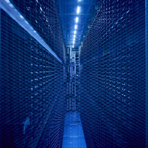
EUMETSAT Data Centre
The EUMETSAT Data Centre is an archive of data and products from EUMETSAT. The Data Store will gradually replace it in terms of data service. The Data Centre will then focus only on long-term data preservation functions.
WEkEO
EUMETSAT, the European Centre for Medium-Range Weather Forecasts (ECMWF), Mercator Ocean International and the European Environment Agency have developed the WEKEO data information and access service to provide fast and easy access to Copernicus data and products.
European Weather Cloud
The European Weather Cloud is a joint initiative of EUMETSAT and the ECMWF. The European Weather Cloud is the cloud-based collaboration platform for the development of meteorological applications and operations in Europe. It supports the digital transformation of Europe’s meteorological infrastructure.
The platform is dedicated to supporting the national meteorological and hydrological services in EUMETSAT’s and the ECMWF’s member states to fulfil their official duty to protect life and property from impending meteorological hazards.
You can find out more about these services and how to access them on the EUMETSAT User Portal.