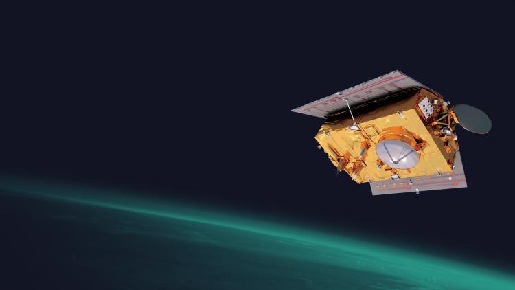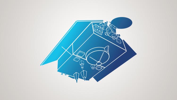
Copernicus Sentinel-6
The Sentinel-6 Michael Freilich radar altimeter mission provides high-precision measurements of global sea-level.
Tracking rising seas and how heat circulates through the global oceans are key
25 January 2024
02 May 2022
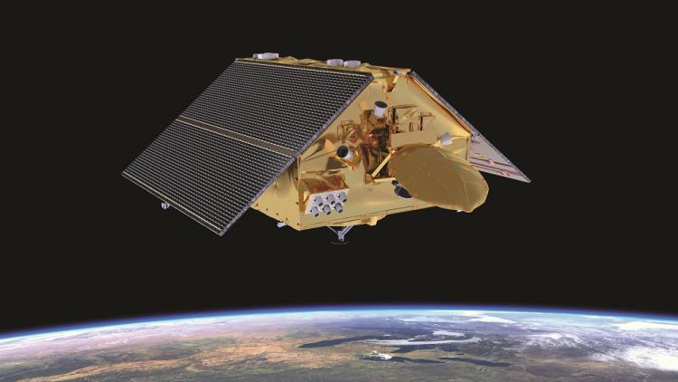
Since its launch nearly a year-and-a-half ago, Sentinel-6 has been flying in tandem with its predecessor satellite, Jason-3 – until this month, when Sentinel-6 began its solo journey.
Its main mission, to collect information about the global oceans, is essential for understanding the changing climate. Rising seas threaten low-lying islands, coastal communities, and ecosystems. Ocean currents, too, provide a critical source of knowledge about the climate because of their role in circulating heat around the globe.
“The unique contribution of Sentinel-6 is as a reference mission to provide data that can be used to monitor the climate by measuring mean sea level rise at global, regional, and coastal scales,” said Dr Pierre-Yves Le Traon, Scientific Director of Mercator Ocean International.
Mercator Ocean International, an international ocean prediction centre that runs the European Union Copernicus Marine Service, a free European ocean-monitoring service, uses data coming from different satellite altimeters – instruments that measure the height of the ocean –in concert to create a full picture of the variations in the height of the ocean across the globe. These different altimeters include those aboard the Copernicus programme’s Sentinel-3A and -3B satellites, the European Space Agency’s Cryosat-2, the Indo-French SARAL, and China’s HY-2. But Sentinel-6 plays a central role – it is the instrument to which the rest of the orchestra is tuned.

“Sentinel-6 is key in being used to cross-calibrate all altimeter missions that we use,” Le Traon said.
“It’s also important to highlight the fact that Sentinel-6 consists of not only one but two satellites —Sentinel-6A and -6B—so we will have the insurance of the long-term continuity of this reference mission for a long time, until at least 2030. This is quite an achievement.
“In addition, Sentinel-6 data is higher resolution and has a lower noise level than Jason-3 data, which is particularly useful near the coasts. This has led to an improvement in the quality of our products and models, which has a positive impact on our 40,000 users, who need them to track sea level rise and develop ocean forecasts.”
Mercator Ocean International puts Sentinel-6 data to use in two important ways. The first is for their observational products, which are measurements of the ocean from one or more instruments, that give users information about sea level, sea surface temperature, ocean colour, sea ice, waves, and winds.
“Sea level is the most important observational product that Sentinel-6 data contribute to but waves are also important for many applications,” said Le Traon.
The second way Mercator Ocean uses Sentinel-6 data is in their models, which are simulated approximations of ocean measurements. Observational data are used in their models in two ways: to create the initial conditions for the model as well as to correct the model towards the measured reality as it develops. These models help in monitoring climate change by tracking features such as sea level rise, although this is not the only one.
“Sea level rise is the most visible feature of climate change but ocean circulation – how much heat the ocean is carrying and how this heat is redistributed through ocean currents — is also important to monitor. This is where modelling plays a major role. Observations from Sentinel-6 and other altimeters are integrated into ocean models in order to create a four-dimensional, high-resolution description of the ocean state, encompassing space and time,” said Le Traon.