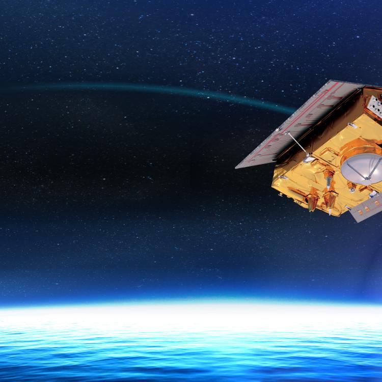
Copernicus Sentinel-6B is set to lift off from Vandenberg Space Force Base in California, USA in the early morning of 17 November.
The satellite will soon begin its mission to help protect coasts and communities and strengthen climate intelligence.
Last Updated
14 November 2025
Published on
13 November 2025
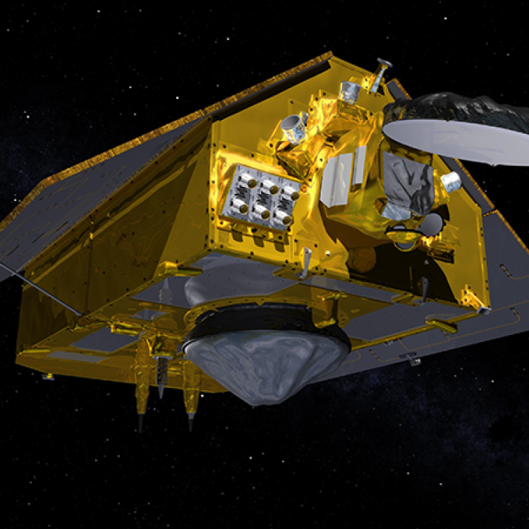
Copernicus Sentinel-6B, the latest milestone in Europe’s ocean-monitoring capability, is expected to deliver high-precision measurements of sea level and freshwater systems. Its data will enhance weather, ocean state and climate forecasts, and support effective water management, helping to safeguard communities and livelihoods.
The satellite will be operated by EUMETSAT on behalf of the European Union’s Copernicus Programme. Once fully operational, Sentinel-6B will take over from its twin satellite Sentinel-6 Michael Freilich, as the world’s reference mission for high precision satellite altimetry. By providing measurements to support the calibration of all ocean-surface missions, it enables all marine users worldwide to benefit from reliable and accurate data.
Mapping up to 95% of Earth’s ice-free ocean every 10 days, Copernicus Sentinel-6B is set to provide critical data on ocean currents, wave height, and wind speed. It will further a unique, over 30-year long record of precise sea-level observations, which is crucial for our understanding of climate change.
Beyond the oceans, the data provided by the satellite will also support inland-water management. Sentinel-6B will measure river and lake levels, which, together with observations from EUMETSAT's Metop and future Metop-SG satellites, allows the tracking of river discharge as well as enhanced flood forecasting and drought assessment.
The event at EUMETSAT will not be streamed, but you can celebrate with us by watching the webcast of the launch of this important satellite.
You can join the webcast here on this page from 05:30 CET on Monday when the stream is scheduled to start.