The life and times of Meteosat-7
EUMETSAT’s longest-serving meteorological satellite.


Meteosat-7 now been safely delivered to the “graveyard orbit”, after being put through a series of manoeuvres earlier this month.
01 November 2023
27 April 2017

Seven “manoeuvre burns” were required: the first three to remove the satellite from the protected geostationary region and the rest to raise the orbit further and use up its remaining propellant.
After almost 20 years’ service providing imagery and data that has helped save lives and property and prevent economic loss, the fuel tank is empty and the spacecraft’s instruments have been switched off. (You can read more about why that was necessary in our previous blog post.) Central to Meteosat-7’s success story and long life – it was the last of the first generation Meteosat satellites with a design lifetime of five years - were robust design and prudent flight operations, together with ingenuity and constructive teamwork.
Facts and figures
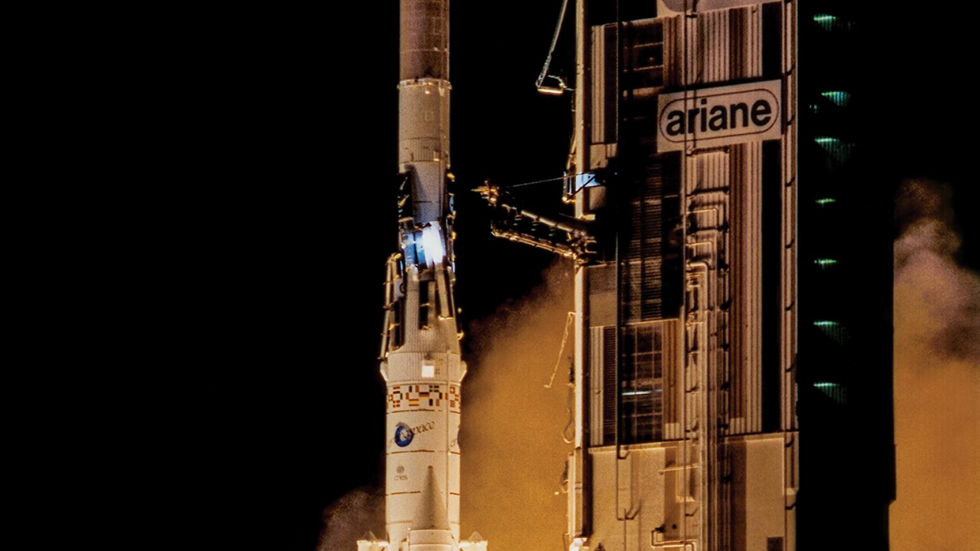
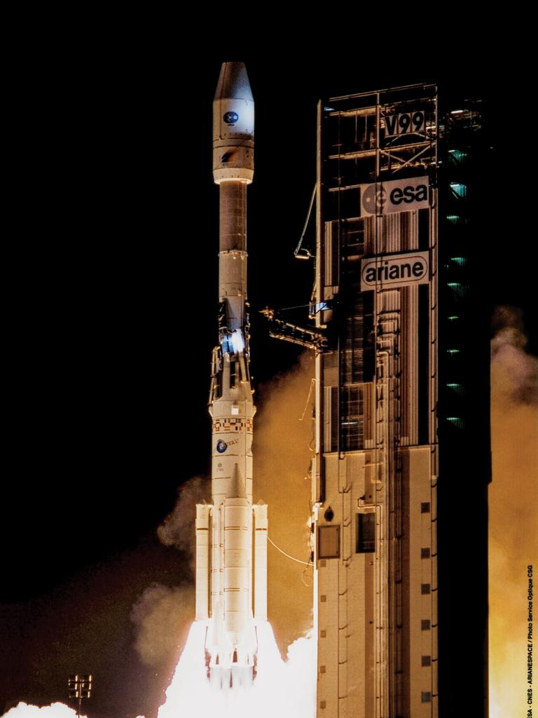
Meteosat-7 was launched on 2 September 1997.

The satellite’s radiometer produced an image of the full disc, or hemisphere, every 30 minutes – in fact four images, one for each of its channels, two visible, one infrared and one water vapour channel. This is referred to as a “slot”. These images have been crucial for National Meteorological and Hydrological Services to help forecast severe weather events, such as storms and tropical cyclones. So, over Meteosat-7’s operational life, it would have taken more than 325,000 slots and transmitted them back to Earth.
By comparison, the Meteosat Second Generation satellites’ imagers have 12 channels and produce a full-disc slot every 15 minutes and a Rapid Scan Service image of Europe every 5 minutes. The upcoming Meteosat Third Generation imager satellites will produce a full-disc image every 10 minutes and a rapid scan image every 2½ minutes.
Some history
Spacecraft Analyst Jean Christian Anthonin has worked with Meteosat-7 since the preparation phase before its launch, right through to the satellite’s end-of-life phase.

His role has involved checking on the satellite’s health and safety on a day-to-day basis, analysing its behaviour and determining procedures to ensure smooth operations. Anthonin was directly involved in Meteosat-7’s decommissioning activities, which required the expertise of a number of teams at EUMETSAT.
“The Spacecraft Team defined which mode the satellite configuration should be in to undertake the manoeuvres requested by the Flight Dynamics Team,” Anthonin said. “We defined which mode the satellite should be in for different tests before re-orbiting and which mode the satellite should be in at different phases before the final switch-off.”
It was crucial that Meteosat-7 was in the correct mode during manoeuvres, so that telemetry was not lost during its journey from the geostationary orbit to the “graveyard orbit”. You can read more about the graveyard orbit and how Meteosat-7 was to arrive there in our previous blog post.
Go east, old man
In 2006, Meteosat-7 was moved from 0°, with its view over Europe and Africa, to 57°E as part of EUMETSAT’s contribution to the Indian Ocean Data Coverage (IODC) service. By then, Meteosat Second Generation had come online and had taken over the prime 0° mission.
Through the IODC service, Meteosat-7’s data and imagery was providing crucial inputs for forecasting severe weather events impacting on communities in this region. But an important, added role for the satellite was to relay early Tsunami warnings.
Responding to the 2004 Tsunami tragedy
On 26 December 2004, a massive undersea earthquake off the coast of Sumatra, Indonesia, caused a Tsunami that inundated coastal communities in 14 countries, killing more than 230,000 people. Analysts suggest many lives could have been spared if people had received early warning.

Out of international efforts to prevent a similar catastrophe came a new role for the IODC satellites. By mid-2005, Meteosat-5, which was then EUMETSAT’s contribution to the IODC service, was receiving information from data collection platforms (DCPs), such as buoys, in the Indian Ocean region and transmitting it to Deutscher Wetterdienst (DWD, the German meteorological office) and the World Meteorological Organization’s Global Telecommunications System (GTS).
Meteosat-7 was to take over this DCP mission but this presented challenges, particularly during the eclipse seasons, Anthonin said. (You can read more about the special measures that must be taken to provide electrical power to satellites’ computers, communications equipment and imaging instruments during eclipses – a regular occurrence when the Earth’s shadow prevents the Sun from reaching the spacecraft’s solar arrays - in our previous blog post.) When Meteosat-7 first moved 57°E, it was unable to provide the DCP service during eclipse, because of an anomaly with one of its on-board instruments, a power amplifier.

But Meteosat-5 was approaching its end of life and the DCP mission had to be maintained without interruption, to be able to relay information warning of a Tsunami. So the decision was made to move Meteosat-6 to 67°E to take over the IODC DCP mission, including the Tsunami early warning role, while Meteosat-7 continued to provide images of the region for weather and climate monitoring purposes.
When Meteosat-6, in turn, was approaching the end of its operational lifetime - it was moved to the graveyard orbit in 2011 - a solution needed to be found to enable Meteosat-7 to provide the DCP service during eclipses. “It’s like if you had only 100 watts available in your apartment,” Anthonin explained. “You have to work out what can be switched off and what is critical in terms of your power supply.” Anthonin said extensive testing and investigations were carried out and, after an anomaly lasting more than 10 years, the power amplifier was able to be turned on again.
This allowed the satellite to be configured in a mode which maintained the DCP mission during eclipses. Incidentally, the same mode was able to be used during the re-orbiting of Meteosat-7 to the graveyard orbit, as it allowed ranging measurements – which tracked the satellite’s precise position – to be done. Now that Meteosat-7 has been decommissioned, Meteosat-8, the first of the Meteosat Second Generation satellites, which was last year moved east to take up EUMETSAT’s part of the IODC service, is continuing this crucial DCP mission.


