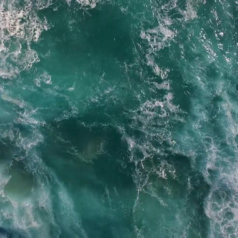
What’s new in the ocean monitoring world
From new satellites to Minecraft models – a lot has been happening in the world of ocean monitoring from space in 2016… here are some highlights.


This year has been an important one for ocean monitoring from space with the launch of the Jason-3 satellite on 17 January 2016 and, just short of a month later, the launch of the Copernicus Sentinel-3A satellite on 16 February.
14 January 2021
02 December 2016

Continuing the ocean theme, EUMETSAT has also run its first massive open online course focused on ocean monitoring from space and, for the younger audience, there is an ongoing Minecraft ocean satellite-building competition.
The data collected by TOPEX-Poseidon and the Jason satellites have helped scientists to track global sea level rise since 1993 at a rate of 3 mm a year.
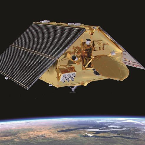
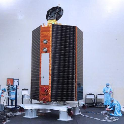
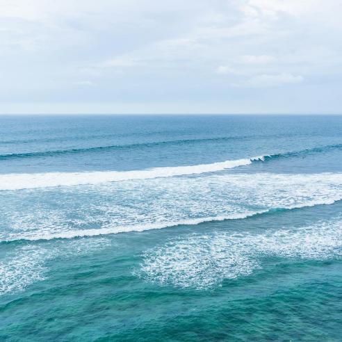
Jason-3 - monitoring sea surface height
Starting with Jason-3, this satellite monitors sea level rise, wave height and wind, providing data for climate monitoring, weather and ocean forecasting, and many other uses. Jason-3 continues a long time series of global sea level measurements that began in 1992 with the TOPEX-Poseidon satellite and continued with Jason-1 and -2. After Jason-3 comes to the end of its working life, the Jason-CS/Sentinel-6 satellites will then take over the sea level time series.

Jason-3 is now delivering the full suite of ocean products and it has now taken over from Jason-2 as the official reference mission, which means that it is the reference source for calibrating sea surface height measurements from other ocean altimetry satellites/instruments.
Find out more about Jason 3 here...
Jason-3 is the result of an international partnership between EUMETSAT, the French Space Agency (CNES), the US National Oceanic and Atmospheric Administration (NOAA), the US National Aeronautics and Space Administration (NASA), and the European Union, which funds the European contribution to Jason-3 mission operations as part of the European Commission's Copernicus Programme.
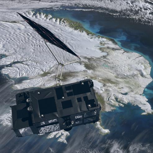
Copernicus Sentinel-3 – ocean colour, surface height and temperature
The ocean monitoring satellite Sentinel-3A was launched a month after Jason-3 and it is also now on the path to delivering its full range of products.
What does Sentinel-3 do?
The Sentinel-3A satellite carries a suite of instruments to monitor different aspects of the oceans such as the temperature and colour of surface waters, sea surface height and sea ice thickness. It will also monitor land temperature and colour, and aerosols. The Sentinel-3 mission is based on a constellation of two identical satellites operating in a sun-synchronous, polar orbit at an average altitude of 815 km. In addition to operating the Sentinel-3 satellites and delivering the marine data and products, EUMETSAT will also operate and deliver products from the Sentinel-4, and -5 instruments onboard Meteosat Third Generation and Metop-Second Generation respectively, and the Sentinel-6 satellites.

How will Sentinel-3 data be used?
Sentinel-3 marine data will be used for ocean monitoring and forecasting, weather forecasting (land and marine), management of marine ecosystems, monitoring of water quality and pollution, sea ice charting services and ship routing, and climate monitoring. On land, the satellite will map land use, monitor vegetation state, measure the height of rivers and lakes, and monitor wildfires.

Access Sentinel-3 ocean products
Ocean MOOC
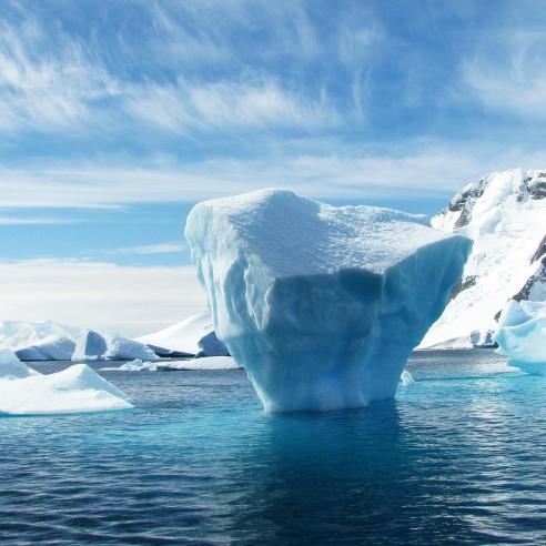
To coincide with the availability of ocean products from Sentinel-3, EUMETSAT organised a massive open online course in October/November on the theme of monitoring the oceans from space. The MOOC was funded by the EU’s Copernicus Programme and explained how to access and use marine Earth observation data and information from Copernicus/EUMETSAT missions and the Copernicus Marine Environment Monitoring Service (CMEMS). Topics covered on the course include why satellite data are used; oceans and climate; weather and hazards such as tropical storms, storm surges and icebergs; through to monitoring water quality and oil spills. During its five week run the MOOC attracted over 5500 participants and was so popular that we will re-run it in 2017.
Build your own ocean satellite?
Also on the oceans theme, and this time focusing on the younger audience, we launched a Minecraft ocean satellite building competition. The goal is to build the best model of the Sentinel-3 or Jason-3 ocean-monitoring satellites, or get creative and design a completely new satellite and/or ocean monitoring system with buoys, automatic robots etc. Find out more.