Image of the week: Hurricane Kiko
Watching our Earth from space

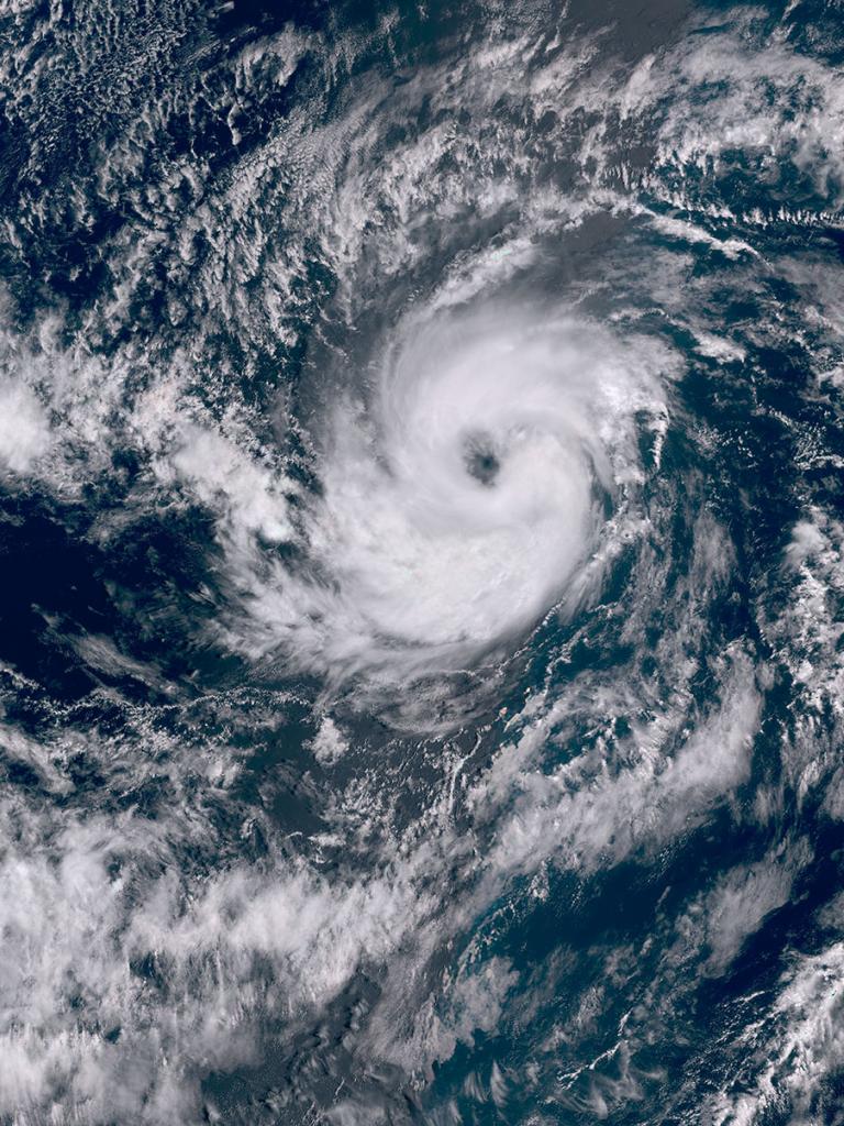
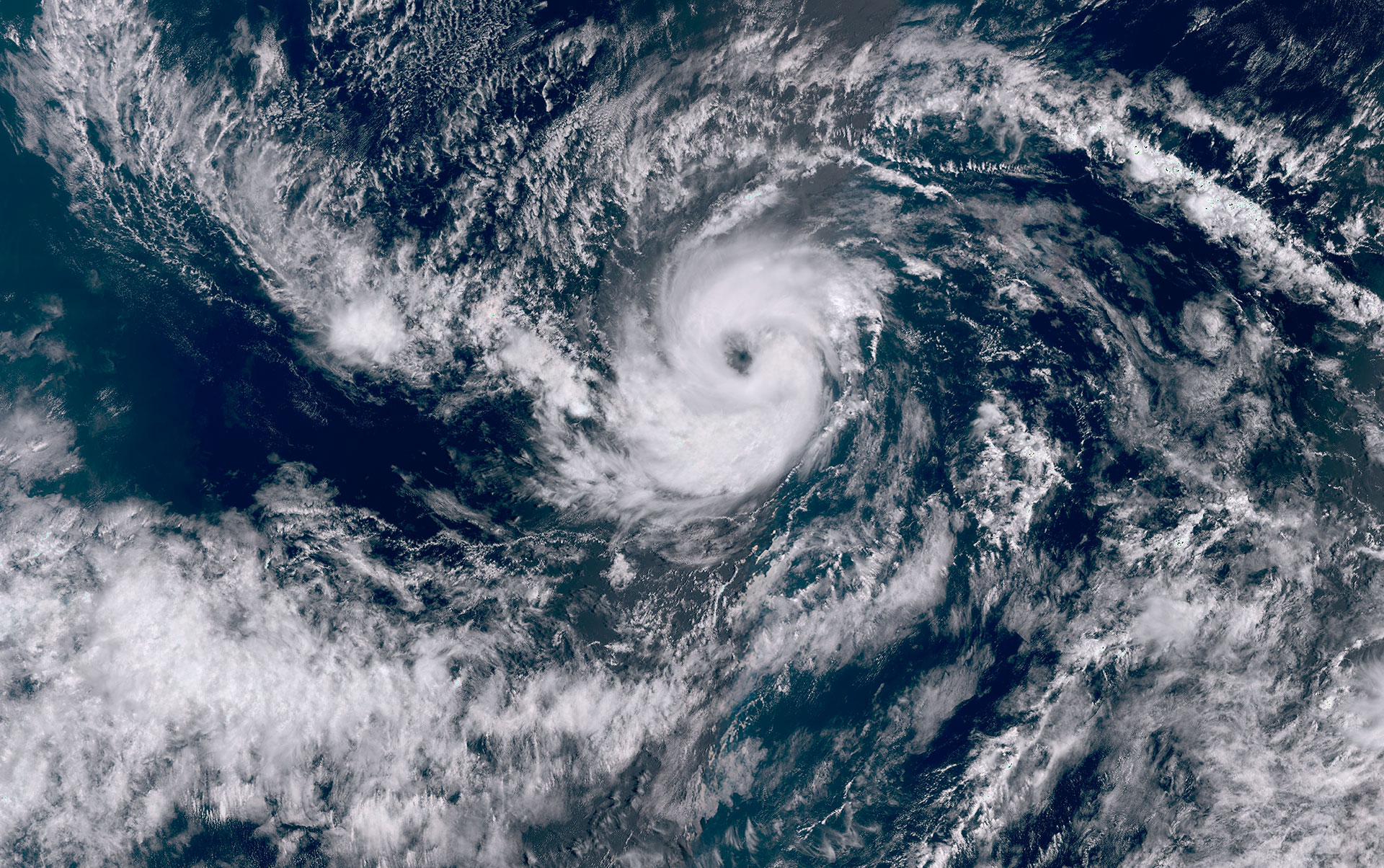
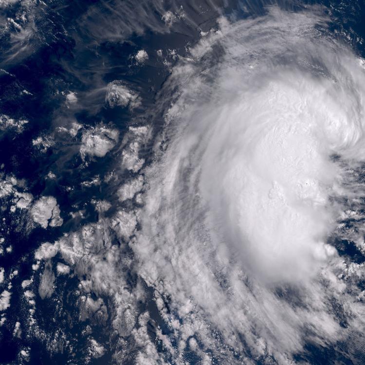
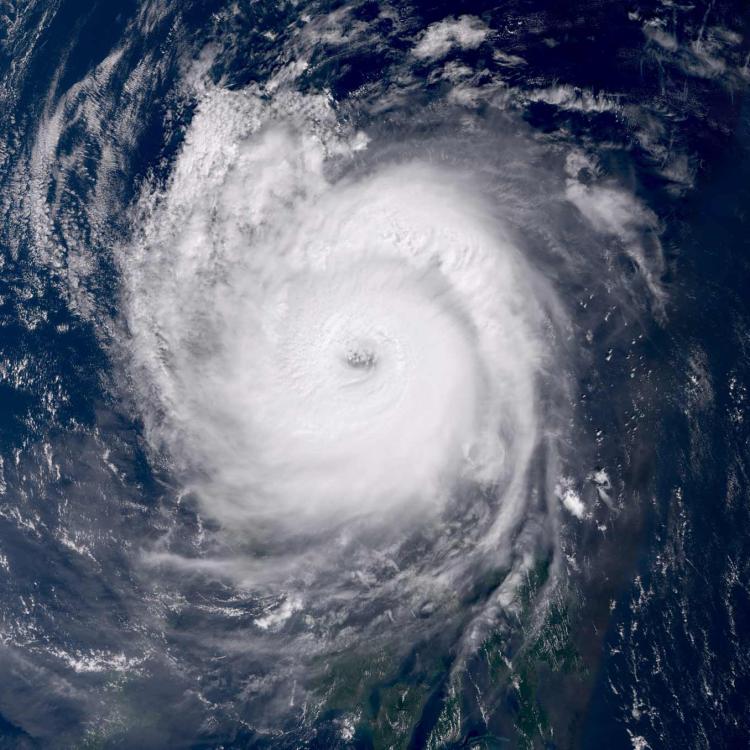
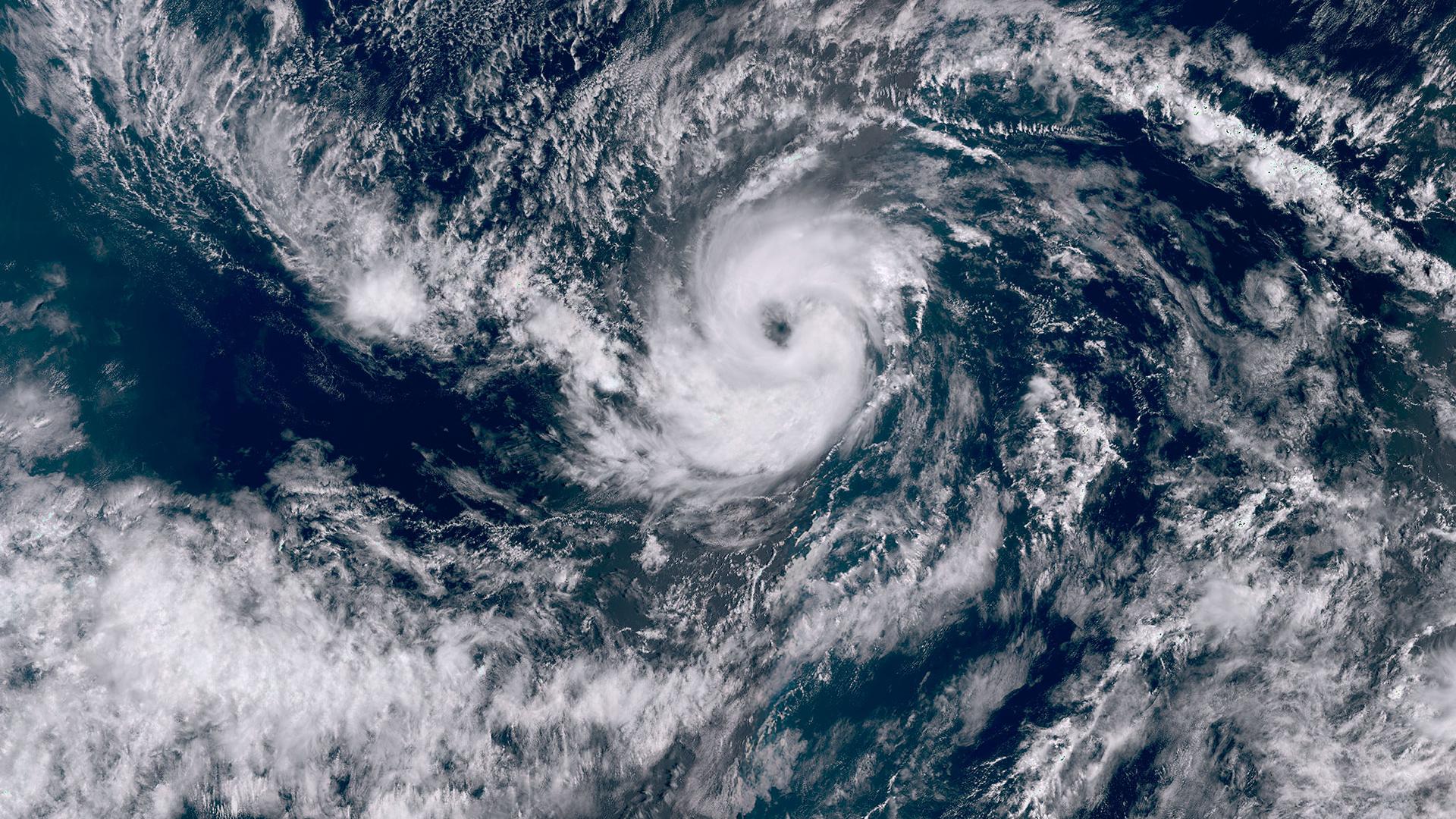
This week’s image is of Hurricane Kiko. The image was captured on 2 September by one of the Copernicus Sentinel-3 satellites.
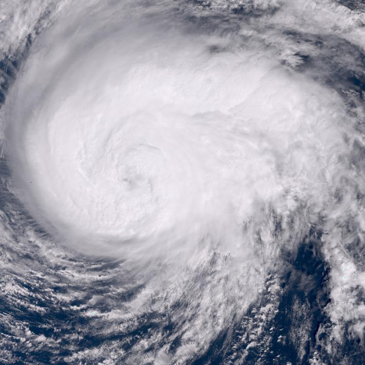
Hurricane Kiko is a category 2 hurricane (02/09/25) with maximum sustained winds near 105mph (165kmh) and is located well east-southeast of the Hawaiian Islands.
The US National Hurricane Center reported that the hurricane was moving in a westerly direction at 7 mph (11kmh) and was expected to strengthen.

Hurricane Image
The main image was captured by the OLCI instrument onboard one of the Copernicus Sentinel-3 satellites on 2 September 2025.
EUMETSAT operates the Sentinel-3 satellites, in cooperation with ESA, and delivers the marine and atmospheric data on behalf of the European Union.
More info
Follow Hurricane Kiko’s progress - National Hurricane Center
Visualise Sentinel-3 data with EUMETView or WEkEO
Operating Sentinel-3
Access weather data from the EUMETSAT User Portal
