Toward a more climate-resilient Europe
The European Commission’s Dr Mauro Facchini and EUMETSAT’s Lieven Bydekerke highlight the key activities of the Copernicus programme
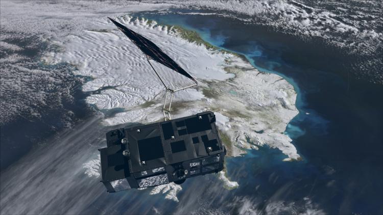
Copernicus, European Commission

Copernicus, European Commission
With EUMETSAT’s support, the Copernicus programme illuminates important features of the environment and climate.
“The data reflect changes in the air, the oceans, forests – many aspects of our planet are suffering from climate change,” said Mauro Facchini, Head of Unit for Earth Observation in the European Commission Directorate-General for Defence Industry and Space.
“We consider EUMETSAT to be a front-runner when it comes to operating Earth observation satellites. EUMETSAT is responsible for operating four of the six families of Sentinel satellites – Sentinel-3, Sentinel-4, Sentinel-5, and Sentinel-6. EUMETSAT processes and distributes data from all those satellites, playing an important role in making Copernicus satellite data available to a wide variety of people.
“EUMETSAT supports the Copernicus programme in many ways – not just by providing data or operating the satellites, but also through developing the Copernicus WEkEO Data Access platform to distribute these data to the users. I think that this explains why the cooperation between EUMETSAT and Copernicus is so solid and I have never regretted that EUMETSAT was chosen to do this job.”
Credit: European Commission
Monitoring the ocean and atmosphere
With its roots in the Baveno Manifesto in 1998, and further crystallised in a 2014 European Union (EU) Regulation, the Copernicus Programme is the world’s largest Earth observation programme.
“The idea of Copernicus, initially called the Global Monitoring for Environment and Security (GMES), started at a meeting Baveno, Italy, in 1998 by the European Space Agency (ESA), EUMETSAT, the European Commission and Europe’s national space agencies,” said Lieven Bydekerke EUMETSAT’s Copernicus Programme Manager. “Shortly after, Europe looked to Copernicus to define six families of Sentinel satellites.”
In addition to Copernicus Sentinel-1 and Sentinel-2, which became the responsibility of ESA, two ocean-monitoring and two atmospheric-monitoring missions were established, for which EUMETSAT was entrusted to share responsibility with other partner agencies.
“In a way, Envisat gave birth to Sentinel-3, which provide ocean observations, including sea surface temperature and ocean colour, as well as some products that help with detecting fires,” he said.
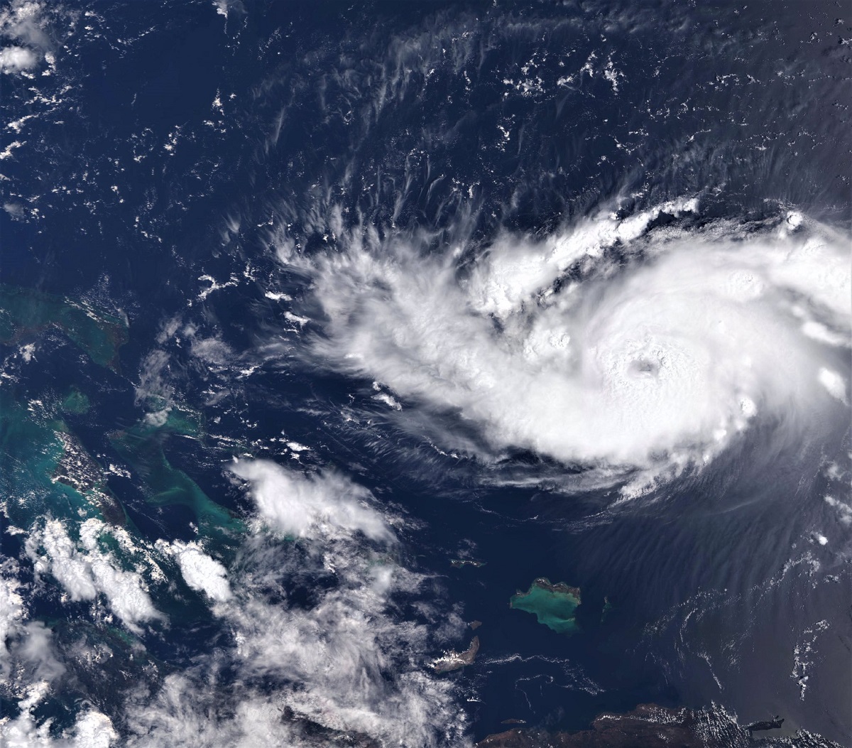
Credit: Copernicus, European Commission
“Then Copernicus identified the need for atmospheric measurements including those used to assess air quality and trace gas concentrations and so on. Together with European Commission and ESA, EUMETSAT worked with its member states to define instruments that specifically look at air quality and trace gases in the atmosphere and actually put them on EUMETSAT satellites. This became the Sentinel-4 and -5 missions, the former in geostationary orbit, the latter in polar orbit.”
In addition, EUMETSAT collaborates with the European Commission, ESA, the National Aeronautics and Space Administration (NASA), and the National Oceanic and Atmospheric Administration (NOAA) on Copernicus Sentinel-6, an ocean-monitoring mission that measures global sea level rise, significant wave height, and wind at the ocean surface.
Supporting policy decisions
“Copernicus brings important Earth observation data to the world, providing transparency to current issues relating to the environment and the climate,” said Bydekerke.
“There is no other system that offers data so widely across so many different areas. You can see how the programme affects the way resources are managed, the way people work, and the way policy makers take decisions.”

The contributions of the Copernicus programme are highlighted in a number of European Commission policies, from the 2020 strategy to reduce methane emissions in the EU to the 2021 zero pollution action plan and the 2024 air quality directive.
“Copernicus is improving the implementation of new policies by reducing the time needed to produce reports,” said Facchini.
“Earth observation can really help with that by making it possible for decision makers to obtain information quickly. Copernicus can help generate easy-to-digest data fast. These data are also available across Europe, so policy makers can more easily compare different areas. This also gives them more uniformity of reporting, which is important.”
More missions bring continuity, even more data
Copernicus and EUMETSAT look forward to cooperating on a variety of upcoming Sentinel expansion missions focused on the ocean, cryosphere, and atmosphere.
Later this year, the second of the Copernicus Sentinel-6 satellites, Sentinel-6B will be launched. This mission provides continuity in the more than 30-year-long series of global sea level measurements collected by previous missions. In addition, it serves as the reference mission for altimetry. Because of the remarkable precision of the instrument for measuring sea level height, this mission has been chosen as the one against which all the world’s altimeters are calibrated.
Further down the line, the Copernicus CO2 Monitoring (CO2M) mission, to be launched in 2027, will make it possible to measure carbon dioxide and methane caused by human activity, such as power plants. In addition, two missions are set for launch near the end of the 2020s: the Copernicus Imaging Microwave Radiometer (CIMR) mission and the Copernicus Polar Ice and Snow Topography Altimeter (CRISTAL). Both missions will provide high-resolution measurements of sea ice at the poles and features of the global ocean, with CIMR measuring sea surface temperature and salinity and CRISTAL observing sea level and wave heights.
From operating satellites to providing and distributing the data they collect, EUMETSAT plays a key role in supporting the Copernicus programme in its ongoing mission to monitor the planet.
“Citizens will ultimately benefit from a healthier, safer, and more climate-resilient Europe,” said Facchini. “I have children and so I like to think that, hopefully, what I am doing today might help to improve their future even a little bit.”
Author:
Sarah Puschmann