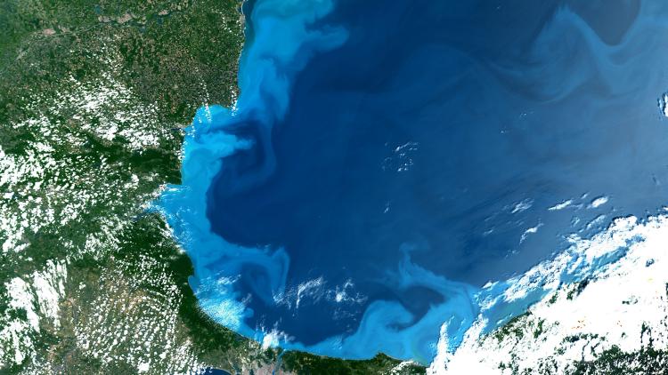
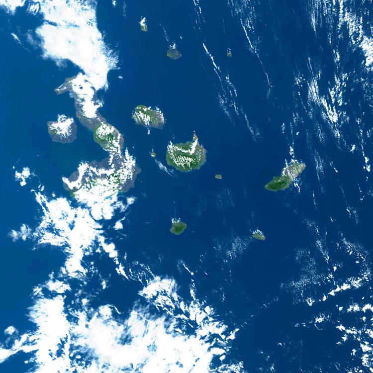
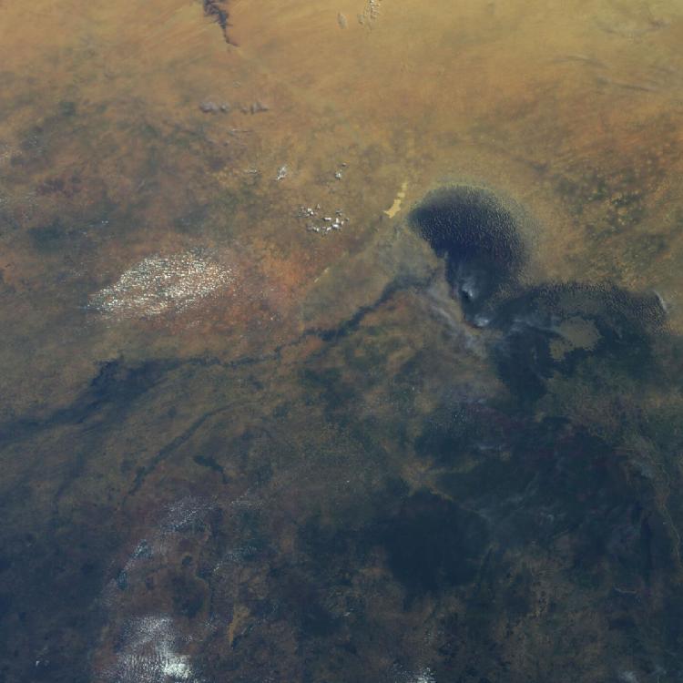
Hudson Bay is located in northeastern Canada and is the world’s second-largest bay - after the Bay of Bengal. It covers an area of roughly 1.2 million square kilometres.
In the winter months the bay freezes over and becomes an important feeding habitat for polar bears that hunt seals out on the ice.
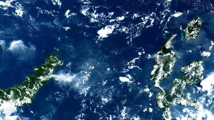
On the top left of the image the Winisk River can be seen, while on the right of the image the land area forms part of the Polar Bear Provincial Park.
This is Ontario’s largest and most northerly park providing a home for caribou, moose, geese and as many as 200 polar bears, which use the coastal areas at certain times.
Polar bears are under threat from climate change, which is causing sea ice to form later and melt earlier. This forces polar bears onto land for longer periods, impacting their ability to hunt seals and leading to a decline in body mass.
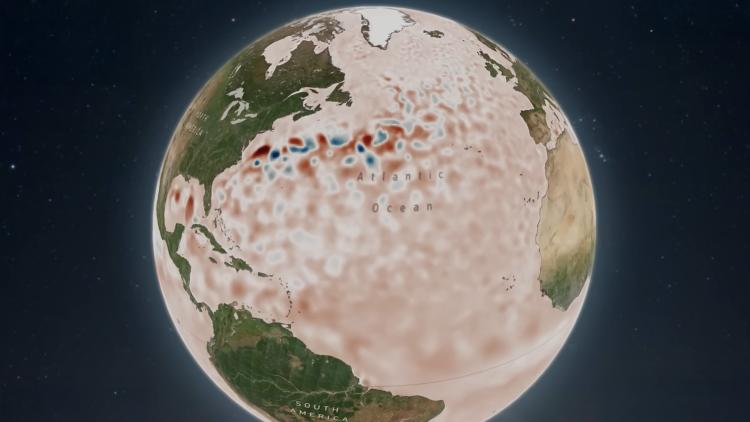
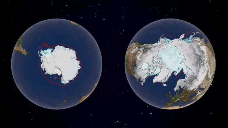
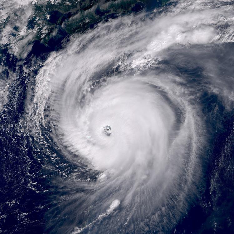
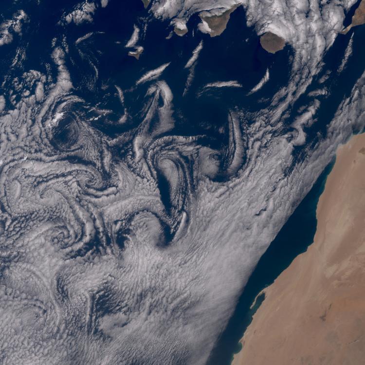
Climate change and the Arctic
The Arctic region as a whole is undergoing rapid climatic and environmental change, most notably in the spatial extent and thickness of the sea ice.
According to the latest European State of the Climate report, 2024 was the third warmest year on record for the Arctic as a whole and the fourth warmest for Arctic land. The Arctic has been warming at a rate far above the global average since the 1990s, causing significant reductions in snow and ice coverage.
EUMETSAT’s Ocean and Sea Ice Satellite Application Facility (OSI SAF) monitors Arctic sea ice and provides daily sea ice products and a sea ice index. The index covers both the sea ice extent and area over the last 40 years, and it is continuously updated.