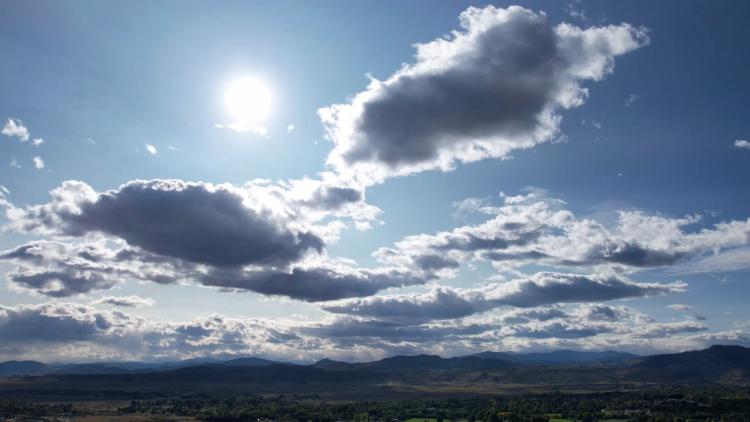
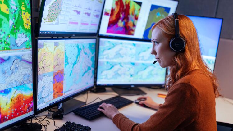
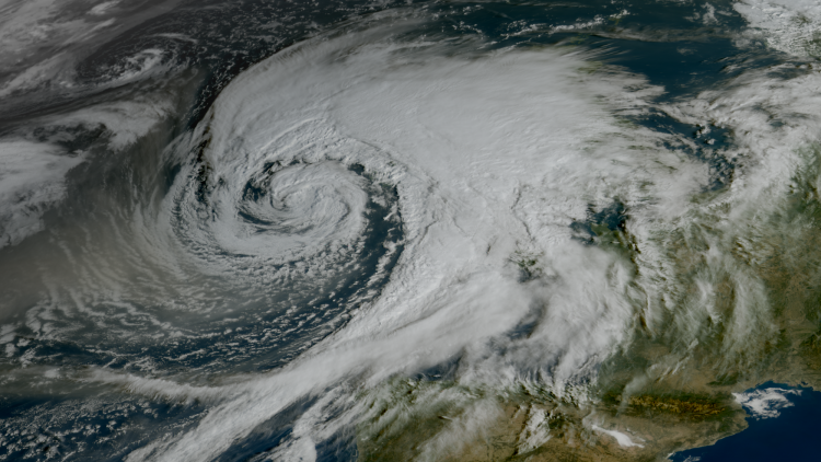
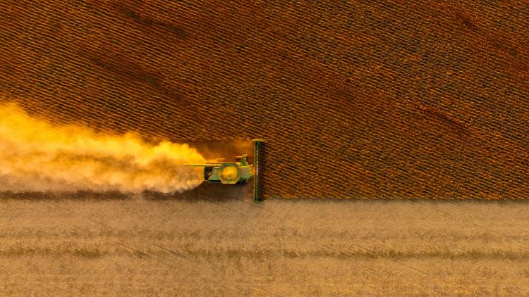
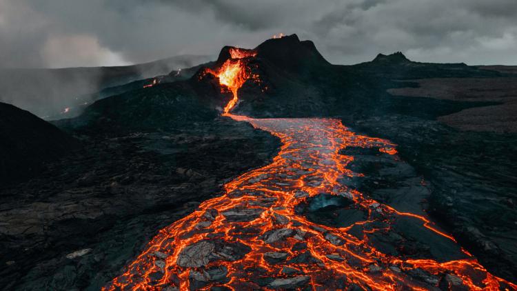
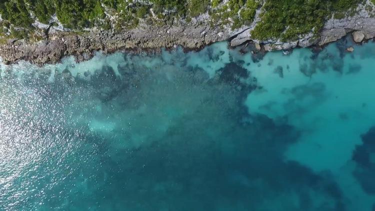
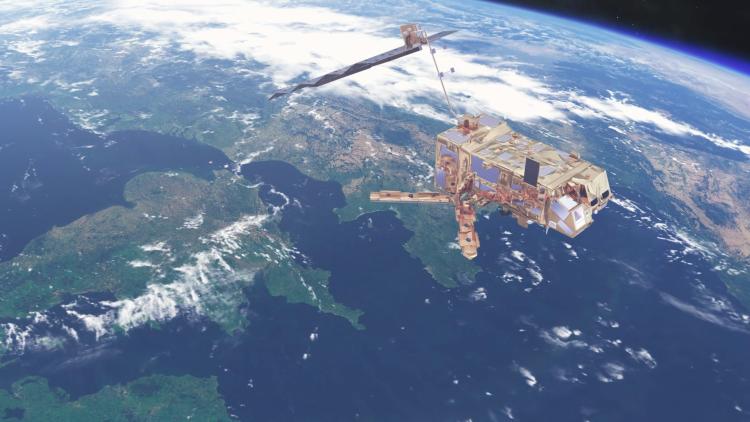
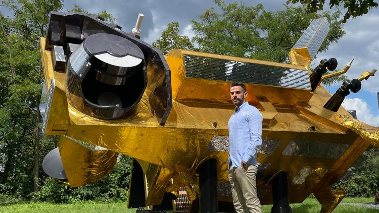
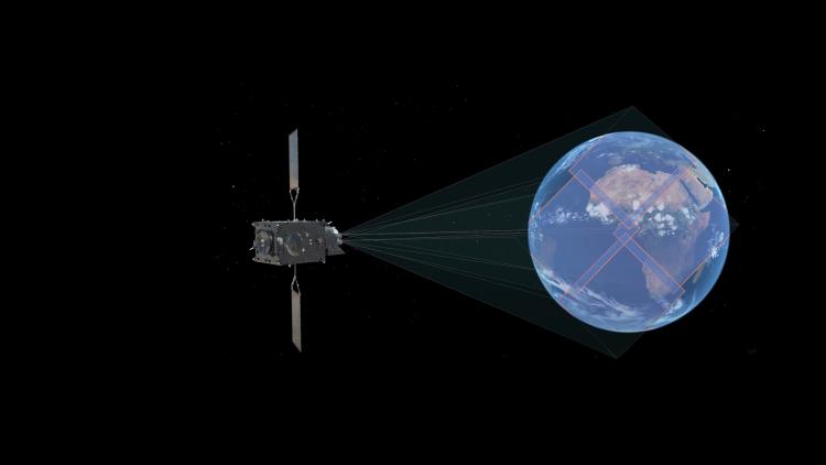
Latest news and features Discover the latest news and feature articles Apply Refine results Type Article Blog Post Features Categories Satellites Features - All Atmospheric composition Climate Land Ocean Weather Data Education Science Organisation Meteosat Metop Sentinel Tags ASCAT FCI International Launch LI MSG OLCI Partners Satellite Applications Facility (SAF) SEVIRI SLSTR SRAL MTG Sentinel-3 Sentinel-6 Orbit Training Users Metop-SG ICI SCA Visiting Scientists Research Fellows Africa Altimeters Atmosphere Climate Monitoring Copernicus Events Hackathon IASI Metop-C NWP Ocean Colour Oceans Features IODC Data access Metop-A Metop-B Metop Climate WEKEO Europe Himawari Polar Indian Ocean Features article MTG-i1 mini-profile Date 2026 2025 2024 2023 2022 2021 2020 2019 2018 2017 2016 SHOW ALL 83 results Features Behind the data: observing California’s toxic algae from space Satellite observations shed light on a toxic algal bloom in California. Features Behind the data: monitoring rising seas Altimetry expert Vinca Rosmorduc explains sea level rise and why it is so important to monitor. Features From space to safety From space to safety: how MTG data is used to protect lives and livelihoods in France. Features Into orbit Metop Second Generation A1 takes to the skies. Features Spotlight on an instrument: IASI-NG This instrument will provide observations crucial for atmospheric composition monitoring and more. Features Seeing beyond the visible How microwave data from Metop-SG will be used to improve life-saving forecasts. Features Behind the data: algae as sentinels of change Dr Thomas Jackson explains how satellite images can be used to identify ocean algae. Features Putting the elements together EPS-SG’s Fran Martínez Fadrique explains his role as Programme Manager. Features Beyond boundaries EPS-SG’s Davide Castellazzi explains his role as system manager. Features Preparing the users EPS-SG’s Dr Sreerekha Thonipparambil gets people ready to use this mission’s data. Features An information playground EUMETSAT’s Dr Rosemary Munro explains her role as EPS-SG Programme Scientist. Features Tracking storms here and now How forecasters at the Finnish Meteorological Institute put data from EUMETSAT programmes into action. Features A fix for the Meteosat Third Generation – Imager 1 satellite A new approach has been implemented to calibrate the Flexible Combined Imager Features Towards early warnings for all in Africa How data from EUMETSAT’s next-generation satellite programmes contribute to early warning platforms for severe weather and climate events in Africa. Features Behind the data: rescuing rock lobsters from a red tide Satellite data were used to monitor a red tide event in South Africa in early 2022. Features The emission missions How EUMETSAT’s satellite missions help shine light on the climate crisis. Features Facing the elements in Iceland How EUMETSAT data is used to support forecasts and hazard warnings in Iceland. Features Cutting through the noise Shin Koyamatsu homes in on the most meaningful infrared sounder data Features Behind the data: detecting marine heatwaves Dr Rob Roebeling discusses the importance of satellites in detecting marine heatwaves Features Learning in the extreme Using new machine learning methods to further the potential of EUMETSAT data Features Catching the Sun Supporting UV forecasts with data from EUMETSAT’s Meteosat programme Features The ice cloud cartographer New Ice Cloud Imager will fill in key gaps in weather forecast and climate models. Features Setting sights north Collaboration between countries in Northern Europe enables specialists to get the most out of data delivered by EUMETSAT’s programmes Features Animations from Europe's first Lightning Imager Impressive first animations from the Lightning Imager Load More