

26 February 2026
20 April 2020
Operational oceanography, like operational meteorology, is about delivering relevant and reliable information services to citizens and decision-makers. This information is concerned with the past, current and future state of the seas and ocean, at global, basin and coastal scales.
This includes systematic and long-term routine observations of the ocean and surface weather, real-time processing and distribution of data products, their ingestion into ocean prediction systems exploited by service providers like the Copernicus Marine Environment Monitoring Service and, ultimately, timely delivery of information services to users.
Application areas include safety, shipping, fisheries, management of marine resources, coastal ecosystems and marine pollution, and off-shore industry. A recent European study estimated that if all economic activities that depend on the sea are counted, then the European Union's 'blue' economy represents 5.4 million jobs and a gross added value of just under €500 billion per year.
EUMETSAT'S Contribution
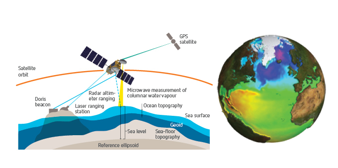
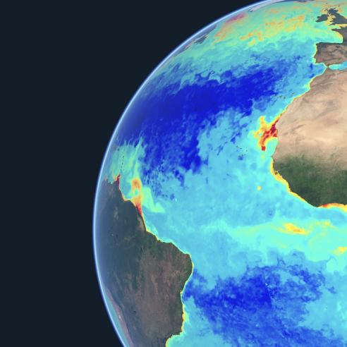
Because the global ocean is even more difficult to observe in situ than the atmosphere, the development of operational oceanography relies on ocean observing satellites. These satellites are unique sources of continuous, highly accurate global measurements of the physical and biological state of the ocean (sea state, sea level, ocean currents, sea surface temperature, ocean colour and sea ice) and of the atmospheric parameters (ocean surface wind, air-sea fluxes, precipitation) that drive the ocean circulation.
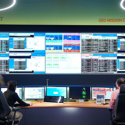
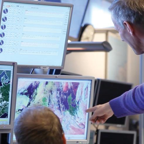
This is the rationale behind EUMETSAT's role. Our central facilities in Darmstadt, Germany, and our Satellite Application Facility on Ocean and Sea Ice (OSI SAF) already deliver a range of ocean products extracted from the observations of the Jason-3 high precision altimetry mission, Copernicus Sentinel-3 and the Metop and Meteosat satellites and our partners’ missions.
A Major Customer: The Copernicus Marine Service

Copernicus aims to ensure operational monitoring of the atmosphere, oceans and continental surfaces, and to provide reliable, validated information services for a range of environmental and security applications.
The Copernicus marine service provides regular and systematic core reference information on the state of the physical oceans and regional seas. The observations and forecasts produced by the service support all marine applications.