
Explore An Ocean Of Data Without Getting Your Feet Wet At A Dataviz Hackathon @EUMETSAT
09–11 June 2017

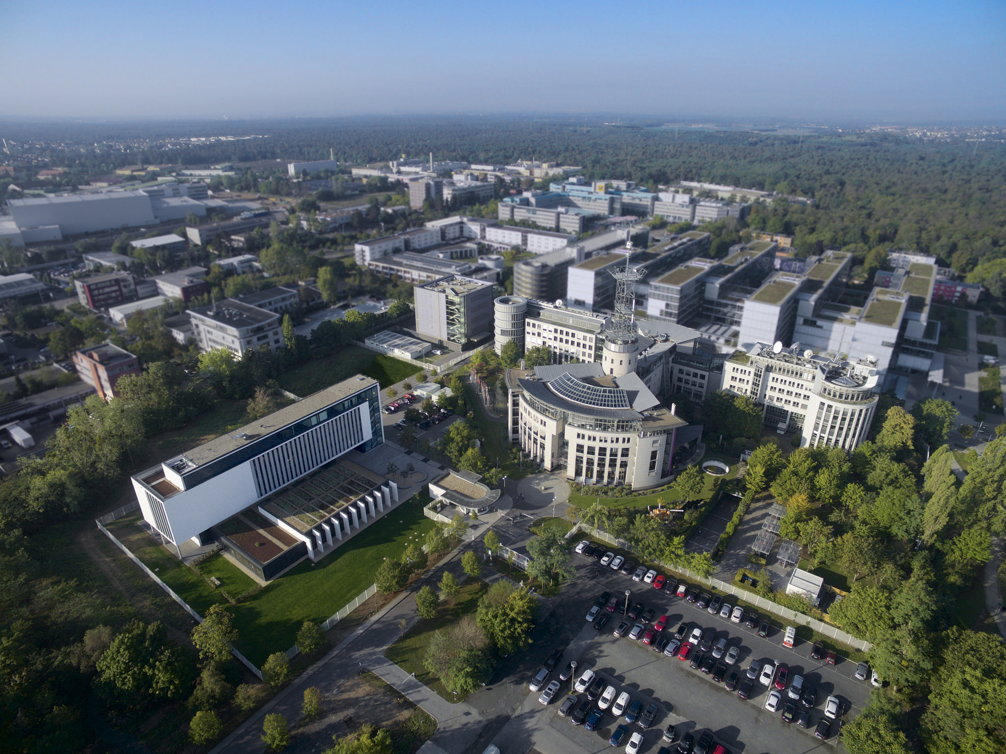
Join scientists and engineers at EUMETSAT’s headquarters in Darmstadt, Germany, for a weekend exploring ocean data on 9-11 June 2017.
09 November 2020
09 June 2017
Keeping a constant check on the health of the oceans, Earth observation satellites record global sea surface temperature, wave height, sea level rise, ocean winds, sea ice and even ocean colour.
These data are then used for ocean monitoring and forecasting, weather forecasting (land and marine), management of marine ecosystems, monitoring of water quality and pollution, sea ice charting services and ship routing, and climate monitoring.
As part of our activities for the EU’s Copernicus Earth observation and monitoring programme, EUMETSAT is delivering huge quantities of marine data to users from the ocean-monitoring Sentinel-3 and Jason-2 and -3 satellites, and our fleet of weather satellites.
These data are free and available online to you.
And now we are inviting you to come to EUMETSAT, learn more about ocean data and do some amazing things with it.
Register with DataViz to take part in the hackathon here .
DataViz Hackathon challenges - what can you do with Copernicus marine data?
Here are some examples to spark your creativity:
Challenge 1 - USEFUL
Take Copernicus marine data and use it for something useful – for example can you use sea surface temperature data to help people to make decisions about swimming, use ocean colour data to predict harmful algal blooms , use wave height data to build an app for surfers/seafarers, or combine Earth observation data with data from other sources?
Challenge 2 - BEAUTIFUL/sTUNNING/EDUCATIONAL
Take the data and visualise it in new and creative ways - perhaps even in augmented reality systems e.g., Meteo AR . Can you use the data to inspire a classroom to learn about the marine environment?
Challenge 3 - OPEN
Use our APIs and make it easier for people to access data – for example build an interface to Sentinel-3 data in QGIS to help people use the data. Build a python or R library to access and manipulate the data. Make a Jupyter notebook to help people explore the data.

ACCESSING DATA
All ocean data (sea surface temperature, wave height, winds, sea ice, sea level rise, ocean colour, etc)
Copernicus data (sea surface temperature, ocean colour, wave height, etc)
CMEMS products (huge catalogue of products and model output)
EMDAT – a database of disasters
And of course you can bring your own data!
Other useful marine data sources:
Ocean Biogeographic Information System
Who is the hackathon for?
The hackathon is open to everyone interested in the use of Copernicus ocean data. We are looking for people with a range of backgrounds including developers, GIS data experts, data miners, scientists and anyone interested in visualising data.
The hackathon is also a chance for us to meet you – these are new data, and we want feedback from people who are using the data so that we can make them easier to access and use.
Why get involved?
There are lots of reasons to be part of the DataViz Hackathon @EUMETSAT. Here are a few:
• Learn how to access huge amounts of free Earth observation data
• Get to know more about the Copernicus programme and EUMETSAT
• Visit EUMETSAT’s control room where we operate Europe’s weather satellites and the Copernicus-3 marine satellite
Eligibility
• Participants – individuals (over 18 years) in teams of three to five people
• Teams – register your team or make a team on the day. Participation is fully voluntary and participants are not entitled to any form of compensation
The judges:
Hayley evers-king

Hayley is a marine scientist using satellite ocean colour data to develop applications for society around the topics of aquaculture, coastal water quality, and climate change. She is very interested in synergy between satellites and other sources of data, and applications which can be used to support sustainable development. She loves to find new ways to communicate about science whether through social media, online courses, art, poetry, or making models of satellites out of cake!
Guillaume aubert

Guillaume is the web services engineer in the maintenance Data Service team and is responsible for the maintenance and evolutions of the EUMETSAT Web Services. He leads and manages a team responsible for the evolutions of Earth Observation Portal handling user registrations to EUMETSAT data access services, Product Navigator the EUMETSAT product catalogue and EUMETView and the Image Gallery Service with current web visualization services. He is also responsible for the maintenance and evolutions of the underlying Image Processing and Presentation Service creating the different product visualizations put on the web.
Mark higgins

Mark is responsible for all the user training activities of EUMETSAT.
He is particularly keen on finding ways to make it easier for people to work with EUMETSAT data.
EUMETSAT and Copernicus
EUMETSAT is an independent intergovernmental organisation supported by 30 Member States . We operate Europe’s weather satellites and also provide data, products and support services to Copernicus with a focus on the oceans, atmosphere and climate.
This involves delivering Earth observation data to Copernicus from the Sentinel satellites, from our own Metop and Meteosat missions, from the ocean-monitoring Jason-2 and Jason-3 satellites, and from missions of our international partners (e.g. USA, China, India and Japan).
We are responsible for operating the Sentinel-3 satellites, with ESA support, and delivering the marine data and we will also operate and deliver products from the Sentinel-4 , and Sentinel-5 instruments, and the Sentinel-6 satellites.
Find out more about our role in the Copernicus programme.
The Copernicus Marine Service
The Copernicus Marine Environment Monitoring Service (CMEMS) provides regular and systematic core reference information on the state of the physical oceans and regional seas. The observations and forecasts produced by the service support all marine applications.
