Image of the week: A new view of global ozone from space
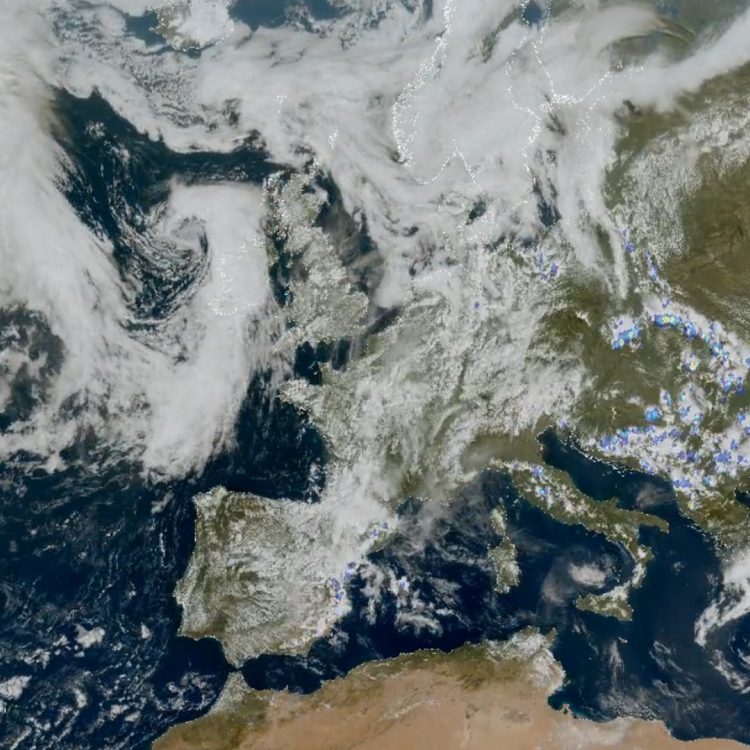
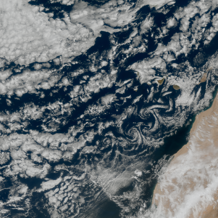
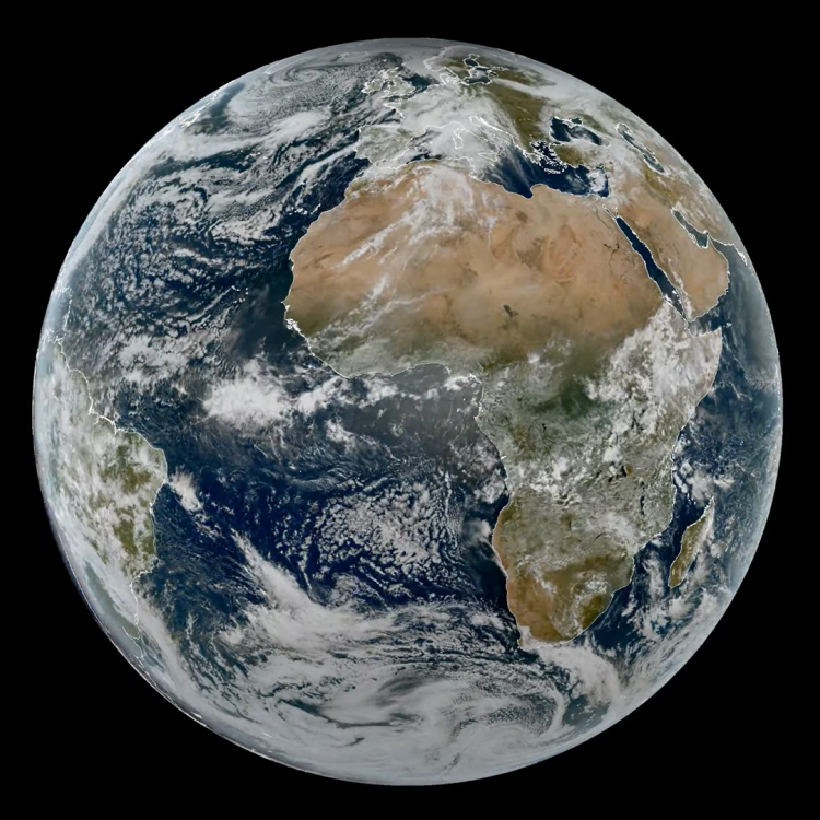
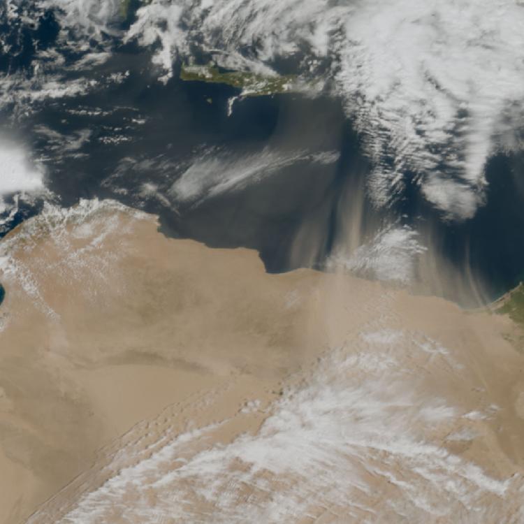
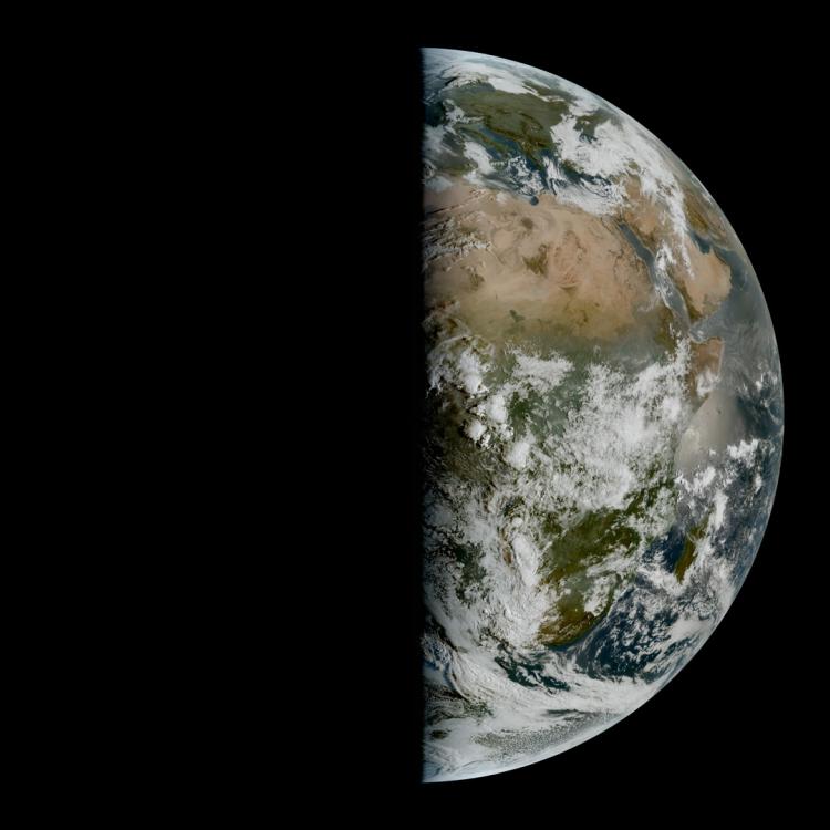
Watching our Earth from 36,000km
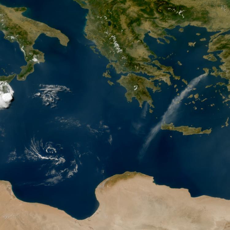
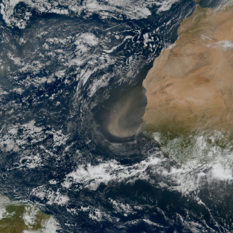
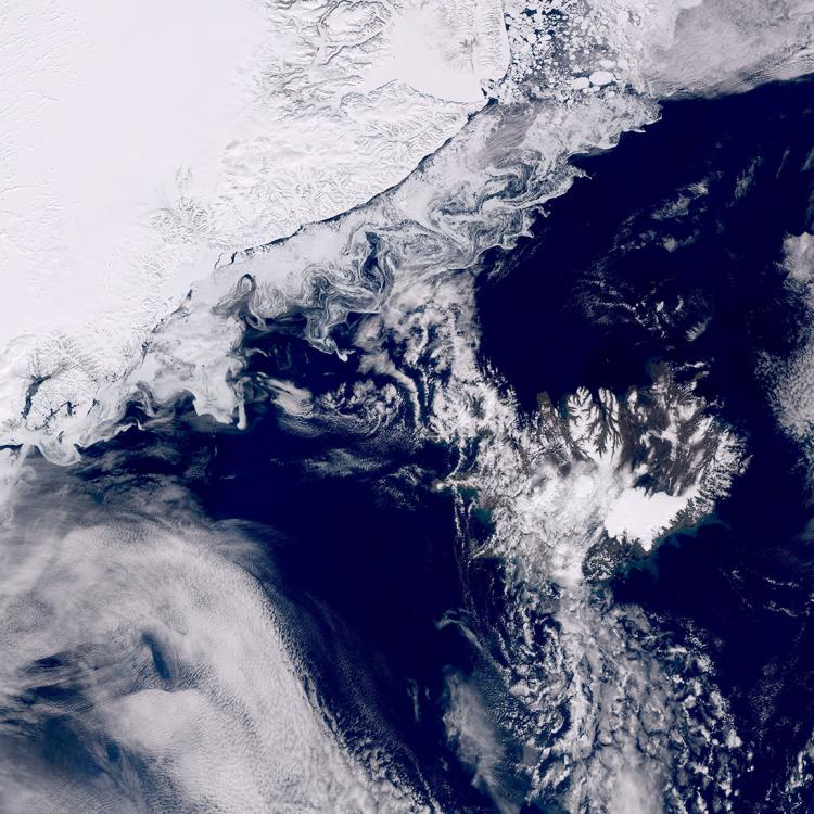
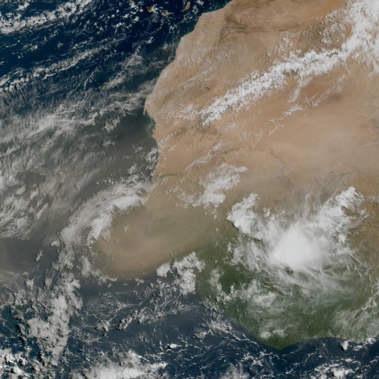
This week’s image of the week is of global ozone as captured by the new Sentinel-5 instrument mission, which is onboard EUMETSAT’s polar-orbitting Metop-SGA1 satellite.
Copernicus Sentinel-5 will monitor air quality, trace gases and aerosols at high spatial resolution with daily global coverage. It will work together with other advanced instruments on Metop-SGA1 — including IASI-NG, METimage, and 3MI — to deliver an unparalleled view of Earth’s atmosphere. The Metop-SGA1 satellite was launched in August 2025.
The image shows a map of global ozone(O₃)and the hole in stratospheric ozone above Antarctica can be seen with lower column density values (dark blue colour). Stratospheric ozone is a protective layer in the atmosphere that shields life on Earth from harmful ultraviolet radiation.
Sentinel-5 observations will be integrated into products from the Copernicus Atmosphere Monitoring Service (CAMS) to provide important insights on trace gases and pollutant concentrations worldwide.
Global ozone image
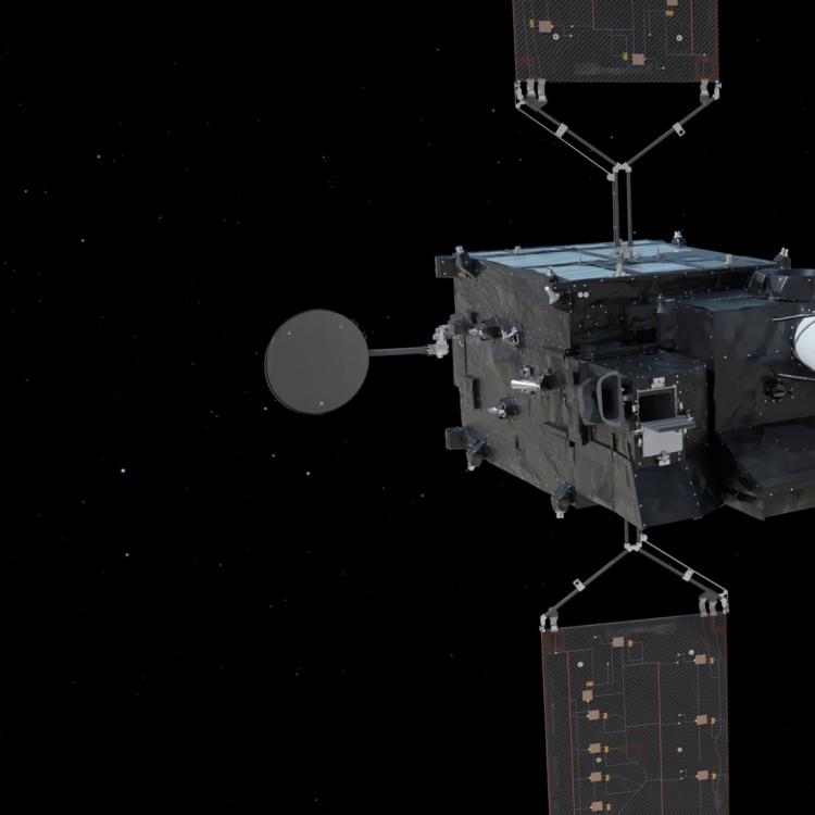
This data image was captured by the Sentinel-5 Ultraviolet Visible Near-infrared Short-wave infrared (UVNS) spectrometer onboard Metop-SGA1.
More info
What is the current state of the ozone layer?
EUMETSAT's Metop-SG satellites and instruments
The Copernicus Programme and Copernicus Atmosphere Monitoring Service
Daily views of ozone from Metop-B and -C
View atmosphere data from the AC SAF
Access atmosphere data via EUMETSAT user portal
Visualise weather and atmosphere data with EUMETView