Smoke from Chilean wildfires, Sentinel-3, 18 January 2026

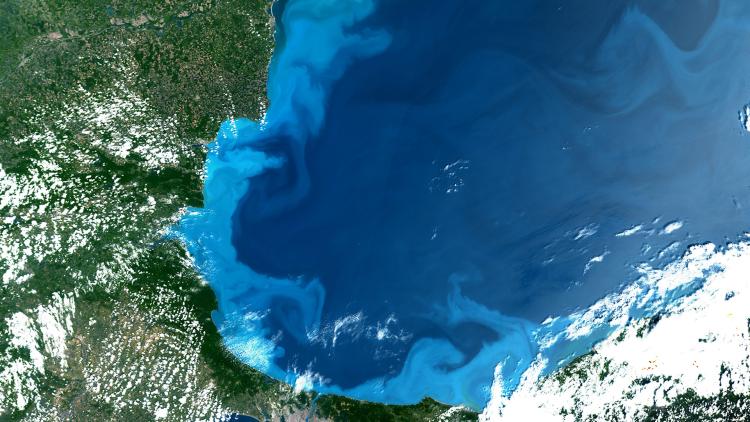
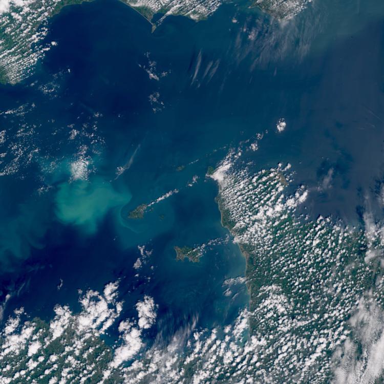
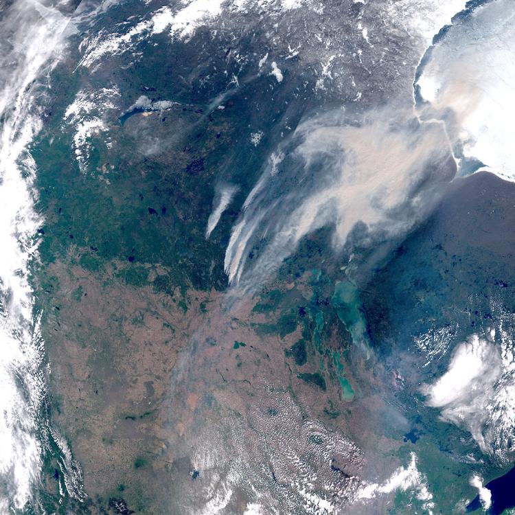
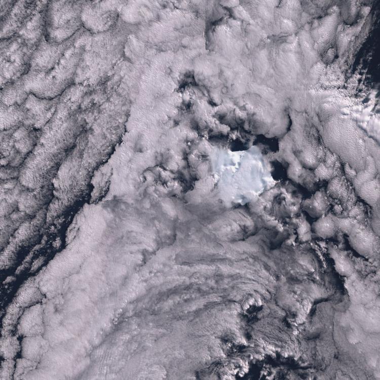
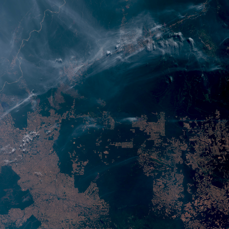
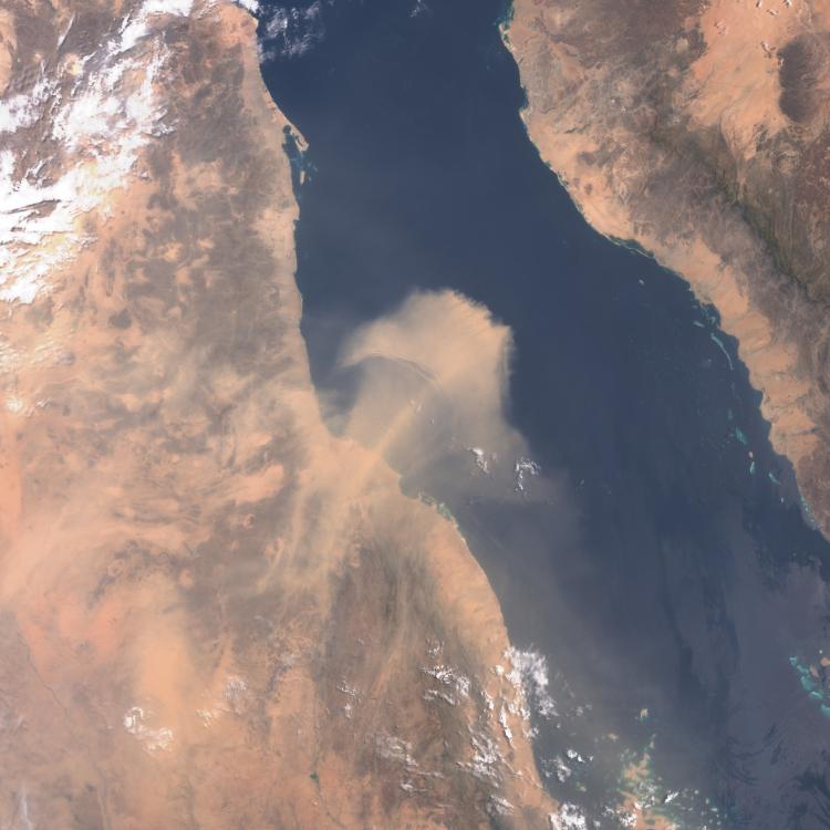
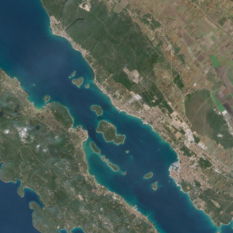
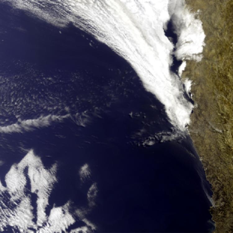
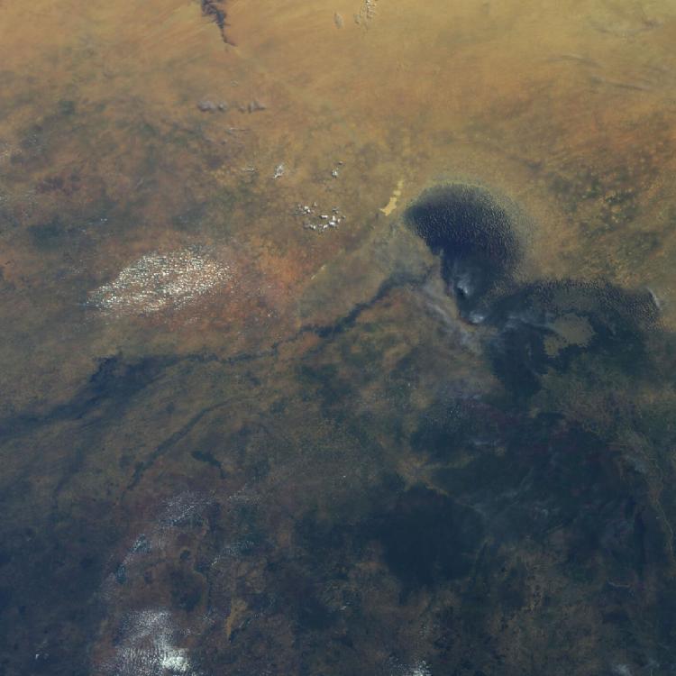
Image of the week: Smoke from Chilean wildfires


Watching our Earth from space

Smoke from Chilean wildfires, Sentinel-3, 18 January 2026

This week’s image is of smoke plumes from large wildfires near the city of Concepción, in Chile. The image was captured on 18 January 2026 by one of the Copernicus Sentinel-3 satellites.

Last Updated

19 January 2026

Published on

19 January 2026

Wildfires in Ñuble and Biobío regions of Chile have burnt through 8,500 hectares (21,000 acres) and caused the deaths of at least 18 people. The most dangerous fire has impacted dry forests bordering the coastal city of Concepción. 

The Chilean President, Gabriel Boric, has declared a state of catastrophe in the two regions and more than 50,000 people have so far been evacuated. 

The rapid spread of the wildfires has been exacerbated by recent hot, dry and windy conditions, which have made the fires harder to contain. 

Smoke from Chilean wildfires, Sentinel-3, 18 January 2026

Wildfire image

The main image was captured by the OLCI instrument onboard one of the Copernicus Sentinel-3 satellites on 18 January 2026.

EUMETSAT operates the Sentinel-3 satellites, in cooperation with ESA, and delivers the marine and atmospheric data on behalf of the European Union. 

More info

How data from EUMETSAT and Copernicus satellites is used to monitor the atmosphere.

How satellite data is used to help manage wildfires.

Access atmospheric data from EUMETSAT User Portal.

Spreading like wildfire - a UNEP report on the impact of climate and changing land use on the incidence of extreme wildfires.