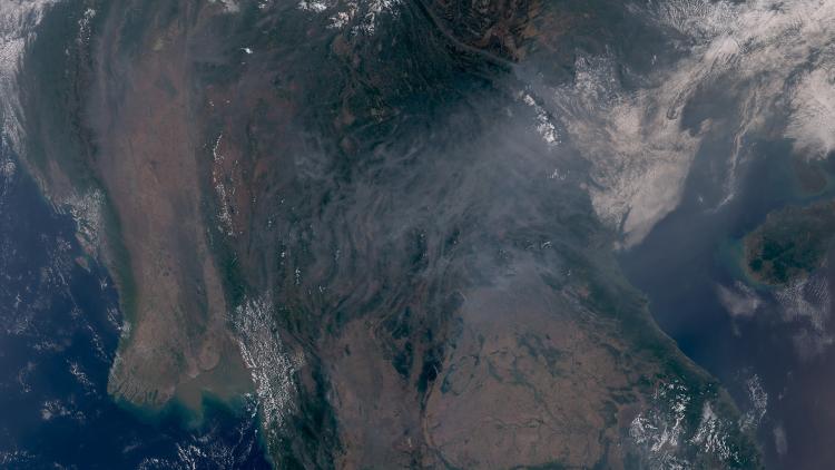
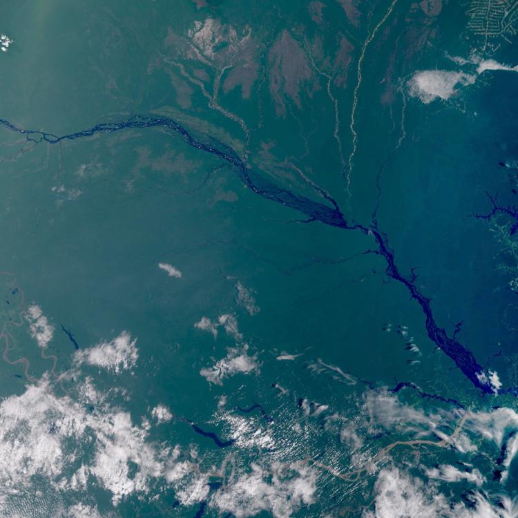
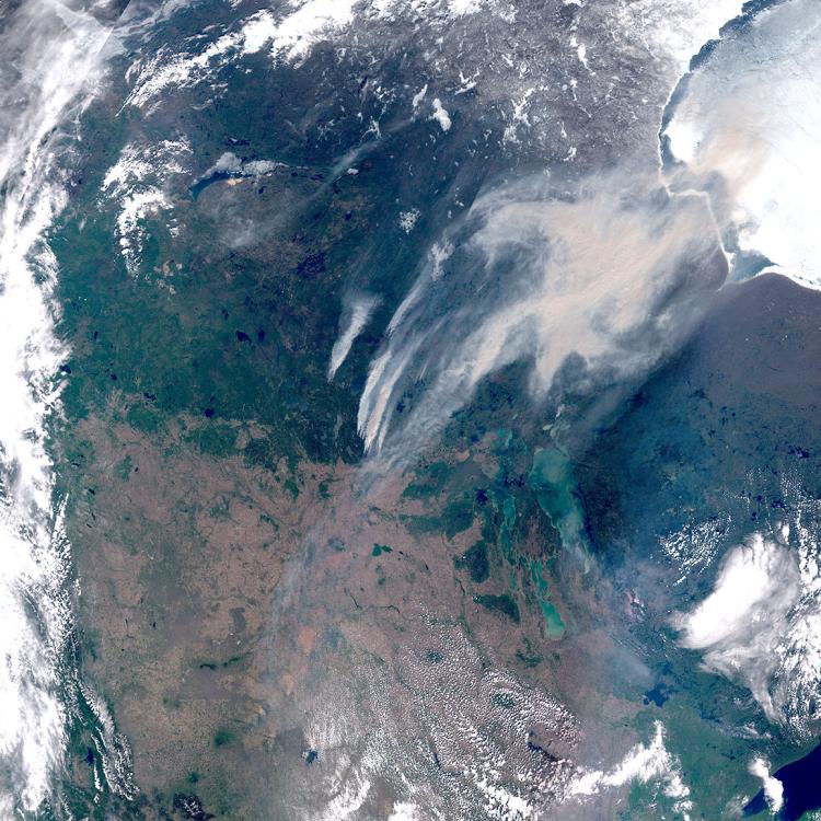
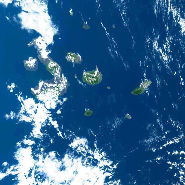
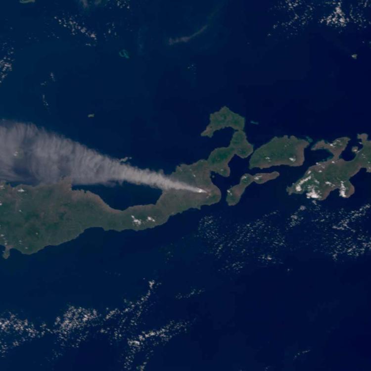
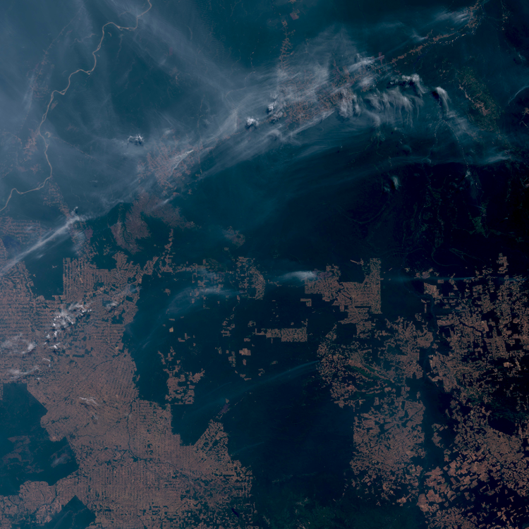
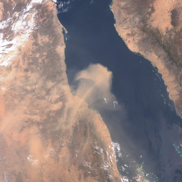
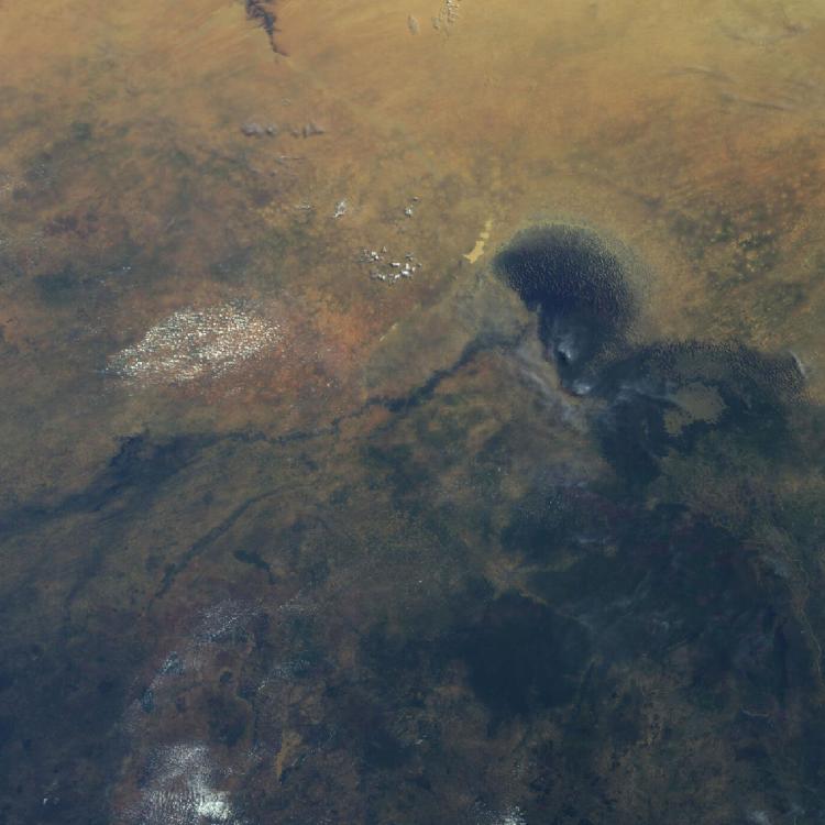
Image of the week: Mount Dukono ash cloud
Watching our Earth from space
This week’s image features the large ash cloud from the recent eruption of Mount Dukono on Halmahera Island, Indonesia. The image was captured by one of the Copernicus Sentinel-3 satellites on 8 May 2026.
The volcano erupted on 8 May sending ash 10km into the sky and tragically causing the deaths of three hikers and injuring several others who were in the area.
Mount Dukono has been erupting almost continuously since 1933, making it one of Indonesia’s consistently active volcanoes.
There are around 130 active volcanoes in Indonesia which are part of the Pacific Ring of Fire, a 40,000 kilometre horseshoe-shaped region of the Pacific Ocean that contains the majority of the world’s active volcanoes.
Volcanic ash image
The image was captured by the OLCI instrument onboard one of the Copernicus Sentinel-3 satellites on 8 May 2026.
EUMETSAT operates the Sentinel-3 satellites, in cooperation with ESA, and delivers the marine and atmospheric data on behalf of the European Union.
More info
Info on Mount Dukono
Track active Indonesian volcanoes
Visualise Sentinel-3 data with EUMETView or WEkEO
Access atmospheric data from EUMETSAT User Portal