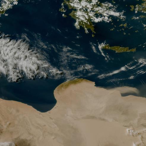
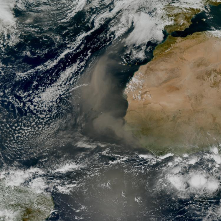
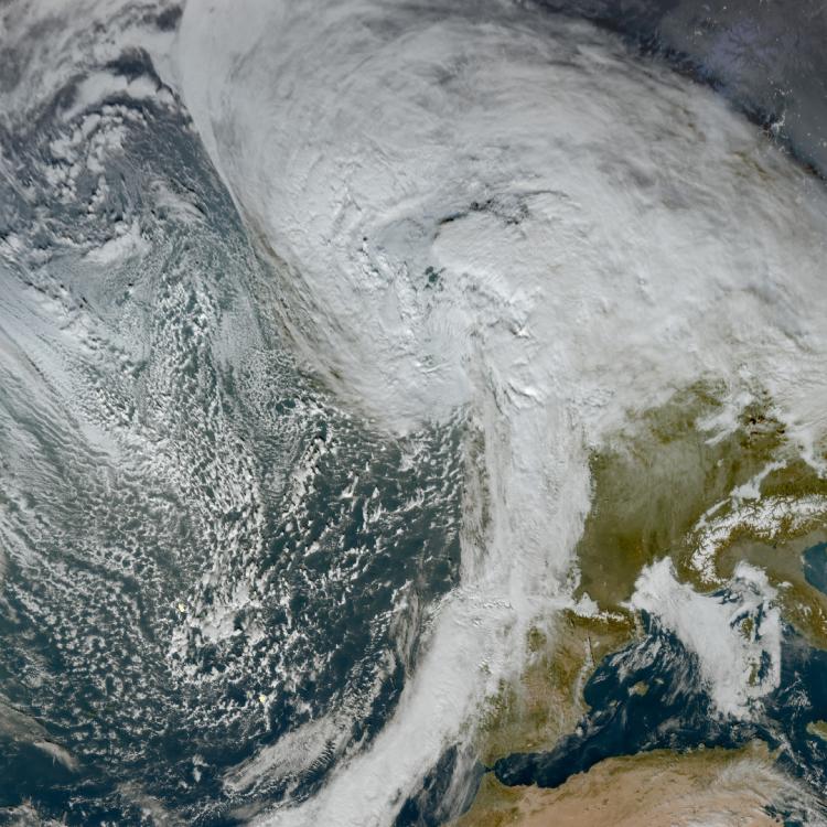
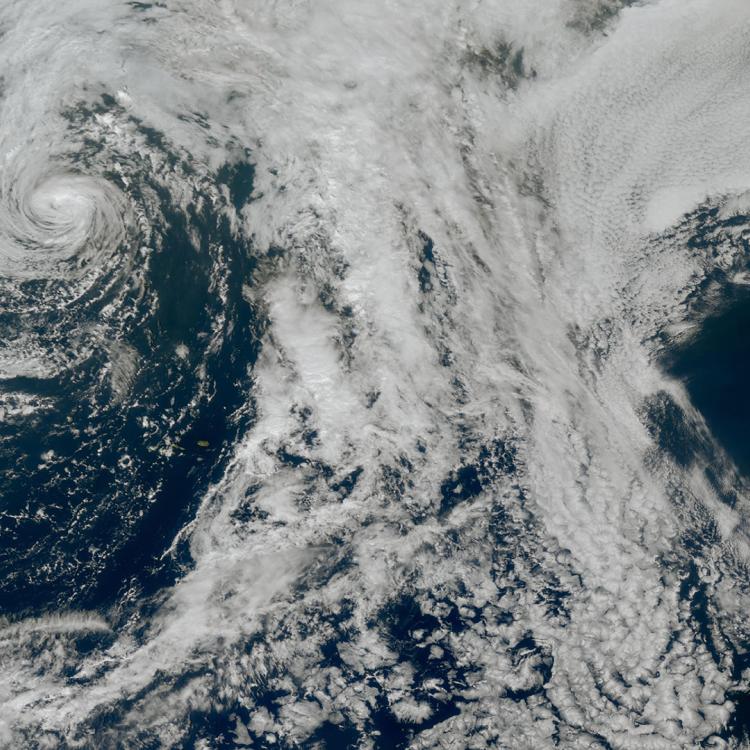
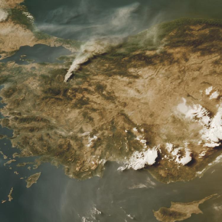
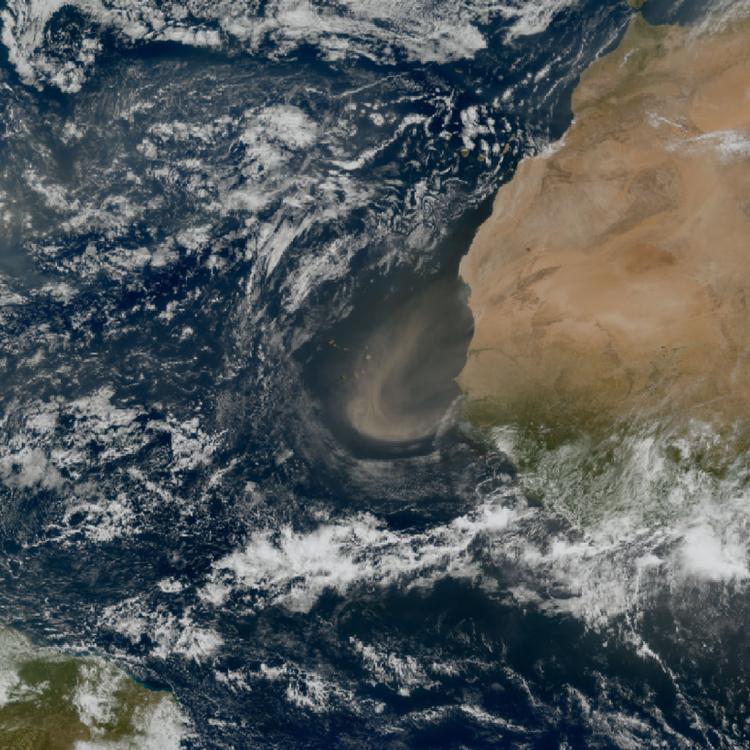
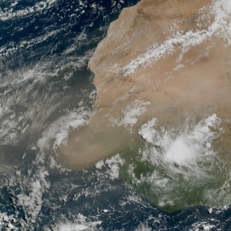
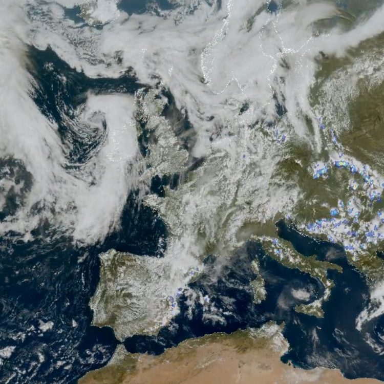
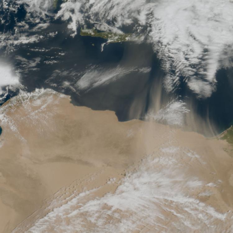
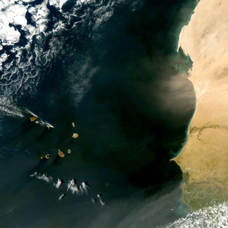
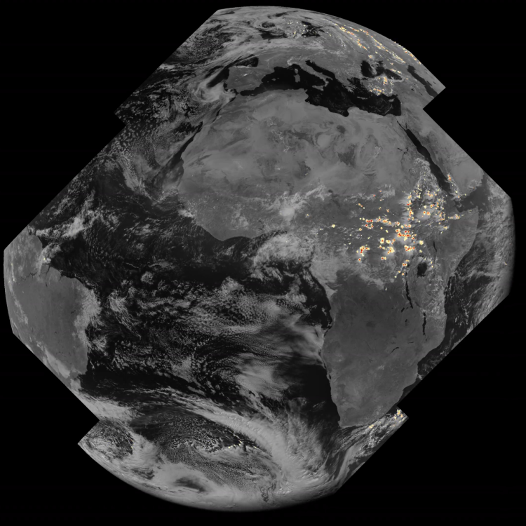
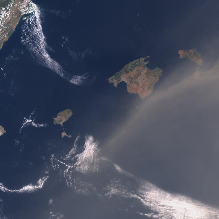
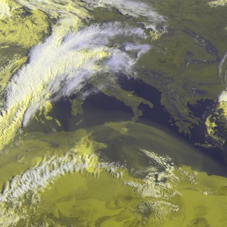
Image of the Week: Smoke from fires over Biscay in 2025
Watching our Earth from space
This week’s image was submitted by Grégoire Darras for our #EUMETSAT40 image competition. The image shows smoke from massive fires in northern Portugal and northwest Spain, which drifted over the Bay of Biscay and France in August 2025.
The #EUMETSAT40 competition asked users of the EUMETView satellite imagery platform to choose and submit striking images that capture powerful weather or environmental events.
Grégoire’s image of smoke over the Bay of Biscay, captured on August 15 2025, was one of the top three images that won the competition.
The judges selected the image for its strong visual impact and the way it highlights how severe events that may seem localised can actually influence much larger areas.
The competition was organised as part of celebrations to mark EUMETSAT’s 40th anniversary.
Wildfires in Spain and Portugal
In August 2025, Spain and Portugal were struck by record-breaking wildfires that caused extensive environmental damage and significantly altered the atmospheric composition across the Iberian Peninsula.
Satellite observations from the Copernicus Sentinel-3 and Sentinel-5P missions provided clear evidence of the intensity of these fires, capturing high Fire Radiative Power (FRP) and massive plumes of smoke and trace gases.
According to the EU’s Joint Research Centre, the 2025 fire season was the worst on record for the European Union. Satellite-based analysis from the European Forest Fire Information System (EFFIS) - managed by the European Commission’s Joint Research Centre - shows that 1,079,538 hectares were ravaged by fire across several EU countries.
Wildfire image
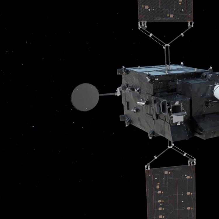
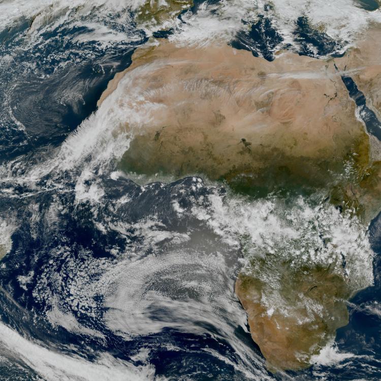
This image was captured by the FCI instrument onboard Meteosat-12 on 15 August 2025.
The Meteosat weather satellites provide imagery for the early detection of fast-developing severe weather, weather forecasting and climate monitoring.
More info
Advance report from the Joint Research Centre on fires across Europe
Fires across Europe in summer 2025
Current wildfire situation across Europe
How data from EUMETSAT and Copernicus satellites is used to monitor the atmosphere
How satellite data is used to help manage wildfires
Access atmospheric data from EUMETSAT User Portal